File:Outline Map of Central Russia.svg
跳至導覽
跳至搜尋

此 SVG 檔案的 PNG 預覽的大小:570 × 599 像素。 其他解析度:228 × 240 像素 | 457 × 480 像素 | 731 × 768 像素 | 974 × 1,024 像素 | 1,948 × 2,048 像素 | 684 × 719 像素。
原始檔案 (SVG 檔案,表面大小:684 × 719 像素,檔案大小:615 KB)
說明
說明
添加單行說明來描述出檔案所代表的內容
摘要
[編輯]| 描述 |
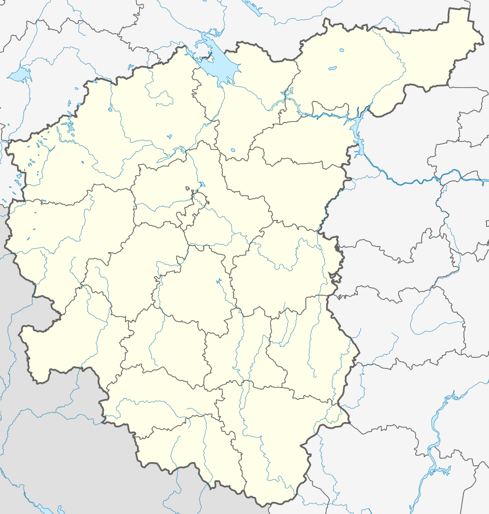
Русский: Россия, Центральный федеральный округ, административная карта.
Map boundaries:
|
||||||||
| 日期 | |||||||||
| 來源 |
|
||||||||
| 作者 | Nzeemin | ||||||||
| 其他版本 |
[]
|


授權條款
[編輯]
我,本作品的著作權持有者,決定用以下授權條款發佈本作品:
此檔案採用共享創意 姓名標示-相同方式分享 3.0 未在地化版本授權條款。
- 您可以自由:
- 分享 – 複製、發佈和傳播本作品
- 重新修改 – 創作演繹作品
- 惟需遵照下列條件:
- 姓名標示 – 您必須指名出正確的製作者,和提供授權條款的連結,以及表示是否有對內容上做出變更。您可以用任何合理的方式來行動,但不得以任何方式表明授權條款是對您許可或是由您所使用。
- 相同方式分享 – 如果您利用本素材進行再混合、轉換或創作,您必須基於如同原先的相同或兼容的條款,來分布您的貢獻成品。
檔案歷史
點選日期/時間以檢視該時間的檔案版本。
| 日期/時間 | 縮圖 | 尺寸 | 用戶 | 備註 | |
|---|---|---|---|---|---|
| 目前 | 2016年5月8日 (日) 18:58 | | 684 × 719(615 KB) | Gajmar(對話 | 貢獻) | Corrected the Moscow border and the border between Ivanovo and Nizhny Novgorod Oblasts |
| 2012年3月8日 (四) 19:48 |  | 684 × 719(575 KB) | Nzeemin(對話 | 貢獻) | plus the region border | |
| 2012年2月18日 (六) 17:51 |  | 684 × 719(551 KB) | Nzeemin(對話 | 貢獻) |
無法覆蓋此檔案。
檔案用途
下列18個頁面有用到此檔案:
- File:Outline Map of Central Russia.svg
- File:Outline Map of Far Eastern Federal District.svg
- File:Outline Map of North Caucasian Federal District.svg
- File:Outline Map of Northwestern Federal District.svg
- File:Outline Map of Southern Federal District.svg
- File:Outline Map of Volga Federal District.svg
- File:Outline map of Urals Federal District.svg
- File:Relief Map of Central Russia.png
- File:Relief Map of Far Eastern Federal District.jpg
- File:Relief Map of North Caucasian Federal District.jpg
- File:Relief Map of North Caucasian Federal District.svg
- File:Relief Map of Northwestern Federal District.jpg
- File:Relief Map of Southern Federal District.jpg
- File:Relief Map of Southern Federal District.svg
- File:Relief Map of Volga Federal District.jpg
- File:Relief map of Urals Federal District.jpg
- File:Relief map of Urals Federal District.svg
- Template:Other versions/Federal Districts of Russia
全域檔案使用狀況
以下其他 wiki 使用了這個檔案:
- ar.wikipedia.org 的使用狀況
- be.wikipedia.org 的使用狀況
- bg.wikipedia.org 的使用狀況
- ceb.wikipedia.org 的使用狀況
- da.wikipedia.org 的使用狀況
- de.wikipedia.org 的使用狀況
- en.wikipedia.org 的使用狀況
- Golden Ring of Russia
- Oka (river)
- Federal districts of Russia
- Central Federal District
- Great Stand on the Ugra River
- Muravsky Trail
- 2008 Russian Second Division
- User:Benjamin Trovato/My Nogai
- 2009 Russian Second Division
- Module:Location map/data/Russia Central Federal District/doc
- Expansion of Russia (1500–1800)
- Wikipedia:Graphics Lab/Map workshop/Archive/Apr 2013
- Module talk:Location map/Archive 6
- 2016–17 Russian Professional Football League
- Module:Location map/data/Russia Central Federal District
- et.wikipedia.org 的使用狀況
- fr.wikipedia.org 的使用狀況
- Stade Loujniki
- Megasport Arena
- Mytichtchi Arena
- Olimpiisky Indoor Arena
- RZD Arena
- Palais des sports de glace CSKA
- Petite arène sportive Loujniki
- Palais des sports Sokolniki
- Centre de hockey sur glace 2004
- Balachikha Arena
- Palais de glace Podmoskovie
- Stade Dynamo (Moscou)
- Accident de l'avion présidentiel polonais à Smolensk
- Complexe sportif Dmitrov
- Matrosskaïa Tichina
- Palais des sports Krylia Sovetov
- Prison de Lgov
- Modèle:Géolocalisation/District fédéral central
- Prison d'Orel
- Arena Khimki
- Otkrytie Arena
- Stade Rodina
- Stade Novye Khimki
- Palais des sports olympique (Tchekhov)
檢視此檔案的更多全域使用狀況。