File:Pakistan relief location map.jpg
跳至導覽
跳至搜尋

預覽大小:750 × 599 像素。 其他解析度:300 × 240 像素 | 601 × 480 像素 | 961 × 768 像素 | 1,280 × 1,023 像素 | 2,365 × 1,890 像素。
原始檔案 (2,365 × 1,890 像素,檔案大小:1.93 MB,MIME 類型:image/jpeg)
說明
說明
添加單行說明來描述出檔案所代表的內容
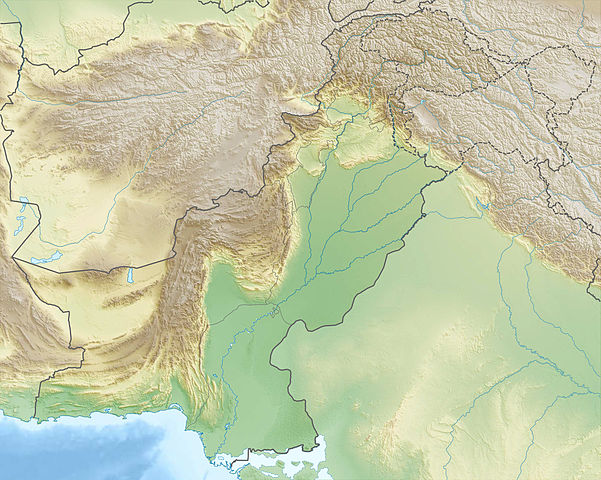
Pakistan relief location map
| 描述 |
Deutsch: Physische Positionskarte von Pakistan
Quadratische Plattkarte, N-S-Streckung 115 %. Geographische Begrenzung der Karte:
English: Physical location map of Pakistan
Equirectangular projection, N/S stretching 115 %. Geographic limits of the map:
|
| 日期 | |
| 來源 |
自己的作品, using
|
| 作者 | Carport |
| 授權許可 (重用此檔案) |
此檔案採用共享創意 姓名標示-相同方式分享 3.0 未在地化版本授權條款。
|
| 其他版本 |
|

檔案歷史
點選日期/時間以檢視該時間的檔案版本。
| 日期/時間 | 縮圖 | 尺寸 | 用戶 | 備註 | |
|---|---|---|---|---|---|
| 目前 | 2012年12月14日 (五) 22:44 | | 2,365 × 1,890(1.93 MB) | Carport(對話 | 貢獻) | {{Information |Description= {{de|Physische Positionskarte von Pakistan}} Quadratische Plattkarte, N-S-Streckung 115 %. Geographische Begrenzung der Karte: * N: 37.3° N * S: 23.4° N * W: 60.5° O * O: 80.5° O {{en|Physical location m... |
無法覆蓋此檔案。
檔案用途
下列3個頁面有用到此檔案:
全域檔案使用狀況
以下其他 wiki 使用了這個檔案:
- an.wikipedia.org 的使用狀況
- ar.wikipedia.org 的使用狀況
- ast.wikipedia.org 的使用狀況
- az.wikipedia.org 的使用狀況
- bg.wikipedia.org 的使用狀況
檢視此檔案的更多全域使用狀況。