File:Ph fil northern mindanao.png
跳至導覽
跳至搜尋
預覽大小:384 × 599 像素。 其他解析度:154 × 240 像素 | 308 × 480 像素 | 492 × 768 像素 | 656 × 1,024 像素 | 2,000 × 3,120 像素。
原始檔案 (2,000 × 3,120 像素,檔案大小:137 KB,MIME 類型:image/png)
說明
說明
添加單行說明來描述出檔案所代表的內容
摘要[編輯]
| 描述 |
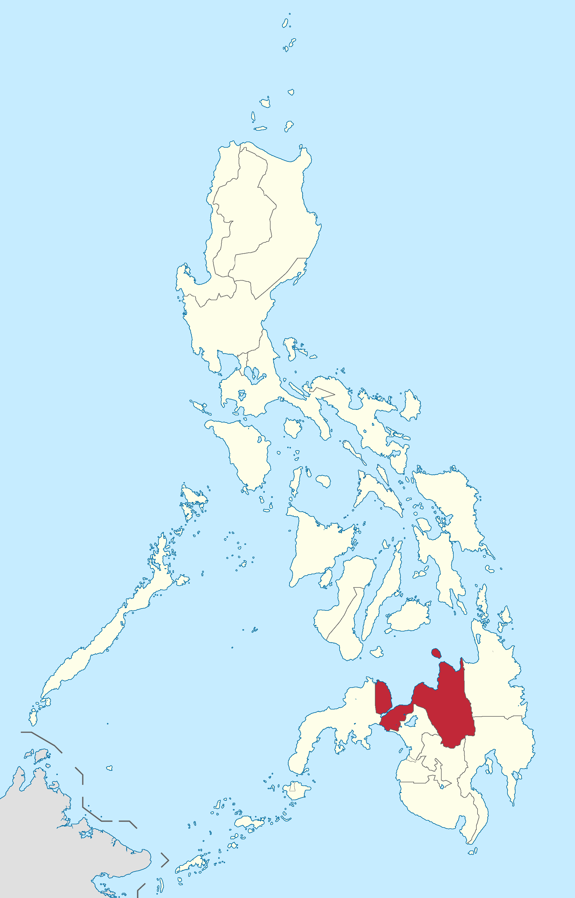
English: Location of Northern Mindanao region in the Philippines.
Filipino: Kinaroroonan ng rehiyon ng Hilagang Mindanao sa Pilipinas. |
| 日期 | |
| 來源 |
BlankMap-Philippines.png by User:TheCoffee
|
| 作者 | Roel Balingit |
授權條款[編輯]
我,本作品的著作權持有者,決定用以下授權條款發佈本作品:
此檔案採用創用CC 姓名標示-相同方式分享 3.0 未在地化版本授權條款。
- 您可以自由:
- 分享 – 複製、發佈和傳播本作品
- 重新修改 – 創作演繹作品
- 惟需遵照下列條件:
- 姓名標示 – 您必須指名出正確的製作者,和提供授權條款的連結,以及表示是否有對內容上做出變更。您可以用任何合理的方式來行動,但不得以任何方式表明授權條款是對您許可或是由您所使用。
- 相同方式分享 – 如果您利用本素材進行再混合、轉換或創作,您必須基於如同原先的相同或兼容的條款,來分布您的貢獻成品。

|
If you choose to use this work under the Creative Commons license stated above, the author, Roel Balingit (Namayan), would like you to attribute the work to him (among other requirements such as indicating that the work is licensed under the Creative Commons) with the following text or similar:
© Roel Balingit, 2012.
His name should be a link to the Wikimedia Commons userpage Namayan. If a link is not possible, then the url should be placed in parentheses after the name. If the work has been substantially altered by other people (see the File history section below), then this particular attribution requirement is waived, which means you can attribute the work in any reasonable manner. This attribution requirement is provided pursuant to the Creative Commons Attribution mechanism where "you must attribute the work in the manner specified by the author or licensor (but not in any way that suggests that they endorse you or your use of the work)." (See "Attribution" in the Creative Commons website.)
|
檔案歷史
點選日期/時間以檢視該時間的檔案版本。
| 日期/時間 | 縮圖 | 尺寸 | 使用者 | 備註 | |
|---|---|---|---|---|---|
| 目前 | 2019年2月11日 (一) 05:21 | | 2,000 × 3,120(137 KB) | Hariboneagle927(留言 | 貢獻) | Reverted to version as of 03:25, 15 August 2012 (UTC) NIR no longer exists |
| 2015年6月5日 (五) 10:09 |  | 2,000 × 3,120(136 KB) | Namayan(留言 | 貢獻) | Removed Region 6/7 boundaries, Negros Island Region created | |
| 2012年8月15日 (三) 03:25 |  | 2,000 × 3,120(137 KB) | Namayan(留言 | 貢獻) |
無法覆蓋此檔案。
檔案用途
沒有使用此檔案的頁面。
全域檔案使用狀況
以下其他 wiki 使用了這個檔案:
- az.wikipedia.org 的使用狀況
- en.wikipedia.org 的使用狀況
- Mindanao
- Maria Cristina Falls
- Tinago Falls
- Columbio
- Catarman, Camiguin
- Mahinog
- Guinsiliban
- Aloran
- Baliangao
- Bonifacio, Misamis Occidental
- Clarin, Misamis Occidental
- Concepcion, Misamis Occidental
- Don Victoriano Chiongbian
- Lopez Jaena
- Panaon, Misamis Occidental
- Sinacaban
- Magsaysay, Lanao del Norte
- Matungao
- Nunungan
- Pantao Ragat
- Poona Piagapo
- Salvador, Lanao del Norte
- Sapad
- Tagoloan, Lanao del Norte
- Alubijid
- Binuangan
- Kinoguitan
- Lagonglong
- Libertad, Misamis Oriental
- Magsaysay, Misamis Oriental
- Manticao
- Medina, Misamis Oriental
- Sugbongcogon
- Talisayan
- Huluga Caves
- Dodiongan Falls
- Mount Agad-Agad
- Mount Sumagaya
- Maria Cristina Airport
- Abaga Falls
- Macajalar Bay
- Lake Apo
- Mount Kalatungan
- White Island (Philippines)
- Bagontaas, Bukidnon
- Mt. Nebo, Valencia
- San Carlos, Valencia
- Lurugan, Bukidnon
- Lilingayon, Bukidnon
檢視此檔案的更多全域使用狀況。