File:Pontic caspian blank map.png
Spring til navigation
Spring til søgning
Størrelse af denne forhåndsvisning: 757 × 600 pixels. Andre opløsninger: 303 × 240 pixels | 606 × 480 pixels | 970 × 768 pixels | 1.192 × 944 pixels.
Oprindelig fil (1.192 × 944 billedpunkter, filstørrelse: 186 KB, MIME-type: image/png)
Captions
Captions
Tilføj en kort forklaring på en enkelt linje om hvad filen viser
Beskrivelse
[redigér]
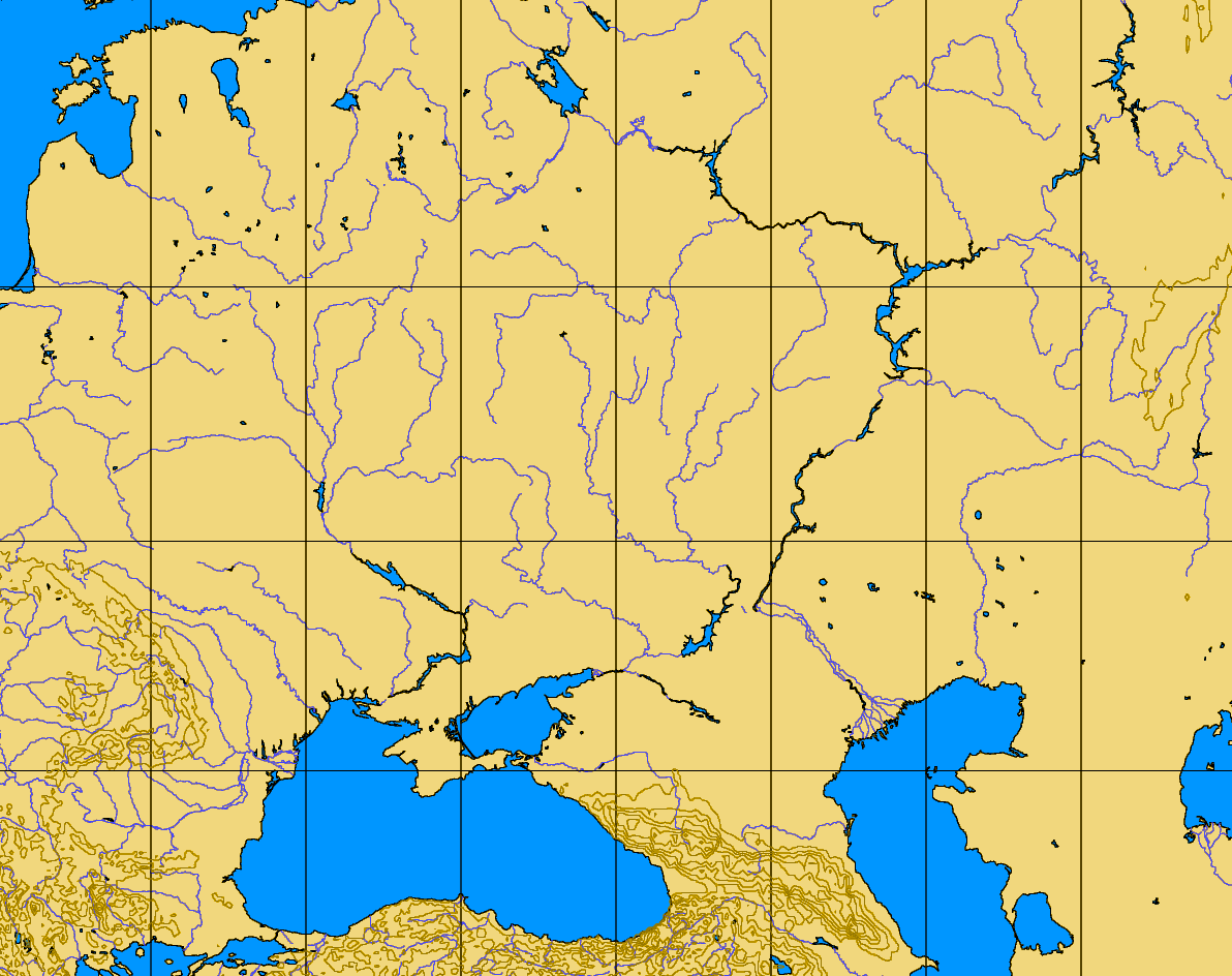
| Beskrivelse | blank map of the Pontic-Caspian steppes, 40-60 N, 20-60 E |
| Kilde | http://www.aquarius.geomar.de/omc/make_map.html |
| Forfatter |
Licensering
[redigér]
| This image is from Planiglobe. All maps hosted on Planiglobe are licensed under the Creative Commons Attribution 2.5 License, but Planiglobe suggests that they not be used for navigational purposes. For the purposes of this license, this clause is considered a disclaimer and not a license restriction. Denne fil er udgivet under Creative Commons Navngivelse 2.5 Generisk-licensen
|
Filhistorik
Klik på en dato/tid for at se filen som den så ud på det tidspunkt.
| Dato/tid | Miniaturebillede | Dimensioner | Bruger | Kommentar | |
|---|---|---|---|---|---|
| nuværende | 11. aug. 2005, 07:35 | | 1.192 × 944 (186 KB) | Dbachmann (diskussion | bidrag) | blank map of the Pontic-Caspian steppes, 40-60 N, 20-60 E http://www.aquarius.geomar.de/omc/make_map.html {{PD}} |
Du kan ikke overskrive denne fil.
Filanvendelse
Den følgende side bruger denne fil:
Global filanvendelse
Følgende andre wikier anvender denne fil:
- Anvendelser på en.wikipedia.org