File:Região de Adamaua, Camarões.svg

Pradinė rinkmena (SVG rinkmena, formaliai 586 × 769 taškų, rinkmenos dydis: 1,2 MiB)
Captions
Captions
| Aprašymas |
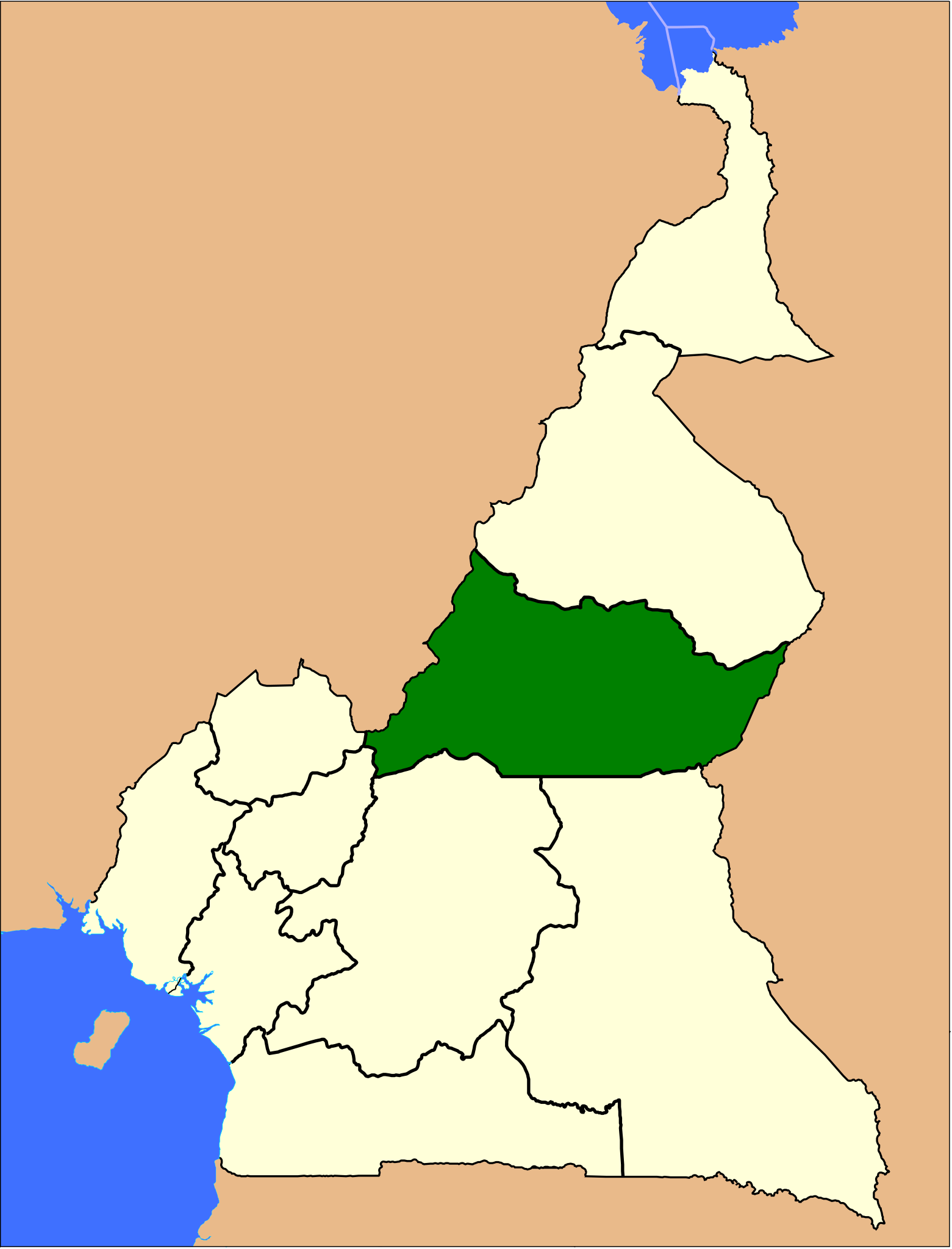
Português: |
|||
| Data | ||||
| Šaltinis | File:Provinces of Cameroon numbered.svg. | |||
| Autorius |
by Luan |
|||
| Leidimas (Šios rinkmenos panaudojimas kitur) |
|

Rinkmenos istorija
Paspauskite ant datos/laiko, kad pamatytumėte rinkmeną tokią, kokia ji buvo tuo metu.
| Data/Laikas | Miniatiūra | Matmenys | Naudotojas | Paaiškinimas | |
|---|---|---|---|---|---|
| dabartinis | 16:51, 7 rugsėjo 2011 | | 586 × 769 (1,2 MiB) | Luan (aptarimas | indėlis) | {{Information |Description={{pt|{{legend|#008000|pt:Região de Adamaua, em pt:Camarões.}}}} |Source= File:Provinces of Cameroon numbered.svg. |Date= 2011-09-07 |Author= {{user:luan/autor}} |Permission= {{UN map}} |other_versions= }} [[C |
Jūs negalite perrašyti šios rinkmenos.
Rinkmenos naudojimas
Rinkmena nėra naudojama jokiame puslapyje.
Visuotinis rinkmenos naudojimas
Ši rinkmena naudojama šiose viki svetainėse:
- Naudojama lt.wikipedia.org
- Naudojama pt.wikipedia.org