File:Rockingham-Exeter-NH.png
Aller à la navigation
Aller à la recherche
Pas de plus haute résolution disponible.
Rockingham-Exeter-NH.png (600 × 481 pixels, taille du fichier : 12 kio, type MIME : image/png)
Légendes
Légendes
Ajoutez en une ligne la description de ce que représente ce fichier
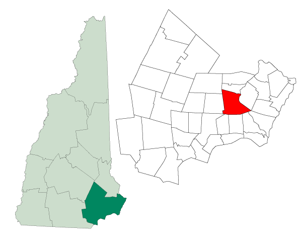
| Description | Map of a municipality in Rockingham County, New Hampshire |
| Date | |
| Source | Created from Boundary/Border Outline Files of the Libre Map Project which held a BY-SA creative commons license. Data origionally from 2000 US Census boundary data. |
| Auteur | Andrew Sawyer |
| Autorisation (Réutilisation de ce fichier) |
Originally - CC-BY-SA-2.0 Ce fichier est disponible selon les termes de la licence Creative Commons Attribution – Partage dans les Mêmes Conditions 2.0 Générique
|
Historique du fichier
Cliquer sur une date et heure pour voir le fichier tel qu'il était à ce moment-là.
| Date et heure | Vignette | Dimensions | Utilisateur | Commentaire | |
|---|---|---|---|---|---|
| actuel | 23 août 2006 à 21:32 | | 600 × 481 (12 kio) | SatyrTN (d | contributions) | {{Information| |Description=Map of a municipality in Rockingham County, New Hampshire |Source=Created from [http://libre.redjar.org/maps/data/boundary/ Boundary/Border Outline Files] of the Libre Map Project which held a [http://creativecommons.org/licens |
Vous ne pouvez pas remplacer ce fichier.
Utilisations locales du fichier
La page suivante utilise ce fichier :
Utilisations du fichier sur d’autres wikis
Les autres wikis suivants utilisent ce fichier :
- Utilisation sur de.wikipedia.org
- Utilisation sur en.wikipedia.org
- Utilisation sur fa.wikipedia.org
- Utilisation sur it.wikipedia.org
- Utilisation sur ja.wikipedia.org
- Utilisation sur sh.wikipedia.org
- Utilisation sur sr.wikipedia.org
- Utilisation sur ur.wikipedia.org