File:Saint-Ouen-La-Rouërie (35) Mairie.jpg
跳至導覽
跳至搜尋
預覽大小:800 × 472 像素。 其他解析度:320 × 189 像素 | 640 × 377 像素 | 1,024 × 604 像素 | 1,280 × 755 像素 | 2,981 × 1,758 像素。
原始檔案 (2,981 × 1,758 像素,檔案大小:1.38 MB,MIME 類型:image/jpeg)
說明
說明
添加單行說明來描述出檔案所代表的內容
摘要
[編輯]_Mairie.jpg&action=edit§ion=1)
| 描述 |
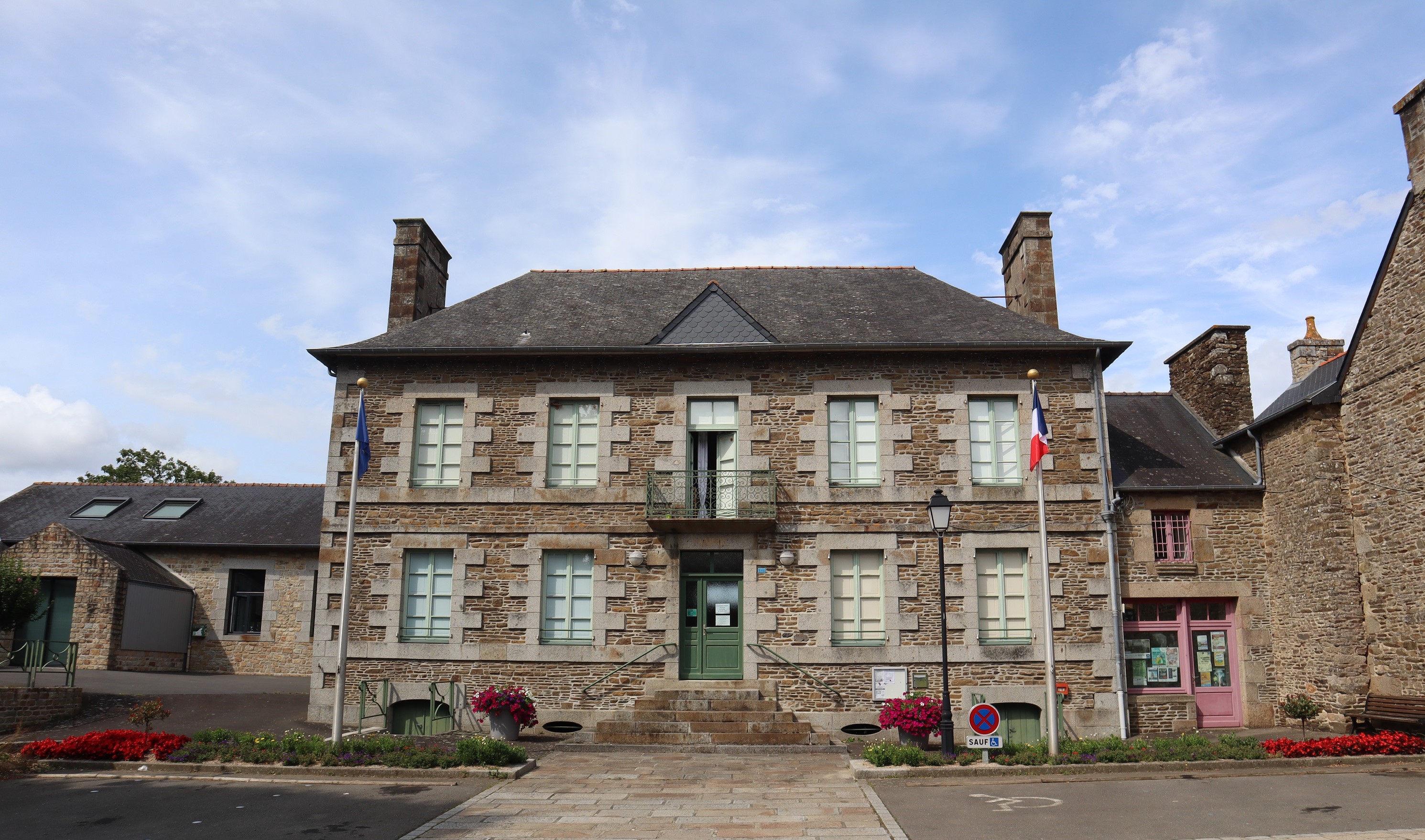
Français : Mairie de Saint-Ouen-La-Rouërie (35) |
| 日期 | |
| 來源 | 自己的作品 |
| 作者 | GO69 |
| 目標地點 | | 位於此地的本圖片與其他圖片: OpenStreetMap |
|---|
_Mairie.jpg¶ms=048.462979_N_-001.443254_E_globe:Earth_class:object_type:object__&language=zh-mo)
|
This building is indexed in the base Mérimée, a database of architectural heritage maintained by the French Ministry of Culture, under the reference IA35049688
|
授權條款
[編輯]_Mairie.jpg&action=edit§ion=2)
| 我,此作品的版權所有人,釋出此作品至公共領域。此授權條款在全世界均適用。 這可能在某些國家不合法,如果是的話: 我授予任何人有權利使用此作品於任何用途,除受法律約束外,不受任何限制。 |
檔案歷史
點選日期/時間以檢視該時間的檔案版本。
| 日期/時間 | 縮圖 | 尺寸 | 用戶 | 備註 | |
|---|---|---|---|---|---|
| 目前 | 2023年7月17日 (一) 04:57 | | 2,981 × 1,758(1.38 MB) | GO69(對話 | 貢獻) | |
| 2010年11月18日 (四) 17:24 |  | 596 × 447(57 KB) | GO69(對話 | 貢獻) | {{Information |Description={{fr|1=Mairie de Saint-Ouen-La-Rouërie (35)}} |Source={{own}} |Author=GO69 |Date=18/11/2010 |Permission= |other_versions= }} Category:Town halls in Ille-et-Vilaine |
無法覆蓋此檔案。
檔案用途
下列頁面有用到此檔案:
全域檔案使用狀況
以下其他 wiki 使用了這個檔案:
- br.wikipedia.org 的使用狀況
- ca.wikipedia.org 的使用狀況
- ceb.wikipedia.org 的使用狀況
- ce.wikipedia.org 的使用狀況
- cs.wikipedia.org 的使用狀況
- cy.wikipedia.org 的使用狀況
- en.wikipedia.org 的使用狀況
- es.wikipedia.org 的使用狀況
- eu.wikipedia.org 的使用狀況
- fr.wikipedia.org 的使用狀況
- gl.wikipedia.org 的使用狀況
- hu.wikipedia.org 的使用狀況
- it.wikipedia.org 的使用狀況
- la.wikipedia.org 的使用狀況
- oc.wikipedia.org 的使用狀況
- pl.wikipedia.org 的使用狀況
- pt.wikipedia.org 的使用狀況
- ro.wikipedia.org 的使用狀況
- sk.wikipedia.org 的使用狀況
- sv.wikipedia.org 的使用狀況
- tt.wikipedia.org 的使用狀況
- uk.wikipedia.org 的使用狀況
- uz.wikipedia.org 的使用狀況
- www.wikidata.org 的使用狀況
- zh-min-nan.wikipedia.org 的使用狀況
- zh.wikipedia.org 的使用狀況
_Mairie.jpg&oldid=784975251)