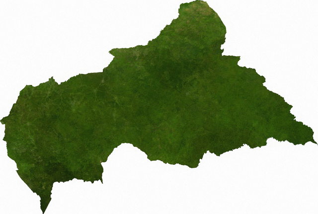
File:Satellite map of the Central African Republic.png
跳转到导航
跳转到搜索

本预览的尺寸:800 × 539像素。 其他分辨率:320 × 216像素 | 640 × 431像素 | 1,024 × 690像素 | 1,280 × 862像素 | 1,566 × 1,055像素。
原始文件 (1,566 × 1,055像素,文件大小:1.72 MB,MIME类型:image/png)
说明
说明
添加一行文字以描述该文件所表现的内容
ECW to TIFF to PNG (compression level 9).
| This file is in the public domain, because it was generated by a user, using free sources available at The Map Library.
Note that this does not include the maps in the Global Administrative Areas section of the homepage. |
原始上传日志
[编辑]
| date/time | username | resolution | size | edit summary |
|---|---|---|---|---|
| 2006-07-13T03:41:14Z | User:Cwolfsheep | 1566×1055 | 1.72Gb | [[Wikipedia:ECW|ECW]] to [[Wikipedia:TIFF|TIFF]] to [[Wikipedia:PNG|PNG]] (compression level 9). {{PD-MapLibrary}} |
文件历史
点击某个日期/时间查看对应时刻的文件。
| 日期/时间 | 缩略图 | 大小 | 用户 | 备注 | |
|---|---|---|---|---|---|
| 当前 | 2009年7月6日 (一) 16:45 | | 1,566 × 1,055(1.72 MB) | BetacommandBot(留言 | 贡献) | move approved by: User:Kintetsubuffalo This image was moved from File:Cenafrep sat.png ECW to TIFF to PNG (compression level 9). {{PD-MapLibrary}} [[Category:Maps of the Central African Re |
您不可以覆盖此文件。
文件用途
以下页面使用本文件:
全域文件用途
以下其他wiki使用此文件:
- af.wikipedia.org上的用途
- cs.wikipedia.org上的用途
- en.wikipedia.org上的用途
- ka.wikipedia.org上的用途
- mk.wikipedia.org上的用途
- pl.wikipedia.org上的用途
- sg.wikipedia.org上的用途
- tl.wikipedia.org上的用途
- uk.wikipedia.org上的用途
- zh.wikipedia.org上的用途