File:Seoul South Korea location map.svg
跳至導覽
跳至搜尋

此 SVG 檔案的 PNG 預覽的大小:800 × 569 像素。 其他解析度:320 × 228 像素 | 640 × 455 像素 | 1,024 × 728 像素 | 1,280 × 911 像素 | 2,560 × 1,821 像素 | 970 × 690 像素。
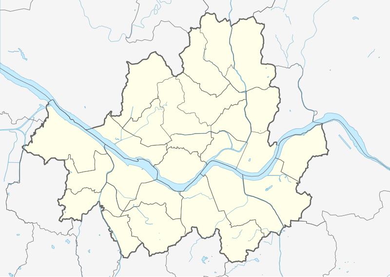
原始檔案 (SVG 檔案,表面大小:970 × 690 像素,檔案大小:262 KB)
說明
說明
添加單行說明來描述出檔案所代表的內容
摘要[編輯]
| 描述 |
|
||||||||||||
| 日期 | |||||||||||||
| 來源 |
個人作品,使用: |
||||||||||||
| 作者 | Mikey641 and OpenStreetMap contributors | ||||||||||||
| SVG開發 | 本向量圖形使用Adobe Illustrator創作。 |
||||||||||||
授權條款[編輯]
此檔案採用共享創意 姓名標示-相同方式分享 2.0 通用版授權條款。
- 您可以自由:
- 分享 – 複製、發佈和傳播本作品
- 重新修改 – 創作演繹作品
- 惟需遵照下列條件:
- 姓名標示 – 您必須指名出正確的製作者,和提供授權條款的連結,以及表示是否有對內容上做出變更。您可以用任何合理的方式來行動,但不得以任何方式表明授權條款是對您許可或是由您所使用。
- 相同方式分享 – 如果您利用本素材進行再混合、轉換或創作,您必須基於如同原先的相同或兼容的條款,來分布您的貢獻成品。
檔案歷史
點選日期/時間以檢視該時間的檔案版本。
| 日期/時間 | 縮圖 | 尺寸 | 用戶 | 備註 | |
|---|---|---|---|---|---|
| 目前 | 2017年2月27日 (一) 11:05 | | 970 × 690(262 KB) | IRTC1015(對話 | 貢獻) | Correct error: Guri is not a part of Seoul |
| 2016年8月25日 (四) 21:51 |  | 970 × 690(286 KB) | Mikey641(對話 | 貢獻) | Thicker border | |
| 2016年8月25日 (四) 19:22 |  | 970 × 690(283 KB) | Mikey641(對話 | 貢獻) | Editing SVG source code using User:Rillke/SVGedit.js; upload handled by User:Rillke/MwJSBot.js | |
| 2016年8月25日 (四) 18:27 |  | 970 × 690(285 KB) | Mikey641(對話 | 貢獻) | - | |
| 2016年8月25日 (四) 18:20 |  | 970 × 690(287 KB) | Mikey641(對話 | 貢獻) | User created page with UploadWizard |
無法覆蓋此檔案。
檔案用途
下列4個頁面有用到此檔案:
全域檔案使用狀況
以下其他 wiki 使用了這個檔案:
- ar.wikipedia.org 的使用狀況
- bcl.wikipedia.org 的使用狀況
- bn.wikipedia.org 的使用狀況
- ceb.wikipedia.org 的使用狀況
- de.wikipedia.org 的使用狀況
- en.wikipedia.org 的使用狀況
- Seoul National University
- Gimpo International Airport
- Namhansan
- N Seoul Tower
- Dongmyo
- Changdeokgung
- Blue House
- Dongguk University
- Itaewon
- Namsan Mountain
- Cheonggyecheon
- SKY (universities)
- Battle of Haengju
- Hongdae (area)
- Ministry of Unification
- Yeouido
- Cheongnyangni 588
- Jongmyo (Seoul)
- Seorae Village
- Segok-dong
- Munjeong-dong
- Gangil-dong
- Gonghang-dong
- Ahyeon-dong
- Wonseo-dong
- Inwangsan
- Oksu-dong
- Gongdeok-dong
- Insu-dong
- Suraksan
- Samseongsan (Gyeonggi/Seoul)
- Buramsan
- Yongmabong
- Module:Location map/data/South Korea Seoul/doc
- Grand Hyatt Seoul
- Eungbongsan (Seoul)
- Gaeunsan
檢視此檔案的更多全域使用狀況。