File:Seto-Inland-Sea-Photo.jpg
Skočit na navigaci
Skočit na vyhledávání
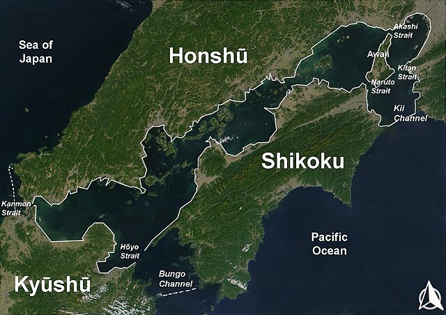
Velikost tohoto náhledu: 800 × 565 pixelů. Jiná rozlišení: 320 × 226 pixelů | 640 × 452 pixelů | 1 024 × 723 pixelů | 1 280 × 904 pixelů | 1 700 × 1 200 pixelů.
Původní soubor (1 700 × 1 200 pixelů, velikost souboru: 945 KB, MIME typ: image/jpeg)
Popisky
Popisky
Přidejte jednořádkové vysvětlení, co tento soubor představuje
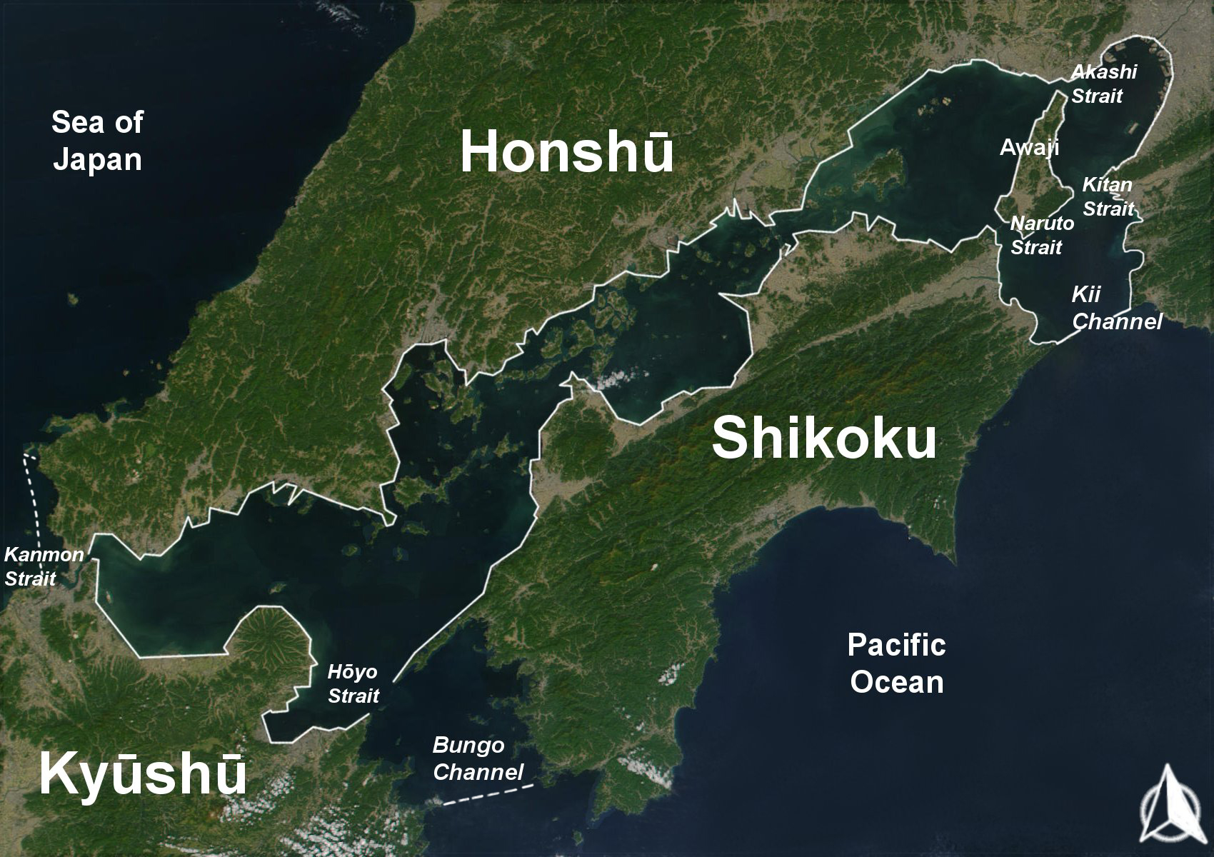
Shikoku island.
Popis[editovat]
| Popis |
English: The Range of the Seto Inland Sea by the Territorial Sea Law (領海及び接続水域に関する法律) is 19,700 km2 (solid lines). Reference: Seto_Inland_Sea01.png . The Range of the Seto Inland Sea according to the Setouchi Law and the Setouchi Law Enforcement Order is 21,827 km2 (solid lines and dashed lines). Reference: Seto_Inland_Sea02.png.
Español: Mar interior de Seto. Extensión del Mar Interior |
| Datum | |
| Zdroj | Based on a Public-Domain-Satellite photo of NASA |
| Autor | User:Guenny (Christian Günther) made this map of the Japanese Inland Sea (Setonaikai,瀬戸内海) for the German Wikipedia. de:Seto-Inlandsee. It's showing the Japanese islands surrounding the sea with the major straits and channels. Guenny is willing to do translations to other languages if needed, as well as corrections and enhancements. |

|
Tento dokument smí být kopírován, šířen nebo upravován podle podmínek Svobodné licence GNU pro dokumenty verze 1.2 nebo libovolné vyšší verze publikované nadací Free Software Foundation. Dokument nemá neměnné části ani texty na předním či zadním přebalu. Kopie textu licence je k dispozici v oddíle nazvaném GNU Free Documentation License. |
| Tento soubor podléhá licenci Creative Commons Uveďte autora-Zachovejte licenci 3.0 Unported | ||
| ||
| Tato licenční šablona byla k tomuto souboru přidána v rámci změny licencování. |
Historie souboru
Kliknutím na datum a čas se zobrazí tehdejší verze souboru.
| Datum a čas | Náhled | Rozměry | Uživatel | Komentář | |
|---|---|---|---|---|---|
| současná | 11. 8. 2019, 10:43 | | 1 700 × 1 200 (945 KB) | Artanisen (diskuse | příspěvky) | Added white solid lines for Kii Channel. |
| 11. 8. 2019, 10:32 |  | 1 700 × 1 200 (941 KB) | Artanisen (diskuse | příspěvky) | Corrected white lines. The Range of the Seto Inland Sea by the Territorial Sea Law is 19,700 km2 (solid lines). Reference: Seto_Inland_Sea01.png . The Range of the Seto Inland Sea according to the Setouchi Law and the Setouchi Law Enforcement Order is 21,827 km2 (solid lines and dashed lines). Reference: Seto_Inland_Sea02.png . | |
| 18. 11. 2004, 19:18 |  | 1 700 × 1 200 (326 KB) | Christian Dobrinoff (diskuse | příspěvky) | {{GFDL}} |
Tento soubor nemůžete přepsat.
Využití souboru
Na Commons na soubor odkazují tyto stránky:
Globální využití souboru
Tento soubor využívají následující wiki:
- Využití na an.wikipedia.org
- Využití na ar.wikipedia.org
- Využití na ast.wikipedia.org
- Využití na avk.wikipedia.org
- Využití na azb.wikipedia.org
- Využití na az.wikipedia.org
- Využití na bn.wikipedia.org
- Využití na br.wikipedia.org
- Využití na bs.wikipedia.org
- Využití na ca.wikipedia.org
- Využití na cs.wikipedia.org
- Využití na da.wikipedia.org
- Využití na de.wikipedia.org
- Využití na el.wikipedia.org
- Využití na en.wikipedia.org
- Využití na en.wiktionary.org
- Využití na eo.wikipedia.org
- Využití na es.wikipedia.org
- Využití na et.wikipedia.org
- Využití na eu.wikipedia.org
- Využití na fa.wikipedia.org
- Využití na fi.wikipedia.org
- Využití na fr.wikipedia.org
- Využití na fy.wikipedia.org
- Využití na gl.wikipedia.org
- Využití na he.wikipedia.org
- Využití na hr.wikipedia.org
- Využití na hu.wikipedia.org
- Využití na id.wikipedia.org
- Využití na is.wikipedia.org
- Využití na it.wikipedia.org
Zobrazit další globální využití tohoto souboru.