File:South Africa Mpumalanga location map.svg
跳至導覽
跳至搜尋

此 SVG 檔案的 PNG 預覽的大小:579 × 599 像素。 其他解析度:232 × 240 像素 | 464 × 480 像素 | 742 × 768 像素 | 989 × 1,024 像素 | 1,979 × 2,048 像素 | 1,031 × 1,067 像素。
原始檔案 (SVG 檔案,表面大小:1,031 × 1,067 像素,檔案大小:175 KB)
說明
說明
添加單行說明來描述出檔案所代表的內容
摘要
[編輯]
| 描述 |
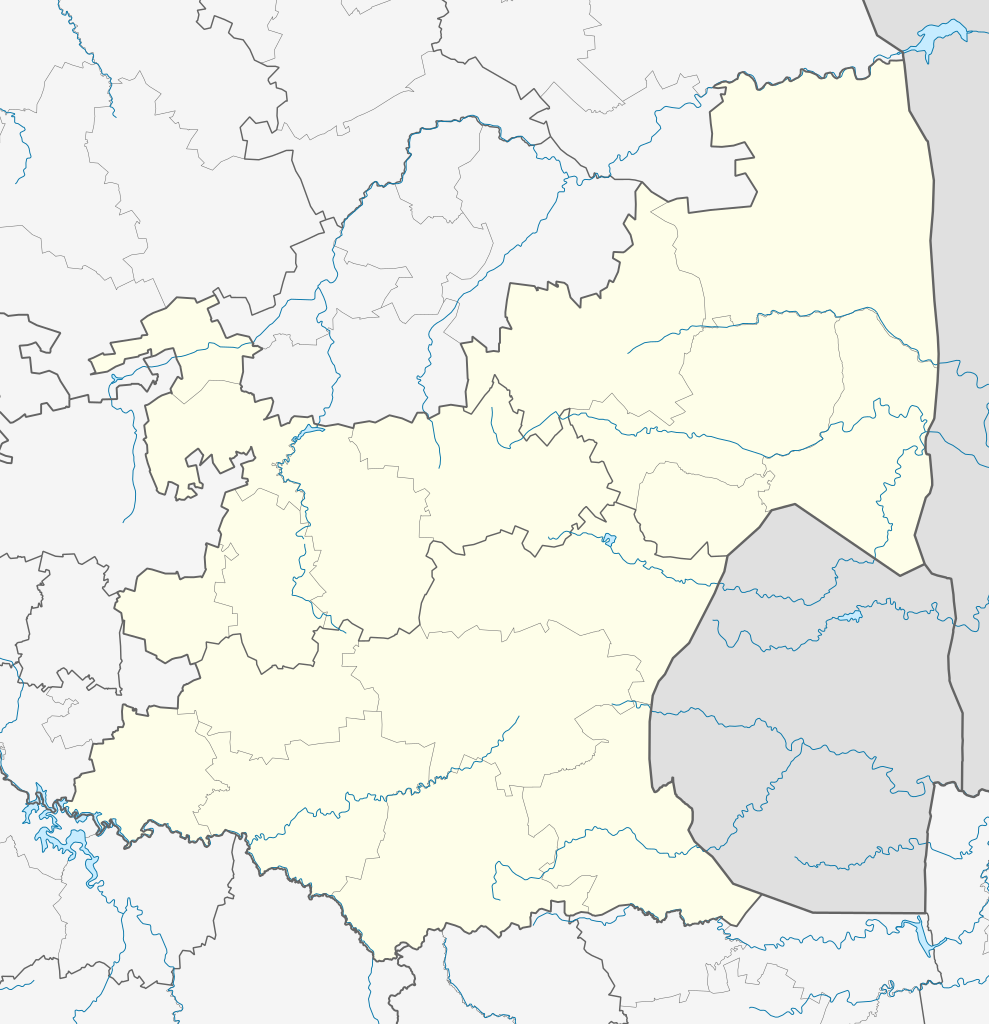
English: Location map of Mpumalanga
Equirectangular projection, N/S stretching 110%. Geographic limits of the map:
|
| 日期 | |
| 來源 |
|
| 作者 | Htonl |
| 授權許可 (重用此檔案) |
我,本作品的著作權持有者,決定用以下授權條款發佈本作品: 此檔案採用創用CC 姓名標示-相同方式分享 3.0 未在地化版本授權條款。
|
| 其他版本 | File:South Africa Mpumalanga relief location map.svg, File:Blank map of Mpumalanga (2011).svg |
.svg)
檔案歷史
點選日期/時間以檢視該時間的檔案版本。
| 日期/時間 | 縮圖 | 尺寸 | 使用者 | 備註 | |
|---|---|---|---|---|---|
| 目前 | 2013年1月6日 (日) 20:21 | | 1,031 × 1,067(175 KB) | Htonl(留言 | 貢獻) | == {{int:filedesc}} == {{Information |Description ={{en|Location map of en:Mpumalanga Equirectangular projection, N/S stretching 110%. Geographic limits of the map: * N: 23.75° S * S: 27.75° S * W: 28° E * E: 32.25° E}} |Source = *... |
無法覆蓋此檔案。
檔案用途
沒有使用此檔案的頁面。
全域檔案使用狀況
以下其他 wiki 使用了這個檔案:
- af.wikipedia.org 的使用狀況
- Nelspruit
- Ermelo, Mpumalanga
- Witbank
- Pelgrimsrus
- Graskop
- Marlothpark
- Dullstroom
- Breyten
- Carolina
- Amsterdam, Mpumalanga
- Amersfoort, Mpumalanga
- Badplaas
- Chrissiesmeer
- Perdekop
- Piet Retief, Mpumalanga
- Morgenzon
- Volksrust
- Wakkerstroom
- Lydenburg
- Barberton
- Standerton
- Evander
- Sabie
- Secunda
- Middelburg, Mpumalanga
- Machadodorp
- Greylingstad
- Delmas
- Kaapsehoop
- Balfour, Mpumalanga
- Hazyview
- Bethal
- Nelspruit-lughawe
- Loopspruit
- Kinross
- Hectorspruit
- Kaapmuiden
- Vaalbank
- Komatipoort
- Waterval-Boven
- Sjabloon:Liggingkaart Mpumalanga
- Malalane
- Hendrina
- Trichardt
- Ogies
- Kriel
- Mashishing
- Sheepmoor
- Witrivier
- Mac-Macwaterval
檢視此檔案的更多全域使用狀況。