File:South Africa Mpumalanga relief location map.svg
跳至導覽
跳至搜尋

此 SVG 檔案的 PNG 預覽的大小:579 × 599 像素。 其他解析度:232 × 240 像素 | 464 × 480 像素 | 742 × 768 像素 | 989 × 1,024 像素 | 1,979 × 2,048 像素 | 1,031 × 1,067 像素。
原始檔案 (SVG 檔案,表面大小:1,031 × 1,067 像素,檔案大小:2.26 MB)
說明
說明
添加單行說明來描述出檔案所代表的內容
摘要
[編輯]
| 描述 |
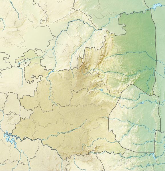
English: Relief location map of Mpumalanga
Equirectangular projection, N/S stretching 110%. Geographic limits of the map:
|
| 日期 | |
| 來源 | |
| 作者 | Htonl |
| 授權許可 (重用此檔案) |
我,本作品的著作權持有者,決定用以下授權條款發佈本作品: 此檔案採用創用CC 姓名標示-相同方式分享 3.0 未在地化版本授權條款。
|
| 其他版本 | File:South Africa Mpumalanga location map.svg |
檔案歷史
點選日期/時間以檢視該時間的檔案版本。
| 日期/時間 | 縮圖 | 尺寸 | 使用者 | 備註 | |
|---|---|---|---|---|---|
| 目前 | 2013年1月6日 (日) 20:23 | | 1,031 × 1,067(2.26 MB) | Htonl(留言 | 貢獻) | == {{int:filedesc}} == {{Information |Description ={{en|Relief location map of en:Mpumalanga Equirectangular projection, N/S stretching 110%. Geographic limits of the map: * N: 23.75° S * S: 27.75° S * W: 28° E * E: 32.25° E}} |Source ... |
無法覆蓋此檔案。
檔案用途
沒有使用此檔案的頁面。
全域檔案使用狀況
以下其他 wiki 使用了這個檔案:
- af.wikipedia.org 的使用狀況
- ar.wikipedia.org 的使用狀況
- bg.wikipedia.org 的使用狀況
- ceb.wikipedia.org 的使用狀況
- de.wikipedia.org 的使用狀況
- en.wikipedia.org 的使用狀況
- Alfred Dunhill Championship
- Timbavati Private Nature Reserve
- Goedehoop natural rock bridge
- Highveld Classic
- Blyde River Canyon Nature Reserve
- Loskop Dam Nature Reserve
- Songimvelo Game Reserve
- Kowyn Pass
- Lion Sands Reserve
- Module:Location map/data/South Africa Mpumalanga/doc
- Lisbon Falls (waterfall)
- Skukuza Airport
- Sabi Sand Game Reserve
- Module:Location map/data/South Africa Mpumalanga
- Pam Golding Ladies International
- eo.wikipedia.org 的使用狀況
- es.wikipedia.org 的使用狀況
- frr.wikipedia.org 的使用狀況
- fr.wikipedia.org 的使用狀況
- he.wikipedia.org 的使用狀況
- id.wikipedia.org 的使用狀況
- ja.wikipedia.org 的使用狀況
檢視此檔案的更多全域使用狀況。