File:Southern Indian Lake.jpg
跳至導覽
跳至搜尋
預覽大小:572 × 599 像素。 其他解析度:229 × 240 像素 | 458 × 480 像素 | 813 × 852 像素。
原始檔案 (813 × 852 像素,檔案大小:348 KB,MIME 類型:image/jpeg)
說明
說明
添加單行說明來描述出檔案所代表的內容
摘要
[編輯]
| 拍攝地點 | | 位於此地的本圖片與其他圖片: OpenStreetMap |
|---|
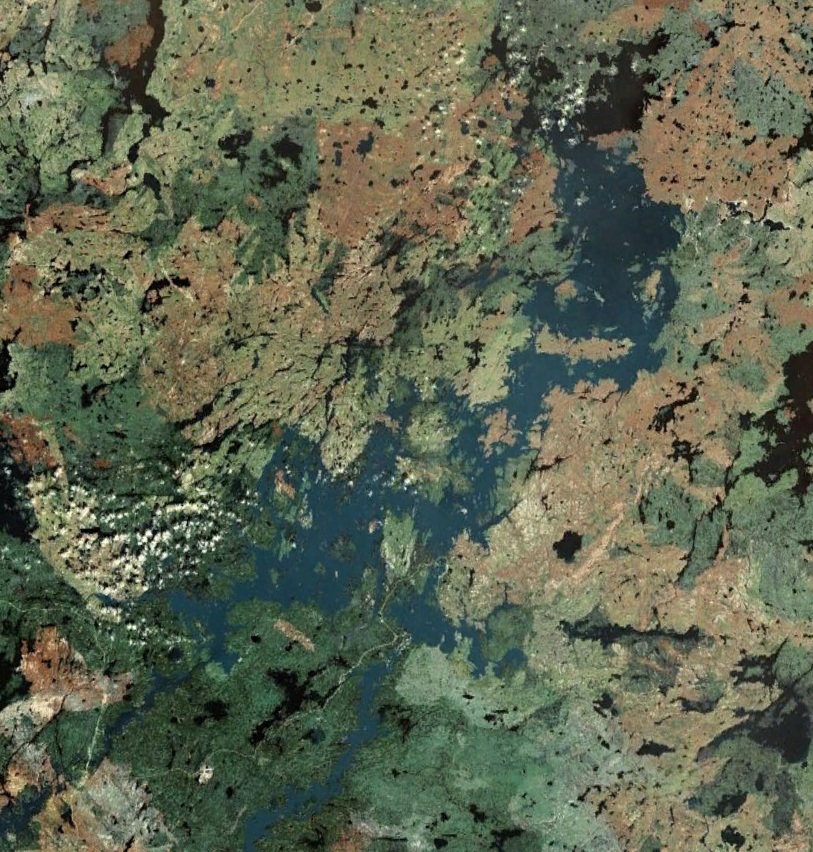
| 描述 |
Français : Lac Southern Indian, Manitoba, Canada |
| 日期 | |
| 來源 | NASA WorldWind |
| 作者 | NASA |
授權條款
[編輯]
| 本圖像屬於公有領域,因其為NASA的World Wind衛星地圖瀏覽器的一張截圖,且使用了公有領域圖層,如Blue Marble、MODIS、Landsat、SRTM、USGS、GLOBE等。
|
 |
檔案歷史
點選日期/時間以檢視該時間的檔案版本。
| 日期/時間 | 縮圖 | 尺寸 | 使用者 | 備註 | |
|---|---|---|---|---|---|
| 目前 | 2011年12月10日 (六) 22:42 | | 813 × 852(348 KB) | SamuelFreli(留言 | 貢獻) |
無法覆蓋此檔案。
檔案用途
沒有使用此檔案的頁面。
全域檔案使用狀況
以下其他 wiki 使用了這個檔案:
- arz.wikipedia.org 的使用狀況
- bg.wikipedia.org 的使用狀況
- ca.wikipedia.org 的使用狀況
- ceb.wikipedia.org 的使用狀況
- cv.wikipedia.org 的使用狀況
- de.wikipedia.org 的使用狀況
- en.wikipedia.org 的使用狀況
- es.wikipedia.org 的使用狀況
- fr.wikipedia.org 的使用狀況
- ja.wikipedia.org 的使用狀況
- lv.wikipedia.org 的使用狀況
- pl.wikipedia.org 的使用狀況
- ru.wikipedia.org 的使用狀況
- sr.wikipedia.org 的使用狀況
- www.wikidata.org 的使用狀況
- zh.wikipedia.org 的使用狀況