File:Spain Balearic Islands location map.svg
跳至導覽
跳至搜尋

此 SVG 檔案的 PNG 預覽的大小:800 × 520 像素。 其他解析度:320 × 208 像素 | 640 × 416 像素 | 1,024 × 665 像素 | 1,280 × 832 像素 | 2,560 × 1,663 像素 | 1,539 × 1,000 像素。
原始檔案 (SVG 檔案,表面大小:1,539 × 1,000 像素,檔案大小:78 KB)
說明
說明
添加單行說明來描述出檔案所代表的內容
| 描述 |
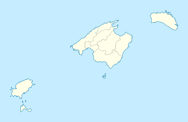
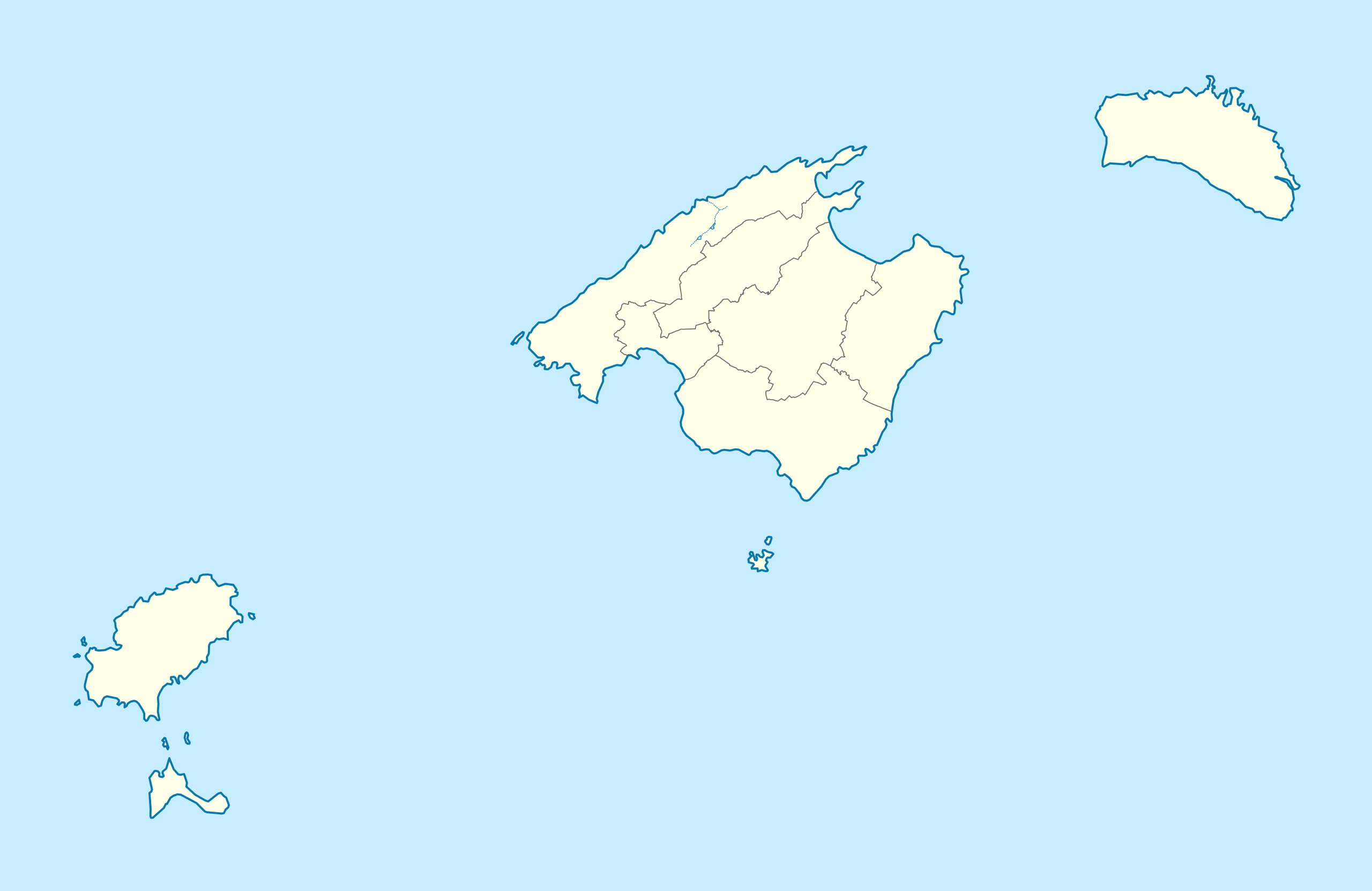
Deutsch: Positionskarte von Balearische Inseln
Quadratische Plattkarte, N-S-Streckung 130 %. Geographische Begrenzung der Karte:
English: Location map of Balearic Islands
Equirectangular projection, N/S stretching 130 %. Geographic limits of the map:
|
| 日期 | (UTC) |
| 來源 | |
| 作者 | |
| 其他版本 |
|

此檔案採用創用CC 姓名標示-相同方式分享 3.0 未在地化版本授權條款。
- 您可以自由:
- 分享 – 複製、發佈和傳播本作品
- 重新修改 – 創作演繹作品
- 惟需遵照下列條件:
- 姓名標示 – 您必須指名出正確的製作者,和提供授權條款的連結,以及表示是否有對內容上做出變更。您可以用任何合理的方式來行動,但不得以任何方式表明授權條款是對您許可或是由您所使用。
- 相同方式分享 – 如果您利用本素材進行再混合、轉換或創作,您必須基於如同原先的相同或兼容的條款,來分布您的貢獻成品。
原始上傳日誌
[編輯]
This image is a derivative work of the following images:
- File:Spain_location_map.svg licensed with Cc-by-sa-3.0, GFDL
- 2008-07-07T14:23:21Z NordNordWest 1184x1016 (548734 Bytes)
- File:LocBaleares.svg licensed with Cc-by-sa-3.0,2.5,2.0,1.0, GFDL
- File:Localització_de_la_Serra_de_la_Tramuntana.png licensed with Cc-by-sa-3.0-migrated, GFDL
- 2005-08-15T00:43:04Z Unf 231x179 (8359 Bytes)
Uploaded with derivativeFX
檔案歷史
點選日期/時間以檢視該時間的檔案版本。
| 日期/時間 | 縮圖 | 尺寸 | 使用者 | 備註 | |
|---|---|---|---|---|---|
| 目前 | 2010年3月7日 (日) 21:18 | | 1,539 × 1,000(78 KB) | Spischot(留言 | 貢獻) | Fix: Transparency of region borders |
| 2010年3月7日 (日) 15:42 |  | 1,539 × 1,000(79 KB) | Spischot(留言 | 貢獻) | {{Information |Description= {{de|Positionskarte von de:Balearische Inseln}} Quadratische Plattkarte, N-S-Streckung 130 %. Geographische Begrenzung der Karte: * N: 40.25° N * S: 38.5° N * W: 1.0° O * O: 4.5° O {{en|Location map of [[:en:Ba |
無法覆蓋此檔案。
檔案用途
下列頁面有用到此檔案:
全域檔案使用狀況
以下其他 wiki 使用了這個檔案:
- ar.wikipedia.org 的使用狀況
- ast.wikipedia.org 的使用狀況
- azb.wikipedia.org 的使用狀況
- az.wikipedia.org 的使用狀況
- bg.wikipedia.org 的使用狀況
- ceb.wikipedia.org 的使用狀況
- de.wikipedia.org 的使用狀況
- Es Culleram
- Coves d’Artà
- Flughafen Palma de Mallorca
- Coves del Drac
- Aeródromo de Son Bonet
- Estadi de Son Moix
- Na Patarrà
- Coves dels Hams
- Benutzer:Spischot/Bilder
- Flughafen Menorca
- Flugplatz San Luis (Menorca)
- Wikipedia:Kartenwerkstatt/Positionskarten/Europa
- Hypogäum von Torre del Ram
- Vorlage:Positionskarte Spanien Balearische Inseln
- Wikipedia:Kartenwerkstatt/Archiv/2011-03
- Cova de sa Gleda – Camp des Pou
- Port de Palma
- Far des Cap de ses Salines
- Basilika auf der Illa del Rei
- Nekropole von Cala Morell
- Nekropole Cales Coves
- Estadio Lluis Sitjar
- Far des Cap Blanc
- Far de Capdepera
- Far de Formentor
- Solarkraftwerk Cortadeta
- Solarkraftwerk Artà
- Solarkraftwerk Can Verd
- Solarkraftwerk Son Salomó
- Far de Punta Nati
- Windpark Es Milà
- Far de la Mola
- Kraftwerk Maó
- Kraftwerk Ibiza
檢視此檔案的更多全域使用狀況。