File:Spain Location Map.png
跳去導覽
跳去搵嘢

預覽大細:800 × 457 像素。 第啲解像度:320 × 183 像素 | 640 × 366 像素 | 1,024 × 585 像素 | 1,280 × 731 像素 | 3,300 × 1,885 像素。
原本檔案 (3,300 × 1,885 像素,檔案大細:1.1 MB ,MIME類型:image/png)
Captions
Captions
Add a one-line explanation of what this file represents
摘要
[編輯]
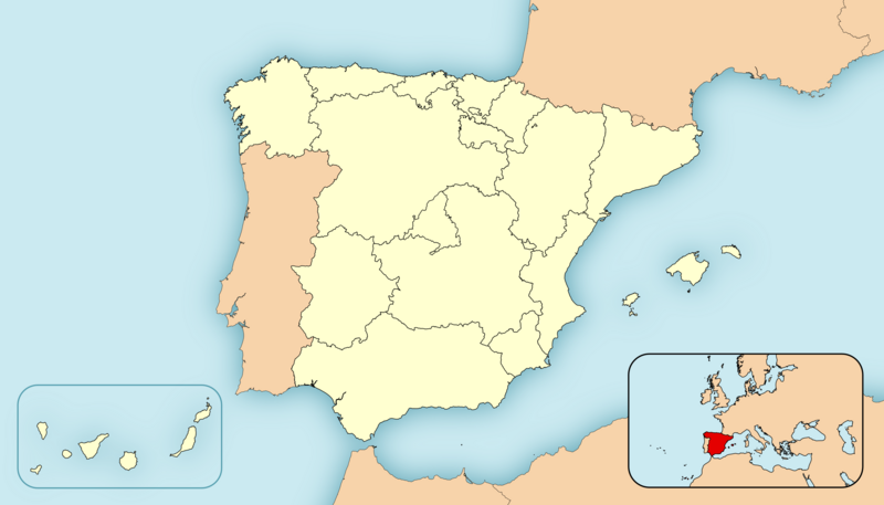
| 描述 | Spain Location Map |
| 日期 | |
| 來源 | 自己作品 |
| 作者 | HansenBCN |
協議
[編輯]
| I, the copyright holder of this work, release this work into the public domain. This applies worldwide. In some countries this may not be legally possible; if so: I grant anyone the right to use this work for any purpose, without any conditions, unless such conditions are required by law. |
| Annotations | This image is annotated: View the annotations at Commons |
檔案歷史
撳個日期/時間去睇響嗰個時間出現過嘅檔案。
| 日期/時間 | 縮圖 | 尺寸 | 用戶 | 註解 | |
|---|---|---|---|---|---|
| 現時 | 2008年4月26號 (六) 00:17 | | 3,300 × 1,885(1.1 MB) | HansenBCN(傾偈 | 貢獻) | {{Information |Description=Spain Location Map |Source=self-made |Date=26/april/2008 |Author= HansenBCN |Permission= |other_versions= }} |
你無得衾咗個檔案。
檔案用途
以下嘅12版用到呢個檔:
全域檔案使用情況
下面嘅維基都用緊呢個檔案:
- el.wikipedia.org嘅使用情況
- es.wikipedia.org嘅使用情況