File:St Marys Island.png
跳转到导航
跳转到搜索
本预览的尺寸:659 × 600像素。 其他分辨率:264 × 240像素 | 528 × 480像素 | 822 × 748像素。
原始文件 (822 × 748像素,文件大小:39 KB,MIME类型:image/png)
说明
说明
添加一行文字以描述该文件所表现的内容
摘要
[编辑]
| 描述 |
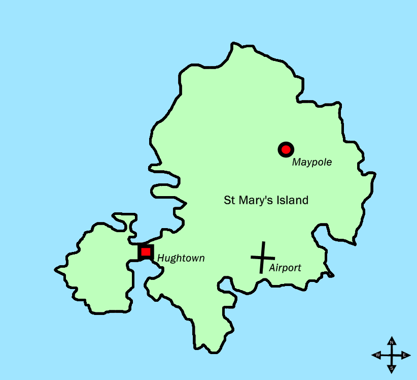
English: Map of the Scilly island of St. Mary's, with n/e/s/w and placenames. |
| 日期 | 2009年6月5日 (原始上传日期) |
| 来源 | Transferred from en.wikipedia to Commons by Oxyman using CommonsHelper. |
| 作者 | 英语维基百科的Bohemian Arcade |
许可协议
[编辑]
英语维基百科的Bohemian Arcade,本作品著作权人,特此采用以下许可协议发表本作品:
本文件采用知识共享署名 3.0 未本地化版本许可协议授权。
- 您可以自由地:
- 共享 – 复制、发行并传播本作品
- 修改 – 改编作品
- 惟须遵守下列条件:
- 署名 – 您必须对作品进行署名,提供授权条款的链接,并说明是否对原始内容进行了更改。您可以用任何合理的方式来署名,但不得以任何方式表明许可人认可您或您的使用。
原始上传日志
[编辑]
The original description page was here. All following user names refer to en.wikipedia.
- 2009-06-05 16:51 Bohemian Arcade 822×748× (40109 bytes) Map of the Scilly island of St. Mary's, with n/e/s/w and placenames.
文件历史
点击某个日期/时间查看对应时刻的文件。
| 日期/时间 | 缩略图 | 大小 | 用户 | 备注 | |
|---|---|---|---|---|---|
| 当前 | 2009年10月27日 (二) 00:13 | | 822 × 748(39 KB) | File Upload Bot (Magnus Manske)(留言 | 贡献) | {{BotMoveToCommons|en.wikipedia|year={{subst:CURRENTYEAR}}|month={{subst:CURRENTMONTHNAME}}|day={{subst:CURRENTDAY}}}} {{Information |Description={{en|Map of the Scilly island of St. Mary's, with n/e/s/w and placenames.}} |Source=Transferred from [http:/ |
您不可以覆盖此文件。
文件用途
没有页面使用本文件。
全域文件用途
以下其他wiki使用此文件:
- br.wikipedia.org上的用途
- da.wikipedia.org上的用途
- eo.wikipedia.org上的用途
- hy.wikipedia.org上的用途
- it.wikipedia.org上的用途
- nn.wikipedia.org上的用途
- pl.wikipedia.org上的用途
- ru.wikipedia.org上的用途
- sv.wikipedia.org上的用途
- zh-min-nan.wikipedia.org上的用途
- zh.wikipedia.org上的用途