File:Switzerland topographic.png
跳至導覽
跳至搜尋
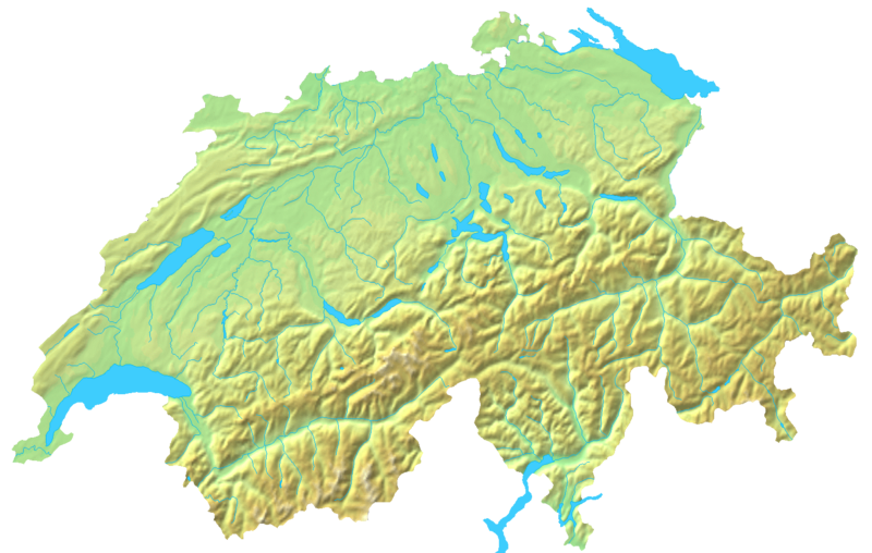
預覽大小:800 × 508 像素。 其他解析度:320 × 203 像素 | 640 × 407 像素 | 1,024 × 651 像素 | 1,508 × 958 像素。
原始檔案 (1,508 × 958 像素,檔案大小:1.74 MB,MIME 類型:image/png)
說明
說明
添加單行說明來描述出檔案所代表的內容
摘要
[編輯]
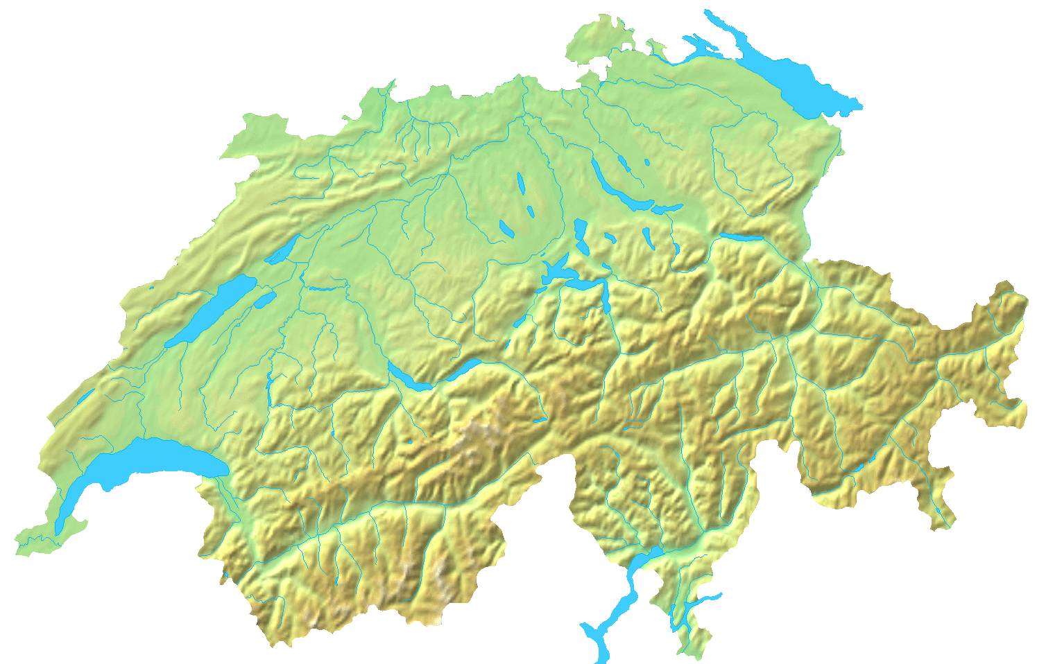
| 描述 | Blanc topographic Map of Switzerland / Relief-Karte der Schweiz (blanko) |
| 日期 | |
| 來源 | Map created from DEMIS Mapserver, which are public domain. |
| 作者 | User:Numerus Klausus / de:Benutzer:Lirum Larum |
| 其他版本 | Derivative works of this file: Topographic map of Battle of Winterthur 1799.png |
授權條款
[編輯]
| 我,此作品的版權所有人,釋出此作品至公共領域。此授權條款在全世界均適用。 這可能在某些國家不合法,如果是的話: 我授予任何人有權利使用此作品於任何用途,除受法律約束外,不受任何限制。 |
檔案歷史
點選日期/時間以檢視該時間的檔案版本。
| 日期/時間 | 縮圖 | 尺寸 | 用戶 | 備註 | |
|---|---|---|---|---|---|
| 目前 | 2007年4月16日 (一) 19:05 | | 1,508 × 958(1.74 MB) | Numerus Klausus(對話 | 貢獻) | {{Information |Description=Blanc topographic Map of Switzerland / Relief-Karte der Schweiz (blanko) |Source= Map created from [http://www2.demis.nl/mapserver/mapper.asp DEMIS Mapserver], which are public domain. |Date= 2007 |Author= [[User:Numerus Klausus |
無法覆蓋此檔案。
檔案用途
下列2個頁面有用到此檔案:
全域檔案使用狀況
以下其他 wiki 使用了這個檔案:
- en.wikipedia.org 的使用狀況
- fr.wikipedia.org 的使用狀況
- uk.wikipedia.org 的使用狀況
- zh.wikipedia.org 的使用狀況