File:Synod of the Trinity map.svg
Aller à la navigation
Aller à la recherche

Taille de cet aperçu PNG pour ce fichier SVG : 130 × 130 pixels. Autres résolutions : 240 × 240 pixels | 480 × 480 pixels | 768 × 768 pixels | 1 024 × 1 024 pixels | 2 048 × 2 048 pixels.
Fichier d’origine (Fichier SVG, nominalement de 130 × 130 pixels, taille : 69 kio)
Légendes
Légendes
Ajoutez en une ligne la description de ce que représente ce fichier
Description
[modifier]
| Description |
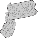
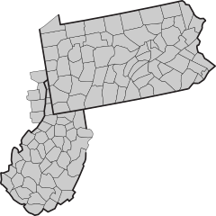
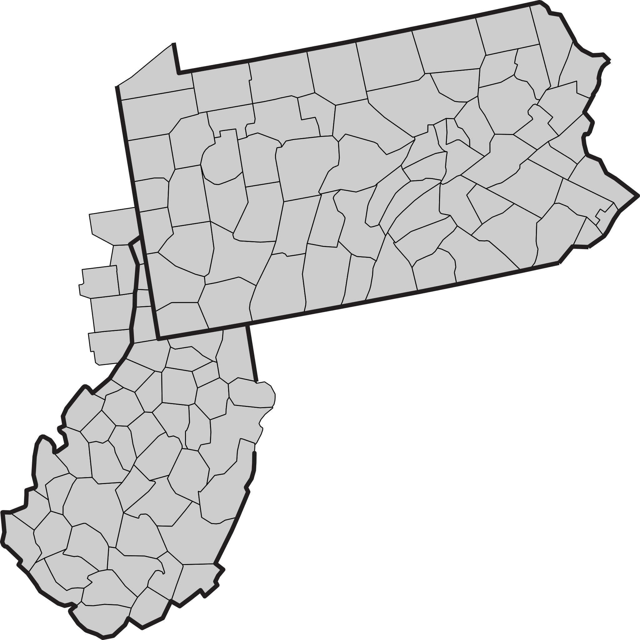
English: Map showing counties within the Synod of the Trinity. |
||
| Date | (UTC) | ||
| Source | |||
| Auteur |
|
||
| SVG information | Le code de ce fichier SVG n'est pas valide en raison de 126 erreurs.
|
Conditions d’utilisation
[modifier]
This image or file is a work of a United States Census Bureau employee, taken or made as part of that person's official duties. As a work of the U.S. federal government, the image is in the public domain.
|
 |
Journal des téléversements d’origine
[modifier]
This image is a derivative work of the following images:
- File:Usa_counties_large.svg licensed with PD-USGov-DOC-Census
- 2010-02-07T00:27:18Z Abe.suleiman 990x627 (1727952 Bytes) {{Information |Description={{en|This is a map of the [[United States]] showing the borders of states and counties in high detail.}} |Source=*[[:File:USA_Counties.svg|]] |Date=2010-02-07 00:19 (UTC) |Author=*[[:File:USA_Counti
Téléversé avec derivativeFX
Historique du fichier
Cliquer sur une date et heure pour voir le fichier tel qu'il était à ce moment-là.
| Date et heure | Vignette | Dimensions | Utilisateur | Commentaire | |
|---|---|---|---|---|---|
| actuel | 20 avril 2011 à 03:04 | | 130 × 130 (69 kio) | GrapedApe (d | contributions) | {{Information |Description={{en|Map showing counties within the {{w|Synod of the Trinity}}.}} |Source=*File:Usa_counties_large.svg |Date=2011-04-20 03:03 (UTC) |Author=*File:Usa_counties_large.svg: *USA_Counties.svg: |
Vous ne pouvez pas remplacer ce fichier.
Utilisations locales du fichier
Aucune page n’utilise ce fichier.