File:Taiwan Vietnam Locator.svg
Перейти к навигации
Перейти к поиску

Размер этого PNG-превью для исходного SVG-файла: 800 × 353 пкс. Другие разрешения: 320 × 141 пкс | 640 × 283 пкс | 1024 × 452 пкс | 1280 × 565 пкс | 2560 × 1130 пкс | 940 × 415 пкс.
Исходный файл (SVG-файл, номинально 940 × 415 пкс, размер файла: 1,66 МБ)
Краткие подписи
Краткие подписи
Добавьте однострочное описание того, что собой представляет этот файл
Краткое описание
[править]
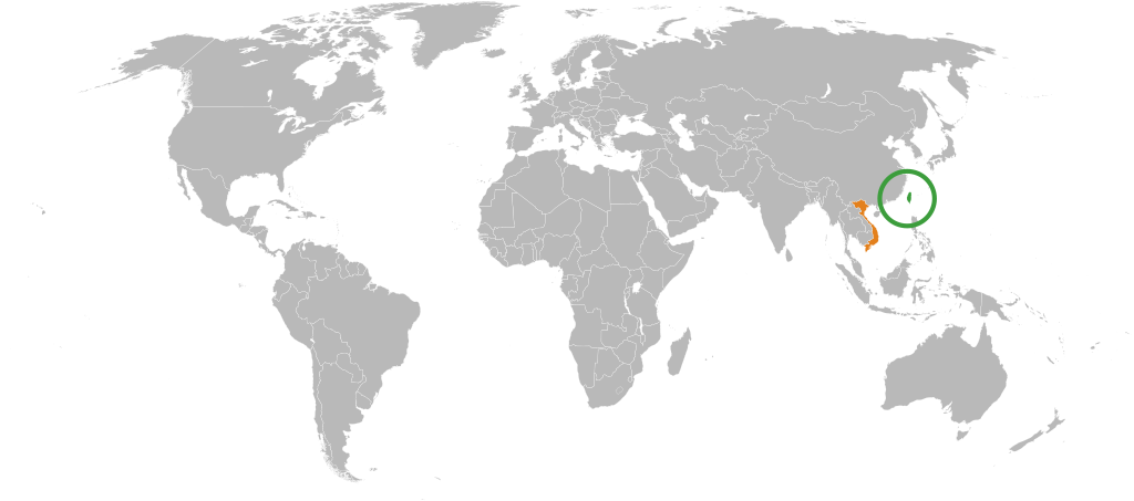
| Описание | Detailed SVG map with grouping enabled to connect all non-contiguous parts of a country's territory for easy colouring. Smaller countries can also be represented by larger circles to show their data easier. A thorough description of use and other instructions can be found on the instruction page for the non-compact map. This is a more compact version of BlankMap-World6.svg where Antarctica has been removed. Please make any updates primarily to the other map since this one should be kept as identical to the original as possible. |
| Дата | (UTC) |
| Источник |
Этот файл является производной работой от: BlankMap-World6, compact.svg: |
| Автор |
|
| Это отретушированное изображение, что означает, что первоначальной версия изображения была изменена цифровым способом. Изменения: Colored Taiwan and Vietnam.. Оригинал доступен по ссылке: BlankMap-World6, compact.svg:
|
Лицензирование
[править]
Этот файл доступен по лицензии Creative Commons Attribution 3.0 Unported
- Вы можете свободно:
- делиться произведением – копировать, распространять и передавать данное произведение
- создавать производные – переделывать данное произведение
- При соблюдении следующих условий:
- атрибуция – Вы должны указать авторство, предоставить ссылку на лицензию и указать, внёс ли автор какие-либо изменения. Это можно сделать любым разумным способом, но не создавая впечатление, что лицензиат поддерживает вас или использование вами данного произведения.
Исходный журнал загрузок
[править]
This image is a derivative work of the following images:
- File:BlankMap-World6,_compact.svg licensed with PD-self
- 2012-08-25T19:32:02Z Kpengboy 940x415 (1518021 Bytes) Reverted to version as of 16:35, 13 February 2012 (there's a reason the code wasn't "optimised". re-add transparency if you think it's better)
- 2012-04-17T20:57:52Z Fred the Oyster 940x415 (837212 Bytes) Corrected my faux pas with the upper and lower margins
- 2012-04-17T20:13:20Z Fred the Oyster 940x490 (837200 Bytes) Optimise code, re-introduce transparency
- 2012-02-13T16:35:10Z Smurfy 940x415 (1518021 Bytes) South Sudan assigned proper country code ss
- 2011-07-21T10:51:07Z EmilJ 940x415 (1518021 Bytes) fix position of Marshall Islands, per [[File talk:BlankMap-World6.svg#Marshall Islands]]
- 2011-07-09T19:55:11Z Smurfy 940x415 (1517991 Bytes) Reverted to version as of 17:18, 9 July 2011
- 2011-07-09T19:54:56Z Smurfy 940x415 (1517991 Bytes) No changes, just attempting to make thumbnails update
- 2011-07-09T17:18:56Z Smurfy 940x415 (1517991 Bytes) Added South Sudan with code "qx" as per BlankMap-World6.svg
- 2010-05-24T23:02:45Z Saftorangen 940x415 (1515385 Bytes) To match the original map: "Grey move : B9B9B9 to E0E0E0 according to wikipedia convention." See the [[:commons:File_talk:BlankMap-World6.svg#Color_update_need|file talk of BlankMap-World6.svg]].
- 2009-10-12T06:40:51Z Fibonacci 940x415 (1515385 Bytes) Same fixes as for the full map.
- 2008-12-02T18:21:18Z Lokal Profil 940x415 (1518276 Bytes) Reverted to version as of 14:51, 13 June 2008, new image has non of the complexity (i.e. colouring abilities etc.) of the old
- 2008-12-02T17:29:39Z Harbin 1326x601 (176022 Bytes)
- 2008-12-02T17:26:08Z Harbin 1425x625 (189017 Bytes)
- 2008-06-13T14:51:25Z Lokal Profil 940x415 (1518276 Bytes) Syncing with [[:Image:BlankMap-World6.svg]] version (01:30, March 29, 2008). Sadly enough the validator does not seem to like rdf element of the metadata although it should work acording to http://www.w3schools.com/rdf/rdf_ma
- 2008-02-08T20:55:35Z CarolSpears 940x415 (1528750 Bytes) validated, maybe
- 2007-12-14T19:51:17Z Lokal Profil 940x415 (1529675 Bytes) Readded an ocean object but this one is square instead of the original elliptic one
- 2007-12-14T19:19:56Z Lokal Profil 940x415 (1529845 Bytes) {{Information |Description=Detailed SVG map with grouping enabled to connect all non-contiguous parts of a country's territory for easy colouring. Smaller countries can also be represented by larger circles to show their data
Uploaded with derivativeFX
История файла
Нажмите на дату/время, чтобы увидеть версию файла от того времени.
| Дата/время | Миниатюра | Размеры | Участник | Примечание | |
|---|---|---|---|---|---|
| текущий | 16:37, 8 октября 2012 | | 940 × 415 (1,66 МБ) | A900040a900040 (обсуждение | вклад) | == {{int:filedesc}} == {{Information |Description=Detailed SVG map with grouping enabled to connect all non-contiguous parts of a country's territory for easy colouring. Smaller countries can also be represented by larger circles to show their data eas... |
Вы не можете перезаписать этот файл.
Использование файла
Следующая страница использует этот файл:
Глобальное использование файла
Данный файл используется в следующих вики:
- Использование в ar.wikipedia.org
- Использование в en.wikipedia.org
- Использование в ru.wikipedia.org
- Использование в vi.wikipedia.org
- Использование в www.wikidata.org
- Использование в zh.wikipedia.org