File:Thailand Chanthaburi location map.svg
跳去導覽
跳去搵嘢

呢個「SVG」檔案嘅呢個「PNG」預覽嘅大細:530 × 599 像素。 第啲解像度:212 × 240 像素 | 424 × 480 像素 | 679 × 768 像素 | 905 × 1,024 像素 | 1,811 × 2,048 像素 | 565 × 639 像素。
原本檔案 (SVG檔案,表面大細: 565 × 639 像素,檔案大細:515 KB)
Captions
Captions
Add a one-line explanation of what this file represents
Chanthaburi Province
摘要
[編輯]
| 描述 |
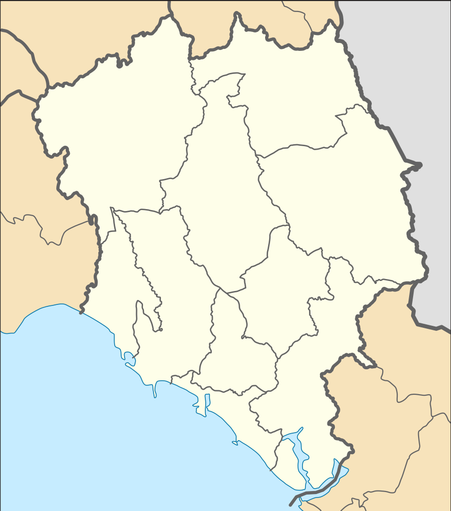
English: Location Map of Chanthaburi Province
N: 13.380° N S: 12.265° N W: 101.564° E E: 102.607° Eไทย: แผนที่สำหรับระบุตำแหน่งในจังหวัดจันทบุรี |
| 日期 | |
| 來源 |
This W3C-unspecified vector image was created with Inkscape . This vector image includes elements that have been taken or adapted from this file: |
| 作者 |
Hdamm for the original map ZeroSixTwo for recolouring |
協議
[編輯]
呢個檔案用共享創意 姓名標示-非商業性-相同方式分享3.0 未本地化版本條款授權。
- 你可以:
- 去分享 – 複製、發佈同傳播呢個作品
- 再改 – 創作演繹作品
- 要遵照下面嘅條件:
- 署名 – 你一定要畀合適嘅表彰、畀返指向呢個授權條款嘅連結,同埋寫明有無改過嚟。你可以用任何合理方式去做,但唔可以用任何方式暗示授權人認可咗你或者你嘅使用方式。
- 相同方式分享 – 如果你用任何方式改過呢個作品,你必須要用返原本或者相似嘅條款發佈。
檔案歷史
撳個日期/時間去睇響嗰個時間出現過嘅檔案。
| 日期/時間 | 縮圖 | 尺寸 | 用戶 | 註解 | |
|---|---|---|---|---|---|
| 現時 | 2020年4月25號 (六) 19:04 | | 565 × 639(515 KB) | ZeroSixTwo(傾偈 | 貢獻) | Uploaded a work by Hdamm for the original map<br>ZeroSixTwo for recolouring from {{Created with Inkscape}} {{AttribSVG|Amphoe Chanthaburi.svg|Hdamm}} with UploadWizard |
你無得衾咗個檔案。
檔案用途
無頁面用到呢個檔案。
全域檔案使用情況
下面嘅維基都用緊呢個檔案:
- fr.wikipedia.org嘅使用情況
- id.wikipedia.org嘅使用情況
- th.wikipedia.org嘅使用情況
- รายชื่อโรงเรียนในจังหวัดจันทบุรี
- เทศบาลเมืองจันทบุรี
- สนามบินจันทบุรี
- เทศบาลเมืองท่าช้าง
- มอดูล:Location map/data/Thailand Chanthaburi
- เทศบาลเมืองท่าใหม่
- เทศบาลเมืองขลุง
- เทศบาลเมืองจันทนิมิต
- มอดูล:Location map/data/Thailand Chanthaburi/doc
- เขื่อนบ้านพลวง
- เขื่อนทุ่งเพล
- เขื่อนคิรีธาร
- เทศบาลตำบลสอยดาว
- เทศบาลตำบลหนองบัว (จังหวัดจันทบุรี)
- พิพิธภัณฑสถานแห่งชาติ พาณิชย์นาวี
- สถานแสดงพันธุ์สัตว์น้ำเฉลิมพระเกียรติ 6 รอบ พระชนมพรรษา