File:USACE Lower Monumental Dam.jpg
Aller à la navigation
Aller à la recherche

Taille de cet aperçu : 800 × 561 pixels. Autres résolutions : 320 × 224 pixels | 640 × 448 pixels | 1 024 × 717 pixels | 1 280 × 897 pixels | 1 500 × 1 051 pixels.
Fichier d’origine (1 500 × 1 051 pixels, taille du fichier : 536 kio, type MIME : image/jpeg)
Légendes
Légendes
Ajoutez en une ligne la description de ce que représente ce fichier
| Description |
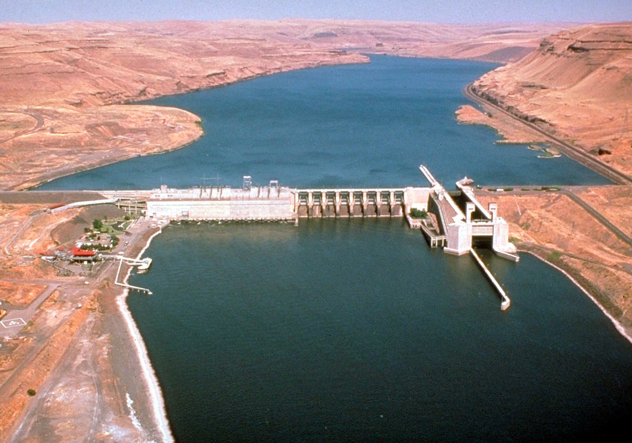
English: Lower Monumental Lock and Dam on the Snake River, Washington, USA. The river is the border between Franklin County to the north (left) and Walla Walla County (right). View is upriver to the northeast. |
|||
| Date | ||||
| Source |
U.S. Army Corps of Engineers Digital Visual Library Image page Image description page Digital Visual Library home page |
|||
| Auteur | U.S. Army Corps of Engineers, photographer not specified or unknown | |||
| Autorisation (Réutilisation de ce fichier) |
|
| Lieu de la prise de vue | | Voir cet endroit et d’autres images sur : OpenStreetMap |
|---|
Historique du fichier
Cliquer sur une date et heure pour voir le fichier tel qu'il était à ce moment-là.
| Date et heure | Vignette | Dimensions | Utilisateur | Commentaire | |
|---|---|---|---|---|---|
| actuel | 1 avril 2007 à 21:27 | | 1 500 × 1 051 (536 kio) | DanMS (d | contributions) | {{Information | Description = {{en|Lower Monumental Lock and Dam on the Snake River, Washington, USA. View is upriver to the northeast.}} | Source = U.S. Army Corps of Engineers Digital Visual Library<br />[http://images.usace.army.mil/images/H |
Vous ne pouvez pas remplacer ce fichier.
Utilisations locales du fichier
La page suivante utilise ce fichier :
Utilisations du fichier sur d’autres wikis
Les autres wikis suivants utilisent ce fichier :
- Utilisation sur ceb.wikipedia.org
- Utilisation sur de.wikipedia.org
- Utilisation sur en.wikipedia.org
- Utilisation sur es.wikipedia.org
- Utilisation sur fr.wikipedia.org
- Utilisation sur no.wikipedia.org
- Utilisation sur pt.wikipedia.org
- Utilisation sur ru.wikipedia.org
- Utilisation sur uk.wikipedia.org
- Utilisation sur www.wikidata.org