File:USACE Lucky Peak Dam Idaho.jpg
Aller à la navigation
Aller à la recherche

Taille de cet aperçu : 800 × 527 pixels. Autres résolutions : 320 × 211 pixels | 640 × 422 pixels | 1 024 × 675 pixels | 1 500 × 989 pixels.
Fichier d’origine (1 500 × 989 pixels, taille du fichier : 480 kio, type MIME : image/jpeg)
Légendes
Légendes
Ajoutez en une ligne la description de ce que représente ce fichier
| Description |
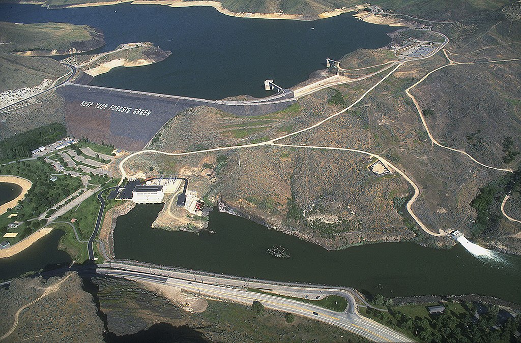
English: Lucky Peak Dam on the Boise River, about 10 miles southeast of Boise, Idaho, USA. |
|||
| Lieu | Boise, Idaho, USA 43°31′41.7″N 116°3′13.91″W / 43.52825°N 116.0538639°W |
|||
| Date | ||||
| Source |
U.S. Army Corp of Engineers Digital Visual Library Digital Visual Library home page Image page Image description page |
|||
| Auteur | Bob Heims, U.S. Army Corps of Engineers | |||
| Autorisation (Réutilisation de ce fichier) |
|
Historique du fichier
Cliquer sur une date et heure pour voir le fichier tel qu'il était à ce moment-là.
| Date et heure | Vignette | Dimensions | Utilisateur | Commentaire | |
|---|---|---|---|---|---|
| actuel | 17 mars 2007 à 00:35 | | 1 500 × 989 (480 kio) | DanMS (d | contributions) | {{Information | Description = Lucky Peak Dam on the Boise River, about 10 miles southeast of Boise, Idaho, USA. | Source = U.S. Army Corp of Engineers Digital Visual Library<br />[http://images.usace.army.mil/Main.html Digital Visual Library home pag |
Vous ne pouvez pas remplacer ce fichier.
Utilisations locales du fichier
Les 2 pages suivantes utilisent ce fichier :
Utilisations du fichier sur d’autres wikis
Les autres wikis suivants utilisent ce fichier :
- Utilisation sur ceb.wikipedia.org
- Utilisation sur de.wikipedia.org
- Utilisation sur en.wikipedia.org
- Utilisation sur es.wikipedia.org
- Utilisation sur fi.wikipedia.org
- Utilisation sur fr.wikipedia.org
- Utilisation sur uk.wikipedia.org
- Utilisation sur www.wikidata.org