File:USA blank.svg
ナビゲーションに移動
検索に移動

この SVG ファイルのこの PNG プレビューのサイズ: 800 × 368 ピクセル. その他の解像度: 320 × 147 ピクセル | 640 × 294 ピクセル | 1,024 × 470 ピクセル | 1,280 × 588 ピクセル | 2,560 × 1,176 ピクセル | 1,850 × 850 ピクセル。
元のファイル (SVG ファイル、1,850 × 850 ピクセル、ファイルサイズ: 105キロバイト)
キャプション
キャプション
このファイルの内容を1行で記述してください
| 解説 |
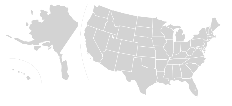
English: Blank SVG map of USA. Alaska and Hawaii have been moved closer to the mainland USA to reduce width of image.
Non-contiguous parts of a states/provinces are "grouped" together with the main area of the state/provinces, so any state/provinces can be coloured in completion with one click anywhere on the state/provinces's area. Also, all states/provinces have a "id" attached to them, making them easy to find. Select "find" and then enter in the state/provinces's ISO 3166-2 code in the "id" field to find it. The codes can be found here (Canada) and here (USA). |
| 日付 | 03-07-2007 edited 8-Aug-2007 |
| 原典 |
|
| 作者 |
Lokal_Profil's image edited to remove Canada and move Alaska and Hawaii closer by Avenue. Original version by |
| 許可 (ファイルの再利用) |
このファイルはクリエイティブ・コモンズ 表示-継承 2.5 一般ライセンスのもとに利用を許諾されています。
|
| その他のバージョン |
Blank US Map.svg similar map with inset versions of Alaska and Hawaii (as opposed to actual size, which is what appears here), Labelled US map.svg same map with state labels Original blank map of USA and Canada, That image with labels, Original USA/Canada with Hawaii at the natural distance, Original USA/Canada map with labels, Canada blank map.svg blank map of Canada, Canada labelled map.svg labelled map of Canada |
| 注釈 | この画像には注釈がついています: コモンズで注釈を見る |
ファイルの履歴
過去の版のファイルを表示するには、その版の日時をクリックしてください。
| 日付と時刻 | サムネイル | 寸法 | 利用者 | コメント | |
|---|---|---|---|---|---|
| 現在の版 | 2008年12月30日 (火) 07:40 | | 1,850 × 850 (105キロバイト) | Avenue (トーク | 投稿記録) | without white space |
| 2008年12月30日 (火) 07:32 |  | 2,289 × 1,744 (104キロバイト) | Avenue (トーク | 投稿記録) | New version that keeps Alaskan islands in the right place relative to the mainland | |
| 2007年8月9日 (木) 16:42 |  | 1,730 × 800 (106キロバイト) | Rfc1394 (トーク | 投稿記録) | {{Information |Description={{en|Blank SVG map of USA. Hawaii has been moved closer to the mainland USA to reduce width of image.}} Non-contiguous parts of a states/provinces are "grouped" together with the main area of the state/provinces, so any state/pr |
このファイルは上書きできません。
ファイルの使用状況
以下の 7 ページがこのファイルを使用しています:
.svg)
.svg)
グローバルなファイル使用状況
以下に挙げる他のウィキがこの画像を使っています:
- en.wikipedia.org での使用状況
- Talk:Bill Clinton
- Talk:Ronald Reagan
- Talk:Spiro Agnew
- Talk:Strom Thurmond
- Talk:John Hancock
- Talk:John Ashcroft
- Talk:Martin Van Buren
- Talk:Patrick Henry
- Talk:John Engler
- Talk:James Monroe
- Talk:Nelson Rockefeller
- Talk:Thomas E. Dewey
- Talk:Tom Vilsack
- Talk:Terry Branstad
- Talk:Thomas Jefferson
- Talk:Alf Landon
- Talk:Tom McCall
- Talk:Jesse Ventura
- Talk:Nellie Tayloe Ross
- Talk:Charles Pinckney (governor)
- Talk:John Rutledge
- Talk:Bruce Babbitt
- Talk:Salmon P. Chase
- Talk:DeWitt Clinton
- Talk:Gaylord Nelson
- Talk:Sam Houston
- Talk:List of governors of Mississippi
- Talk:P. B. S. Pinchback
- Talk:Benjamin Franklin
- Talk:2003 California gubernatorial recall election
- Talk:2004 Washington gubernatorial election
- Talk:Lamar Alexander
- Talk:George Clinton (vice president)
- Talk:Bill Janklow
- Talk:Howard Dean
- Talk:Roswell K. Colcord
- Talk:Tim Pawlenty
- Talk:Gary Johnson
- Talk:Earl Warren
- Talk:List of governors of California
- Talk:List of governors of Alabama
- Talk:Brigham Young
- Talk:James Bowdoin
- Talk:Joshua Chamberlain
- Talk:Joseph Ritner
- Talk:Judy Martz
- Talk:Jerry Brown
- Talk:Sid McMath
- Talk:Pat Brown
- Talk:Leland Stanford
このファイルのグローバル使用状況を表示する。