File:Victoria locator-MJC.png
跳转到导航
跳转到搜索
没有更高的分辨率。
Victoria_locator-MJC.png (563 × 476像素,文件大小:12 KB,MIME类型:image/png)
说明
说明
添加一行文字以描述该文件所表现的内容

|
此locator map图片可使用矢量图形重新创建为SVG文件。这具有很多好处;更多信息请参见共享资源:待清理媒体。如果存在此图片的SVG格式,请将其上传,然后将此模板替换为
{{vector version available|新图片名称}}。
建议您将SVG命名为“Victoria locator-MJC.svg”,这样在使用Vector version available(或Vva)模板时就不需要填写新图片名称参数。 |
摘要
[编辑]
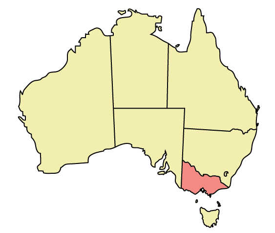
Map of Australia highlighting Victoria
Made in Adobe Illustrator by Martynam and released under the GFDL
许可协议
[编辑]
| 本文件采用知识共享署名-相同方式共享 3.0 未本地化版本许可协议授权。 受免責聲明的約束。 | ||
| ||
| 本许可协议标签作为GFDL许可协议更新的组成部分被添加至本文件。 |

|
已授权您依据自由软件基金会发行的无固定段落及封面封底文字(Invariant Sections, Front-Cover Texts, and Back-Cover Texts)的GNU自由文件许可协议1.2版或任意后续版本的条款,复制、传播和/或修改本文件。该协议的副本请见“GNU Free Documentation License”。 受免責聲明的約束。 |
文件历史
点击某个日期/时间查看对应时刻的文件。
| 日期/时间 | 缩略图 | 大小 | 用户 | 备注 | |
|---|---|---|---|---|---|
| 当前 | 2005年12月30日 (五) 22:49 | | 563 × 476(12 KB) | Snowdog(留言 | 贡献) | Map of Australia highlighting Victoria Made in Adobe Illustrator by Martynam and released under the GFDL Category:Maps of Australia |
您不可以覆盖此文件。
文件用途
以下4个页面使用本文件:
全域文件用途
以下其他wiki使用此文件:
- af.wikipedia.org上的用途
- ar.wikipedia.org上的用途
- be.wikipedia.org上的用途
- ckb.wikipedia.org上的用途
- cs.wikipedia.org上的用途
- cy.wikipedia.org上的用途
- de.wikipedia.org上的用途
- en.wikipedia.org上的用途
- City of Maroondah
- Hobsons Bay
- Paisley railway station, Melbourne
- Galvin railway station
- Williamstown Pier railway station
- Chum Creek, Victoria
- Don Valley, Victoria
- Gruyere, Victoria
- Kalorama, Victoria
- Launching Place, Victoria
- Macclesfield, Victoria
- Menzies Creek, Victoria
- Seville, Victoria
- Seville East, Victoria
- Sherbrooke, Victoria
- Tremont, Victoria
- Yellingbo, Victoria
- Cranbourne South, Victoria
- Narre Warren East, Victoria
- Warneet, Victoria
- Dandenong North, Victoria
- Dandenong South, Victoria
- Noble Park North, Victoria
- Skye, Victoria
- Blairgowrie, Victoria
- Boneo, Victoria
- Main Ridge, Victoria
- Merricks North, Victoria
- Red Hill, Victoria
- Red Hill South, Victoria
- Capel Sound, Victoria
- Simpson Barracks
- Yallambie
- Attwood, Victoria
- Coolaroo, Victoria
- Oaklands Junction, Victoria
- Somerton, Victoria
- Burnside, Victoria
- Hillside, Victoria
- Kurunjang
- Rockbank, Victoria
- Ardeer, Victoria
- Calder Park, Victoria
查看此文件的更多全域用途。