File:Vinnitsa province location map.svg
Aller à la navigation
Aller à la recherche

Taille de cet aperçu PNG pour ce fichier SVG : 533 × 562 pixels. Autres résolutions : 228 × 240 pixels | 455 × 480 pixels | 728 × 768 pixels | 971 × 1 024 pixels | 1 942 × 2 048 pixels.
Fichier d’origine (Fichier SVG, nominalement de 533 × 562 pixels, taille : 132 kio)
Légendes
Légendes
Ajoutez en une ligne la description de ce que représente ce fichier
Description[modifier]
| Description |
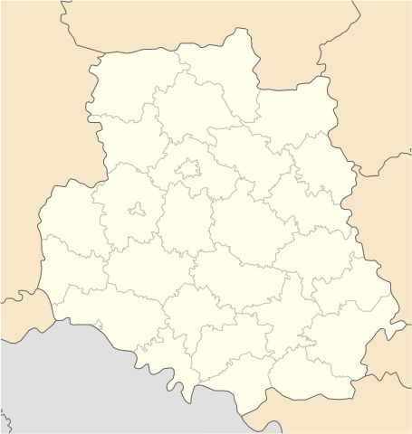
English: Location map of Vinnytsa province, Ukraine
Русский: Позиционная карта Винницкой области, Украина
Українська: Карта Вінницької області, Україна |
| Source | Travail personnel |
| Auteur | Urutseg |
Conditions d’utilisation[modifier]
| Moi, propriétaire des droits d’auteur sur cette œuvre, la place dans le domaine public. Ceci s'applique dans le monde entier. Dans certains pays, ceci peut ne pas être possible ; dans ce cas : J’accorde à toute personne le droit d’utiliser cette œuvre dans n’importe quel but, sans aucune condition, sauf celles requises par la loi. |
Historique du fichier
Cliquer sur une date et heure pour voir le fichier tel qu'il était à ce moment-là.
| Date et heure | Vignette | Dimensions | Utilisateur | Commentaire | |
|---|---|---|---|---|---|
| actuel | 28 juin 2014 à 09:15 | | 533 × 562 (132 kio) | ערן (d | contributions) | lighter borders between provinces |
| 1 décembre 2010 à 11:30 |  | 533 × 562 (132 kio) | Urutseg (d | contributions) | {{Information |Description={{en|1=Location map of Vinnytsa province, Ukraine}} {{ru|1=Позиционная карта Винницкой области, Украина}} |Source={{own}} |Author=Urutseg |Date= |Permission= |other_version |
Vous ne pouvez pas remplacer ce fichier.
Utilisations locales du fichier
Les 16 pages suivantes utilisent ce fichier :
- Category:Architecture in Vinnytsia Oblast
- Category:Births in Vinnytsia Oblast
- Category:Bodies of water in Vinnytsia Oblast
- Category:Deaths in Vinnytsia Oblast
- Category:Geography of Vinnytsia Oblast
- Category:History of Vinnytsia Oblast
- Category:Lakes in Vinnytsia Oblast
- Category:Maps of Vinnytsia Oblast
- Category:Populated places in Vinnytsia Oblast
- Category:Raions of Vinnytsia Oblast
- Category:Religion in Vinnytsia Oblast
- Category:Rural settlements in Vinnytsia Oblast
- Category:Sports in Vinnytsia Oblast
- Category:Stadiums in Vinnytsia Oblast
- Category:Villages in Vinnytsia Oblast
- Category:Vinnytsia Oblast
Utilisations du fichier sur d’autres wikis
Les autres wikis suivants utilisent ce fichier :
- Utilisation sur ar.wikipedia.org
- Utilisation sur az.wikipedia.org
- Utilisation sur ba.wikipedia.org
- Utilisation sur be.wikipedia.org
- Вінніцкая вобласць
- Брацлаў
- Жмэрынка
- Магілёў-Падольскі
- Крыжопіль
- Гайсын
- Хмільнык
- Ямпіль
- Шаргарад
- Турбіў
- Нава Прылука
- Стара Прылука
- Брыцькэ
- Вахніўка
- Чупрыніўка
- Шаблон:На карце/Украіна Вінніцкая вобласць
- Кабыльня
- Ладыжын (горад)
- Бар (Украіна)
- Тульчын
- Пагрэбішчэ
- Нэмірыў
- Лыпавэць
- Калыніўка
- Казятын
- Іллінці
- Гнівань
- Ксавэрыўка (пасёлак)
- Лыпавэць (пасёлак)
- Мала Біла
- Пылыпэнкавэ
- Підліснэ (Вінніцкі раён)
- Тэльмана (Лыпавэцкі раён)
- Ясэнэцкэ
- Бэрэсціўка (Лыпавэцкі раён)
- Біла (Вінніцкі раён)
- Білазэрыўка
- Багданіўка (Вінніцкі раён)
- Вэрбіўка (Лыпавэцкі раён)
- Вэрнянка
- Війціўці (Лыпавэцкі раён)
- Вікэнцііўка
- Ганніўка (Лыпавэцкі раён)
- Гардзііўка (Лыпавэцкі раён)
- Журавы (Лыпавэцкі раён)
- Зозіў (Лыпавэцкі раён)
Voir davantage sur l’utilisation globale de ce fichier.