File:Virginia-peninsula.png
跳转到导航
跳转到搜索
本预览的尺寸:717 × 600像素。 其他分辨率:287 × 240像素 | 574 × 480像素 | 1,022 × 855像素。
原始文件 (1,022 × 855像素,文件大小:147 KB,MIME类型:image/png)
说明
说明
添加一行文字以描述该文件所表现的内容
摘要[编辑]
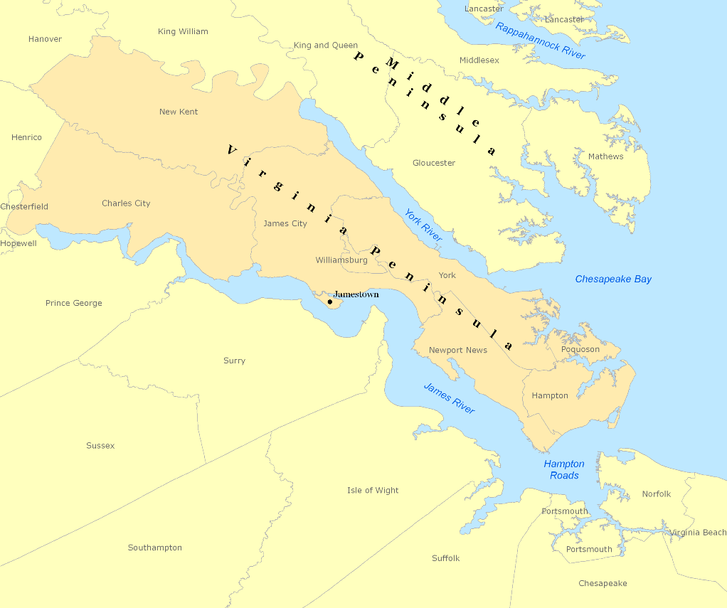
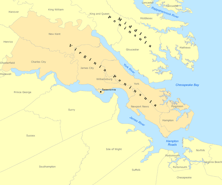
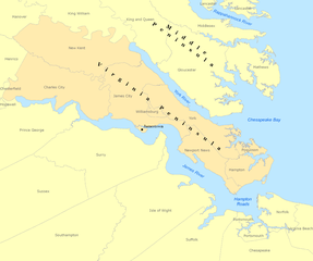
| 描述 | Map of the Virginia Peninsula created with Arcview |
| 日期 | |
| 来源 | ESRI/Teleatlas/GDI |
| 作者 | Andrew Wiseman |
许可协议[编辑]
我,本作品著作权人,特此采用以下许可协议发表本作品:

|
已授权您依据自由软件基金会发行的无固定段落及封面封底文字(Invariant Sections, Front-Cover Texts, and Back-Cover Texts)的GNU自由文件许可协议1.2版或任意后续版本的条款,复制、传播和/或修改本文件。该协议的副本请见“GNU Free Documentation License”。 |
本文件采用知识共享署名 3.0 未本地化版本许可协议授权。
- 您可以自由地:
- 共享 – 复制、发行并传播本作品
- 修改 – 改编作品
- 惟须遵守下列条件:
- 署名 – 您必须对作品进行署名,提供授权条款的链接,并说明是否对原始内容进行了更改。您可以用任何合理的方式来署名,但不得以任何方式表明许可人认可您或您的使用。
您可以选择您需要的许可协议。
文件历史
点击某个日期/时间查看对应时刻的文件。
| 日期/时间 | 缩略图 | 大小 | 用户 | 备注 | |
|---|---|---|---|---|---|
| 当前 | 2008年3月7日 (五) 15:41 | | 1,022 × 855(147 KB) | Awiseman(留言 | 贡献) | {{Information |Description=Map of the Virginia Peninsula created with Arcview |Source=ESRI/Teleatlas/GDI |Date=3-7-08 |Author=Andrew Wiseman |Permission= |other_versions= }} |
您不可以覆盖此文件。
文件用途
没有页面使用本文件。
全域文件用途
以下其他wiki使用此文件:
- az.wikipedia.org上的用途
- da.wikipedia.org上的用途
- de.wikipedia.org上的用途
- en.wikipedia.org上的用途
- es.wikipedia.org上的用途
- fr.wikipedia.org上的用途
- fy.wikipedia.org上的用途
- it.wikipedia.org上的用途
- ja.wikipedia.org上的用途
- ko.wikipedia.org上的用途
- no.wikipedia.org上的用途
- ru.wikipedia.org上的用途
- simple.wikipedia.org上的用途
- www.wikidata.org上的用途
- zh.wikipedia.org上的用途