File:Vivo Limpopo SouthAfrica June2009.jpg
跳转到导航
跳转到搜索

本预览的尺寸:800 × 600像素。 其他分辨率:320 × 240像素 | 640 × 480像素 | 1,024 × 768像素 | 1,280 × 960像素 | 2,560 × 1,920像素 | 3,264 × 2,448像素。
原始文件 (3,264 × 2,448像素,文件大小:1.34 MB,MIME类型:image/jpeg)
说明
说明
添加一行文字以描述该文件所表现的内容
摘要
[编辑]
| 相机位置 | | 在以下服务上查看本图像和附近其他图像: OpenStreetMap |
|---|
| 描述 |
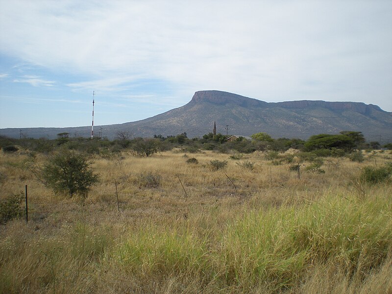
Afrikaans: Die westelike hoogte van die Soutpansberg (1649 m), soos vanaf Vivo gesien
English: Church steeple in Vivo, Limpopo Province, South Africa. Photograph taken from the road to Schiermonnikoog around noon, Sunday 7 June 2009, close to the main T-junction at the centre of Vivo. The mountains in the background are the western-most peaks of the Soutpansberg. |
| 日期 | 2009-060-7 |
| 来源 | 自己的作品 |
| 作者 | Petrus Potgieter |
许可协议
[编辑]
| 我,本作品著作权人,释出本作品至公有领域。这适用于全世界。 在一些国家这可能不合法;如果是这样的话,那么: 我无条件地授予任何人以任何目的使用本作品的权利,除非这些条件是法律规定所必需的。 |
文件历史
点击某个日期/时间查看对应时刻的文件。
| 日期/时间 | 缩略图 | 大小 | 用户 | 备注 | |
|---|---|---|---|---|---|
| 当前 | 2009年6月8日 (一) 11:29 | | 3,264 × 2,448(1.34 MB) | Ppotgiet(留言 | 贡献) | {{Information |Description={{en|1=Church steeple in Vivo, Limpopo Province, South Africa. Photograph taken by Petrus Potgieter from the road to Schiermonnikoog around noon on Sunday 7 June 2009, close to the main T-junction at the centre of Vivo. The moun |
您不可以覆盖此文件。
文件用途
没有页面使用本文件。
全域文件用途
以下其他wiki使用此文件:
- af.wikipedia.org上的用途
- ceb.wikipedia.org上的用途
- en.wikipedia.org上的用途
- fr.wikipedia.org上的用途
- nso.wikipedia.org上的用途
- uk.wikipedia.org上的用途
- ve.wikipedia.org上的用途
- www.wikidata.org上的用途
- zh.wikipedia.org上的用途
- zu.wikipedia.org上的用途