File:WIS 29.svg
跳至導覽
跳至搜尋

此 SVG 檔案的 PNG 預覽的大小:384 × 384 像素。 其他解析度:240 × 240 像素 | 480 × 480 像素 | 768 × 768 像素 | 1,024 × 1,024 像素 | 2,048 × 2,048 像素。
原始檔案 (SVG 檔案,表面大小:384 × 384 像素,檔案大小:3 KB)
說明
說明
添加單行說明來描述出檔案所代表的內容
This file is in the public domain because it comes from the Wisconsin Manual on Uniform Traffic Control Devices Supplement to the Manual on Uniform Traffic Control Devices, sign number M1-6, which states on p. 2 that:
The federal MUTCD states specifically on its page I-1 that:
No provisions of the supplement modify this provision of the MUTCD. |
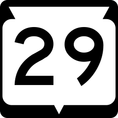
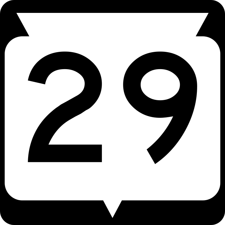
24 in by 24 in (600 mm by 600 mm) Wisconsin State Highway shield, made to the specifications of the sign detail (sign M1-6). Uses the Roadgeek 2005 fonts. (United States law does not permit the copyrighting of typeface designs, and the fonts are meant to be copies of a U.S. Government-produced work anyway.)
檔案歷史
點選日期/時間以檢視該時間的檔案版本。
| 日期/時間 | 縮圖 | 尺寸 | 用戶 | 備註 | |
|---|---|---|---|---|---|
| 目前 | 2007年12月25日 (二) 20:03 | | 384 × 384(3 KB) | Master son(對話 | 貢獻) | one more time to nudge the 30px thumbnail |
| 2007年12月25日 (二) 19:51 |  | 384 × 384(3 KB) | Master son(對話 | 貢獻) | Reloading to fix thumbnailing bug | |
| 2006年7月17日 (一) 22:14 |  | 384 × 384(3 KB) | Master son(對話 | 貢獻) | Attempting to repair 20 pixel size version of the file | |
| 2006年4月21日 (五) 02:43 |  | 384 × 384(3 KB) | SPUI~commonswiki(對話 | 貢獻) | {{spuiother}} {{Wisconsin State Highway}} Category:Wisconsin State Highway shields |
無法覆蓋此檔案。
檔案用途
下列3個頁面有用到此檔案:
全域檔案使用狀況
以下其他 wiki 使用了這個檔案:
- arz.wikipedia.org 的使用狀況
- de.wikipedia.org 的使用狀況
- en.wikipedia.org 的使用狀況
- Interstate 39
- St. Croix County, Wisconsin
- Shawano County, Wisconsin
- Outagamie County, Wisconsin
- Marathon County, Wisconsin
- Kewaunee County, Wisconsin
- Dunn County, Wisconsin
- Clark County, Wisconsin
- Chippewa County, Wisconsin
- Brown County, Wisconsin
- Interstate 43
- Kewaunee, Wisconsin
- Shawano, Wisconsin
- Eau Claire, Wisconsin
- Green Bay, Wisconsin
- Menomonie, Wisconsin
- Wausau, Wisconsin
- U.S. Route 141
- U.S. Route 53
- Lake Hallie, Wisconsin
- Interstate 41
- List of state trunk highways in Wisconsin
- Wisconsin Highway 29
- Wisconsin Highway 54
- Eau Claire–Chippewa Falls metropolitan area
- List of highways numbered 29
- Wisconsin Highway 312
- Wisconsin Highway 35
- Wisconsin Highway 13
- User:Master son/Wisconsin Shields in 20px size
- Wikipedia:WikiProject U.S. Roads/Wisconsin
- Wisconsin Highway 32
- U.S. Route 10 in Wisconsin
- Wisconsin Highway 22
- Wisconsin Highway 25
- Wisconsin Highway 27
- Wikipedia:WikiProject U.S. Roads/Redirects/Wisconsin
- Wisconsin Highway 28
- Wisconsin Highway 30
- Wisconsin Highway 40
- Wisconsin Highway 42
- Wisconsin Highway 47
- Wisconsin Highway 49
- Wisconsin Highway 52
- Wisconsin Highway 55
- Wisconsin Highway 57
檢視此檔案的更多全域使用狀況。