File:Yangtze River Delta.gif
Siirry navigaatioon
Siirry hakuun
Tämän esikatselun koko: 489 × 600 kuvapistettä. Muut resoluutiot: 196 × 240 kuvapistettä | 391 × 480 kuvapistettä | 891 × 1 093 kuvapistettä.
Alkuperäinen tiedosto (891 × 1 093 kuvapistettä, 37 KiB, MIME-tyyppi: image/gif)
Kuvatekstit
Kuvatekstit
Lisää yhden rivin pituinen kuvaus tästä tiedostosta
Yhteenveto[muokkaa]
| Kuvaus |
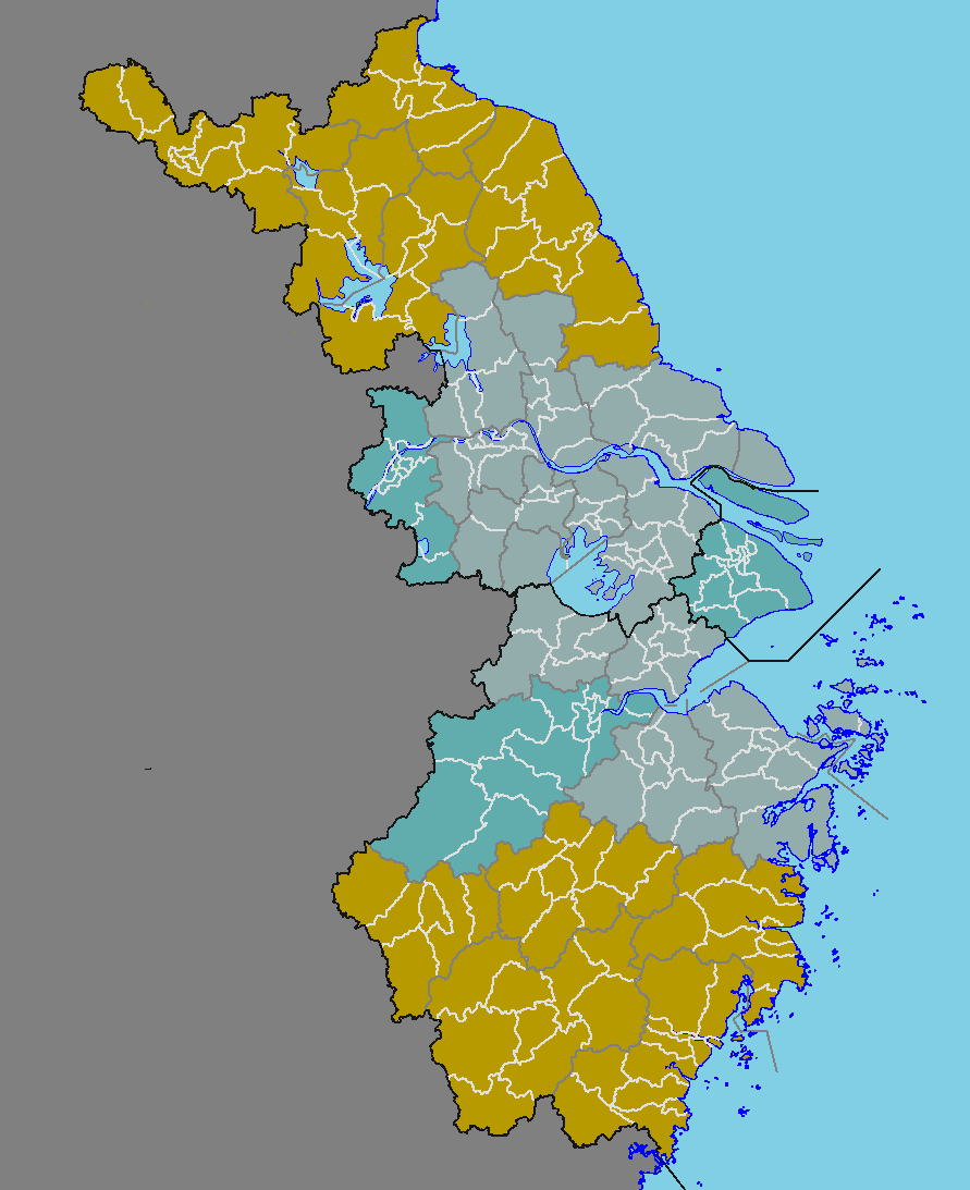
English: map of the Yangtze River, China
中文(中国大陆):长江三角洲地图 |
| Päiväys |
English: File uploaded: August 3, 2022
English: Original uploaded: June 2, 2009 |
| Lähde | File:China prefectural-level divisions and administrative divisions (PRoC claim).png |
| Tekijä |
|
.png)
Lisenssi[muokkaa]
Minä, tämän teoksen tekijänoikeuksien haltija, julkaisen täten tämän teoksen seuraavilla lisensseillä:

|
Voit kopioida, levittää ja/tai muuttaa tätä asiakirjaa GNU Free Documentation License -lisenssin version 1.2 tai minkä tahansa Free Software Foundationin julkaiseman myöhemmän version ehtojen alaisena; ei koske muuttumattomia kohtia, etukannen tekstejä eikä takakannen tekstejä. Kopio tästä lisenssistä on saatavilla osiossa GNU Free Documentation License. |
| Tämä tiedosto on lisensoitu Creative Commons Nimeä-JaaSamoin 3.0 Ei sovitettu -lisenssillä. | ||
| ||
| Lisensointimerkintä lisätiin tähän tiedostoon osana GFDL-lisensointipäivitystä. |
| Käyttäjänoikeus: Tämä taiteellinen teos on vapaa; voit levittää ja/tai muokata sitä Free Art License -lisenssin ehdoilla. Lisenssiteksti on saatavilla Copyleft Attitude -sivustolta ja muilta sivustoilta. |
Voit valita haluamasi lisenssin.
| Annotations | This image is annotated: View the annotations at Commons |
Tiedoston historia
Päiväystä napsauttamalla näet, millainen tiedosto oli kyseisellä hetkellä.
| Päiväys | Pienoiskuva | Koko | Käyttäjä | Kommentti | |
|---|---|---|---|---|---|
| nykyinen | 2. elokuuta 2022 kello 23.42 | | 891 × 1 093 (37 KiB) | Maanshen (keskustelu | muokkaukset) | New version as of File:China prefectural-level divisions and administrative divisions (PRoC claim).png and File:China county-level divisions and administrative divisions (PRoC claim).png |
| 2. kesäkuuta 2009 kello 06.26 |  | 371 × 470 (10 KiB) | Cncs wikipedia (keskustelu | muokkaukset) | {{Information |Description={{en|1=Geography of Guangdong, China}} {{zh-cn|1=重庆市行政区划图}} |Source=自制 |Author=cncs wikipedia |Date=2009年6月2日 |Permission= |other_versions= }} <!--{{ImageUpload|full}}--> == [[Commons:Copyright tags|Li |
.png)
Et voi tallentaa uutta tiedostoa tämän tilalle.
Tiedoston käyttö
Seuraavat 2 sivua käyttävät tätä tiedostoa:
Tiedoston järjestelmänlaajuinen käyttö
Seuraavat muut wikit käyttävät tätä tiedostoa:
- Käyttö kohteessa be-tarask.wikipedia.org
- Käyttö kohteessa be.wikipedia.org
- Käyttö kohteessa bn.wikipedia.org
- Käyttö kohteessa el.wikipedia.org
- Käyttö kohteessa en.wikipedia.org
- Käyttö kohteessa eo.wikipedia.org
- Käyttö kohteessa es.wikipedia.org
- Käyttö kohteessa eu.wikipedia.org
- Käyttö kohteessa fa.wikipedia.org
- Käyttö kohteessa fi.wikipedia.org
- Käyttö kohteessa gl.wikipedia.org
- Käyttö kohteessa ja.wikipedia.org
- Käyttö kohteessa no.wikipedia.org
- Käyttö kohteessa sh.wikipedia.org
- Käyttö kohteessa sr.wikipedia.org
- Käyttö kohteessa uk.wikipedia.org
- Käyttö kohteessa www.wikidata.org