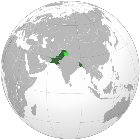
File talk:Dominion of Pakistan & Indian Controlled Kashmir (orthographic projection).svg
跳转到导航
跳转到搜索
 : User:Jdx
Note: This map shows the borders of every countries, political entities and other territories between July 2006 to June 2011, which makes a big mistake. Here is the reason: Dominion of Pakistan existed from 14 August 1947, when it became independent from British India, to 23 March 1956, when it was succeeded by Islamic Republic of Pakistan. Thus, this map should show the borders of every countries, political entities, colonies and other territories at the end of 1955 (see the English Wikipedia articles "List of sovereign states in 1955" and "List of national border changes since World War I"). — 以上未签名的留言是由该用户加入的: 114.246.237.88 (留言 • 贡献) 14:26, 20 October 2018 (UTC)