File:California 113.svg
Vai alla navigazione
Vai alla ricerca

Dimensioni di questa anteprima PNG per questo file SVG: 449 × 401 pixel. Altre risoluzioni: 269 × 240 pixel | 538 × 480 pixel | 860 × 768 pixel | 1 147 × 1 024 pixel | 2 293 × 2 048 pixel.
File originale (file in formato SVG, dimensioni nominali 449 × 401 pixel, dimensione del file: 12 KB)
Didascalie
Didascalie
Aggiungi una brevissima spiegazione di ciò che questo file rappresenta
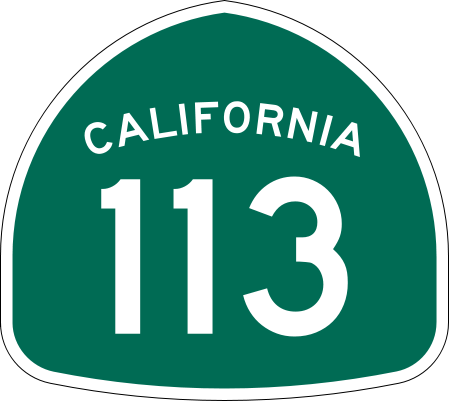
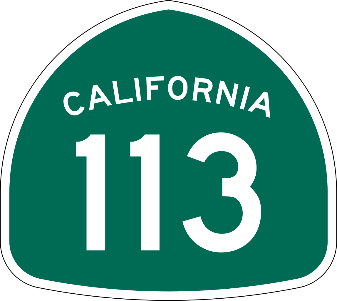
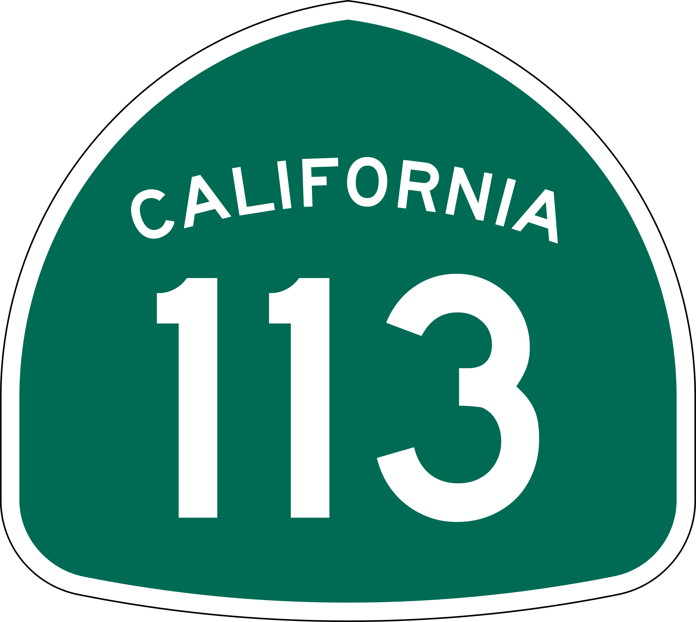
| Descrizione | Vector image of a 24 in by 25 in (600 mm by 635 mm) California State Route shield. Colors are from [1] (Pantone Green 342), converted to RGB by [2]. The outside border has a width of 1 (1/16 in) and a color of black so it shows up; in reality, signs have no outside border. |
| Data | |
| Fonte | Made to the specifications of the 1971 Caltrans sign drawing (still in use). Uses the Roadgeek 2005 fonts. (United States law does not permit the copyrighting of typeface designs, and the fonts are meant to be copies of a U.S. Government-produced work anyway.) |
| Autore | SPUI |
| Altre versioni |
Questa immagine vettoriale include elementi che sono stati presi o adattati da questa: |
| SVG sviluppo | Questo logotipo in grafica vettoriale è stato creato con Adobe Illustrator. |
This file is in the public domain because it comes from the California Manual on Uniform Traffic Control Devices, sign number G28-2 (CA), which states specifically in its introduction, on page 44 that:
|
Cronologia del file
Fare clic su un gruppo data/ora per vedere il file come si presentava nel momento indicato.
| Data/Ora | Miniatura | Dimensioni | Utente | Commento | |
|---|---|---|---|---|---|
| attuale | 18:06, 20 mar 2006 | | 449 × 401 (12 KB) | SPUI~commonswiki (discussione | contributi) | {{spuiother}} 28 in by 25 in California State Route shield, made to the specifications of the [http://www.dot.ca.gov/hq/traffops/signtech/signdel/specs/G28-2.pdf 1971 Caltrans sign drawing] (still in use). Uses the [http://www.triskele.com/fonts/index.htm |
Impossibile sovrascrivere questo file.
Utilizzo del file
Le seguenti 4 pagine usano questo file:
Utilizzo globale del file
Anche i seguenti wiki usano questo file:
- Usato nelle seguenti pagine di da.wikipedia.org:
- Usato nelle seguenti pagine di de.wikipedia.org:
- Usato nelle seguenti pagine di en.wikipedia.org:
- Sacramento River
- Yolo County, California
- Solano County, California
- Sutter County, California
- Northern California
- California State Route 99
- California State Route 113
- List of highways numbered 113
- California State Route 61
- California State Route 12
- Wikipedia:WikiProject U.S. Roads/Redirects/California
- California State Route 114
- California State Route 45
- Interstate 80 in California
- Interstate 5 in California
- List of state highways in California
- Sacramento metropolitan area
- Business routes of Interstate 5
- List of crossings of the Sacramento River
- User:Shannon1/Sandbox
- California county routes in zone E
- Template:Sacramento River map
- User:Tv's emory/Sandbox/List of state highways in California
- Usato nelle seguenti pagine di en.wikivoyage.org:
- Usato nelle seguenti pagine di es.wikipedia.org:
- Usato nelle seguenti pagine di fr.wikipedia.org:
- Usato nelle seguenti pagine di it.wikipedia.org:
- Usato nelle seguenti pagine di ja.wikipedia.org:
Visualizza l'utilizzo globale di questo file.