File:Damascus Eyalet, Ottoman Empire (1795).png
Vai alla navigazione
Vai alla ricerca
Dimensioni di questa anteprima: 716 × 599 pixel. Altre risoluzioni: 287 × 240 pixel | 574 × 480 pixel | 918 × 768 pixel | 1 224 × 1 024 pixel | 2 434 × 2 037 pixel.
File originale (2 434 × 2 037 pixel, dimensione del file: 591 KB, tipo MIME: image/png)
Didascalie
Didascalie
Aggiungi una brevissima spiegazione di ciò che questo file rappresenta
Dettagli[modifica]
.png&action=edit§ion=1)
| Descrizione |
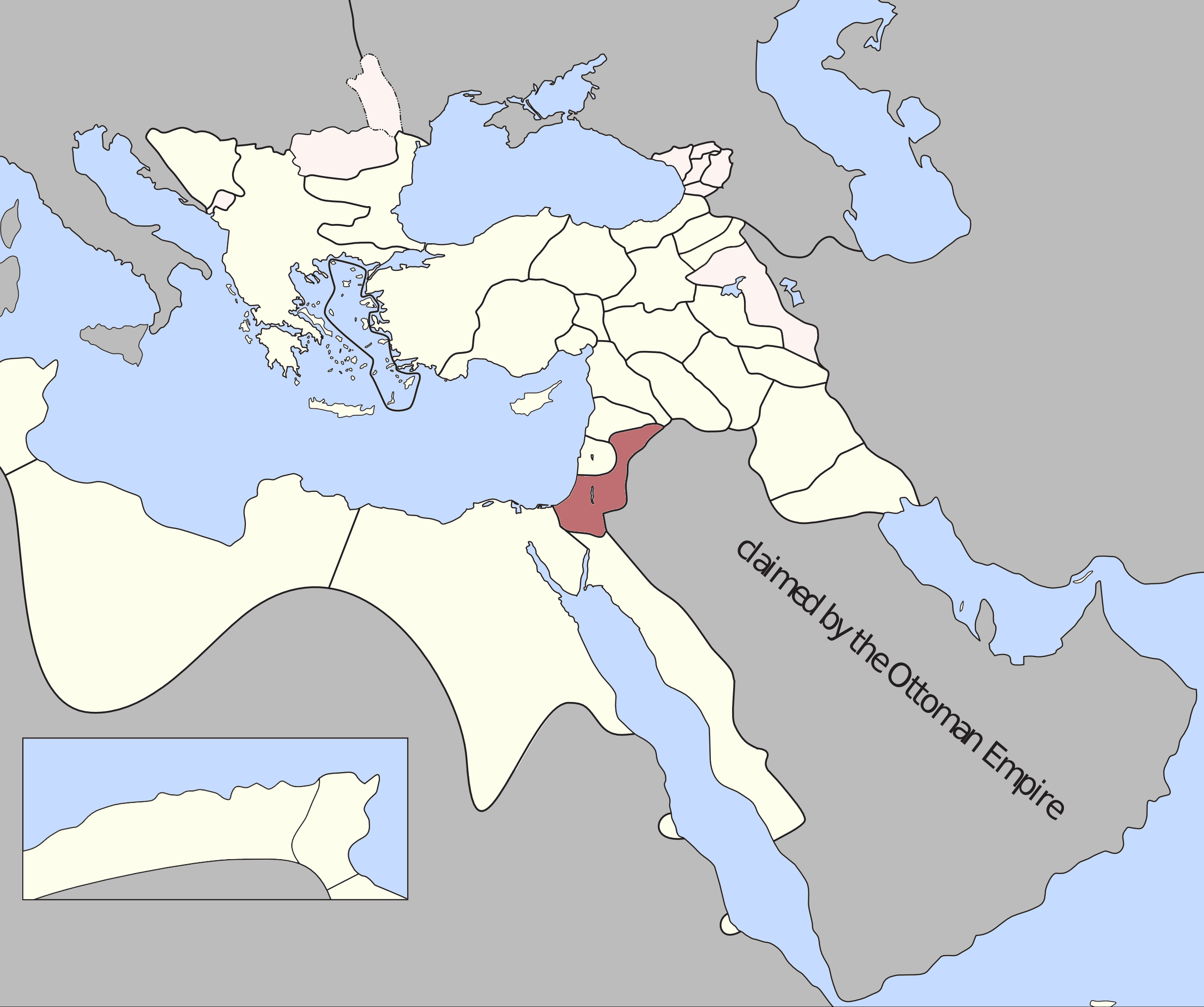
Damascus Eyalet — Ottoman Empire (1795). Source: A Brief History of the Late Ottoman Empire at Google Books By M. Sukru Hanioglu, Figure 1 |
| Data | |
| Fonte | Opera propria |
| Autore | Underlying lk |
Licenza[modifica]
.png&action=edit§ion=2)
Io, detentore del copyright su quest'opera, dichiaro di pubblicarla con la seguente licenza:
Questo file è disponibile in base alla licenza Creative Commons Attribuzione-Condividi allo stesso modo 3.0 Unported
- Tu sei libero:
- di condividere – di copiare, distribuire e trasmettere quest'opera
- di modificare – di adattare l'opera
- Alle seguenti condizioni:
- attribuzione – Devi fornire i crediti appropriati, un collegamento alla licenza e indicare se sono state apportate modifiche. Puoi farlo in qualsiasi modo ragionevole, ma non in alcun modo che suggerisca che il licenziante approvi te o il tuo uso.
- condividi allo stesso modo – Se remixi, trasformi o sviluppi il materiale, devi distribuire i tuoi contributi in base alla stessa licenza o compatibile all'originale.
Cronologia del file
Fare clic su un gruppo data/ora per vedere il file come si presentava nel momento indicato.
| Data/Ora | Miniatura | Dimensioni | Utente | Commento | |
|---|---|---|---|---|---|
| attuale | 00:15, 21 dic 2012 | | 2 434 × 2 037 (591 KB) | Underlying lk (discussione | contributi) |
Impossibile sovrascrivere questo file.
Utilizzo del file
Nessuna pagina utilizza questo file.
Utilizzo globale del file
Anche i seguenti wiki usano questo file:
- Usato nelle seguenti pagine di az.wikipedia.org:
- Usato nelle seguenti pagine di en.wikipedia.org:
- Usato nelle seguenti pagine di es.wikipedia.org:
- Usato nelle seguenti pagine di fr.wikipedia.org:
- Usato nelle seguenti pagine di he.wikipedia.org:
- Usato nelle seguenti pagine di id.wikipedia.org:
- Usato nelle seguenti pagine di it.wikipedia.org:
- Usato nelle seguenti pagine di ko.wikipedia.org:
- Usato nelle seguenti pagine di pt.wikipedia.org:
- Usato nelle seguenti pagine di ru.wikipedia.org:
- Usato nelle seguenti pagine di tr.wikipedia.org:
- Usato nelle seguenti pagine di uk.wikipedia.org:
- Usato nelle seguenti pagine di www.wikidata.org:
- Usato nelle seguenti pagine di zh.wikipedia.org:
Metadati
.png&oldid=706136607)
Categorie:
- Locator maps of eyalets of the Ottoman Empire
- Maps of the Ottoman Empire in the 18th century
- Maps of Ottoman Syria
- Maps of the history of Syria
- Maps of the history of Israel
- Maps of the history of Jordan
- Maps of the history of Lebanon
- Maps of the history of Palestine
- Ottoman Syria in the 18th century
- Ottoman Empire in the 1790s
- Maps of 18th-century Arabia