File:Khanate of Baku in the Map of Caucasus with the borders.jpg

File originale (3 000 × 3 819 pixel, dimensione del file: 3,26 MB, tipo MIME: image/jpeg)
Didascalie
Didascalie
| Descrizione |
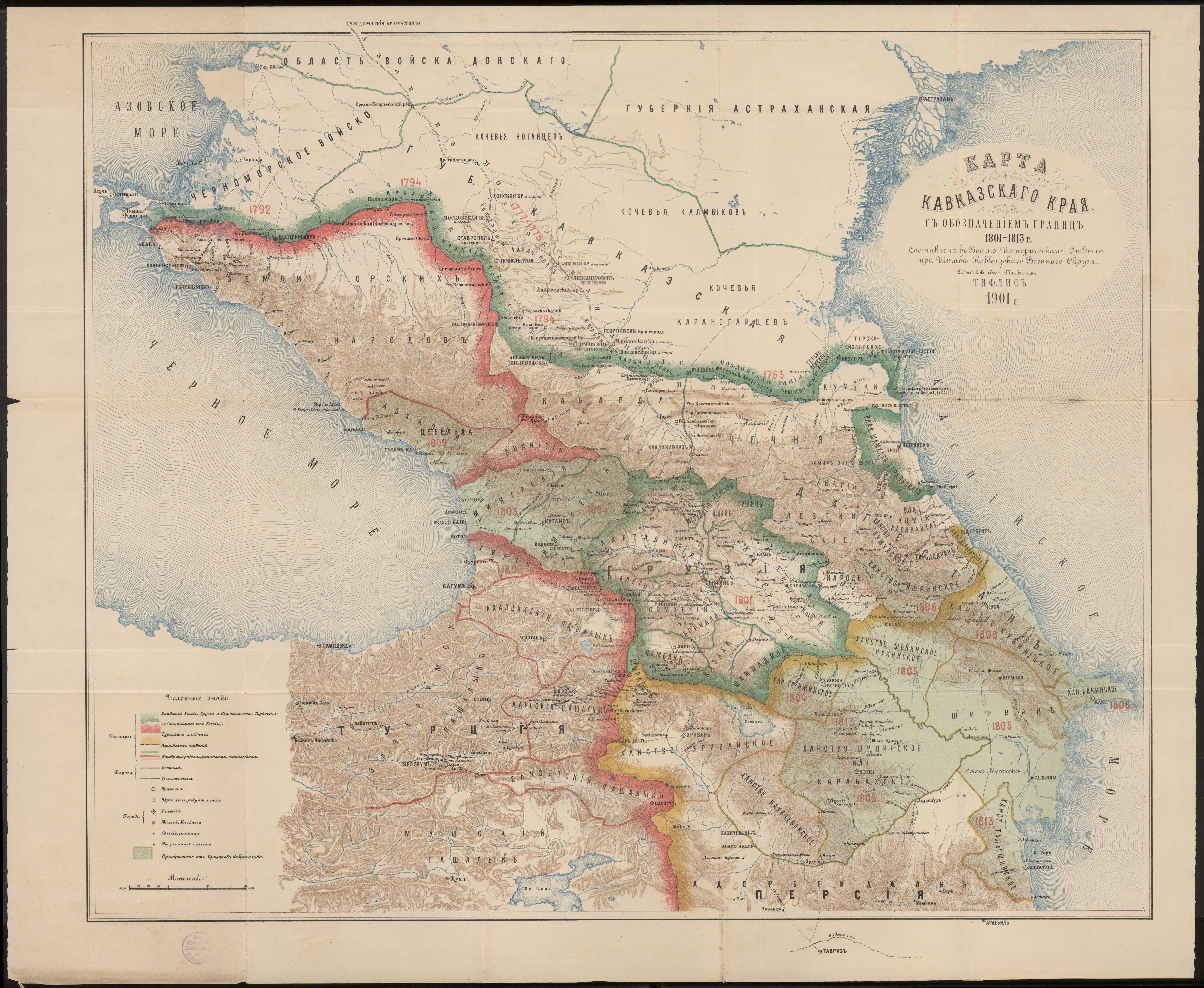
English: Khanate of Baku in the Map of Caucasus with the borders. |
| Data | |
| Fonte | Карта Кавказского края с обозначением границ 1801-1813 г. Составлена в военно-историческом отделе при штабе Кавказского военного округа подполковником Томкиевым. Тифлис 1901 г. |
| Autore | Владимир Ильич Томкеев |
This work was published on territory of the Russian Empire (Russian Republic) except for territories of the Grand Duchy of Finland and Congress Poland before 7 November 1917 and wasn't re-published for 30 days following initial publications on the territory of Soviet Russia or any other countries.
The Russian Federation (early Soviet Russia, RSFSR) is the historical heir but not legal successor of the Russian Empire, and the Russian Empire was not party to the Berne Convention (it was not country of Union for the protection of the rights of authors in their literary and artistic works), so according to article 5 of the Convention this work has no country of origin except:
¹ - Author who is not a national of a country of the Union but who has his habitual residence in a country of the Union, be assimilated to national of that country. The exclusive rights to this work do not extend on territory of the Russian Federation according to article 1256 of the Civil Code of the Russian Federation (details), because this work does not meet the requirements on the territory of publication, on the author's nationality, and on obligations for international treaties. If applicable, {{PD-Russia-expired}} should be used instead of this tag. Quest'opera è nel pubblico dominio negli Stati Uniti in quanto pubblicata (o registrata all'U.S. Copyright Office) prima del 1º gennaio 1929. |
 |
Cronologia del file
Fare clic su un gruppo data/ora per vedere il file come si presentava nel momento indicato.
| Data/Ora | Miniatura | Dimensioni | Utente | Commento | |
|---|---|---|---|---|---|
| attuale | 20:14, 1 mag 2020 | | 3 000 × 3 819 (3,26 MB) | Sword313 (discussione | contributi) | Uploaded a work by Владимир Ильич Томкеев from [http://xn--b1aaibpv0aet4h1a.xn--p1ai/forums/uploads/gallery/album_19/gallery_4_19_4287845.jpg Карта Кавказского края с обозначением границ 1801-1813 г. Составлена в военно-историческом отделе при штабе Кавказского военного округа подполковником Томкиевым. Тифлис 1901 г.] with UploadWizard |
Impossibile sovrascrivere questo file.
Utilizzo del file
La seguente pagina usa questo file:
Utilizzo globale del file
Anche i seguenti wiki usano questo file:
- Usato nelle seguenti pagine di ca.wikipedia.org:
- Usato nelle seguenti pagine di fa.wikipedia.org:
- Usato nelle seguenti pagine di fr.wikipedia.org:
- Usato nelle seguenti pagine di hy.wikipedia.org:
- Usato nelle seguenti pagine di it.wikipedia.org:
- Usato nelle seguenti pagine di pt.wikipedia.org:
- Usato nelle seguenti pagine di ru.wikipedia.org:
- Usato nelle seguenti pagine di tr.wikipedia.org:
- Usato nelle seguenti pagine di uk.wikipedia.org:
- Usato nelle seguenti pagine di www.wikidata.org: