File:Map of Gulf of Saint Lawrence-No names.png
קפיצה לניווט
קפיצה לחיפוש
גודל התצוגה המקדימה הזאת: 673 × 600 פיקסלים. רזולוציות אחרות: 269 × 240 פיקסלים | 539 × 480 פיקסלים | 862 × 768 פיקסלים | 1,059 × 944 פיקסלים.
לקובץ המקורי (1,059 × 944 פיקסלים, גודל הקובץ: 307 ק"ב, סוג MIME: image/png)
כיתובים
כיתובים
נא להוסיף משפט שמסביר מה הקובץ מייצג
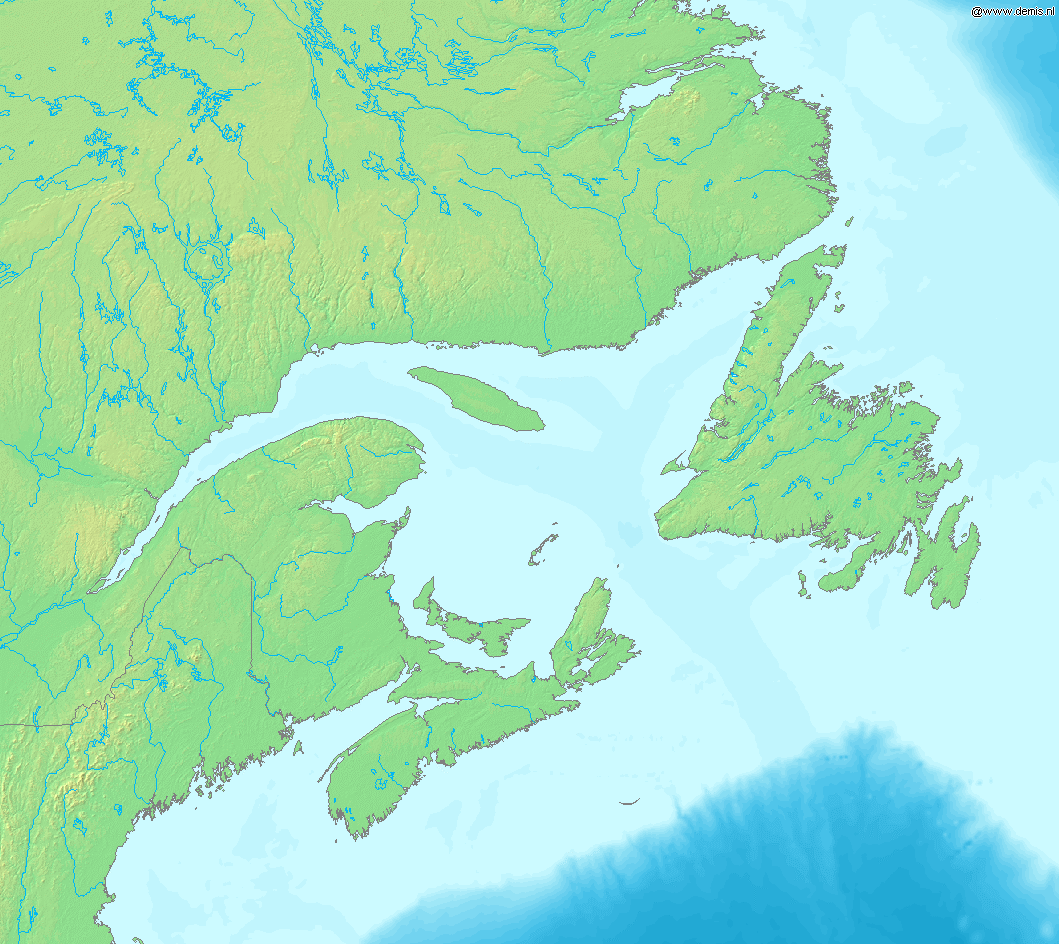
Map of Gulf of Saint Lawrence.
Bounding box West -73°, South 42°, East -51°, North 55°.
This image is in the public domain because it came from the site https://www.demis.nl/products/web-map-server/examples/ and was released by the copyright holder. Permission is granted to copy, distribute and/or modify this map since it is based on free of copyright images from: www.demis.nl. See also approval email on de.wp and its clarification.
|
| This work has been released into the public domain by its copyright holder, www.demis.nl. This applies worldwide. יש מדינות שבהן הדבר אינו אפשרי על פי חוק, אם כך: www.demis.nl מעניק לכל אחד את הזכות להשתמש ביצירה הזאת לכל מטרה, ללא שום תנאי, אלא אם כן תנאים כאלה נדרשים לפי החוק.
|
היסטוריית הקובץ
ניתן ללחוץ על תאריך/שעה כדי לראות את הקובץ כפי שנראה באותו זמן.
| תאריך/שעה | תמונה ממוזערת | ממדים | משתמש | הערה | |
|---|---|---|---|---|---|
| נוכחית | 18:17, 15 באוקטובר 2005 | | 944 × 1,059 (307 ק"ב) | Mats Halldin~commonswiki (שיחה | תרומות) | Map of Gulf of Saint Lawrence. Bounding box West -73°, South 42°, East -51°, North 55°. {{demis-pd}} Category:Maps of Canada |
אין באפשרותך לדרוס את הקובץ הזה.
שימוש בקובץ
אין דפים המשתמשים בקובץ זה.
שימוש גלובלי בקובץ
אתרי הוויקי השונים הבאים משתמשים בקובץ זה:
- שימוש באתר en.wikipedia.org
- שימוש באתר es.wikipedia.org
- שימוש באתר fr.wikipedia.org
- שימוש באתר gl.wikipedia.org
- שימוש באתר it.wikipedia.org
- שימוש באתר la.wikipedia.org