File:Political map of the World (November 2011).png
קפיצה לניווט
קפיצה לחיפוש
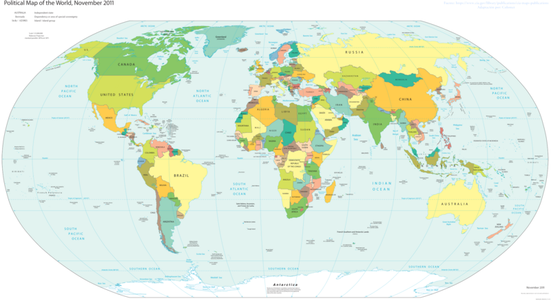
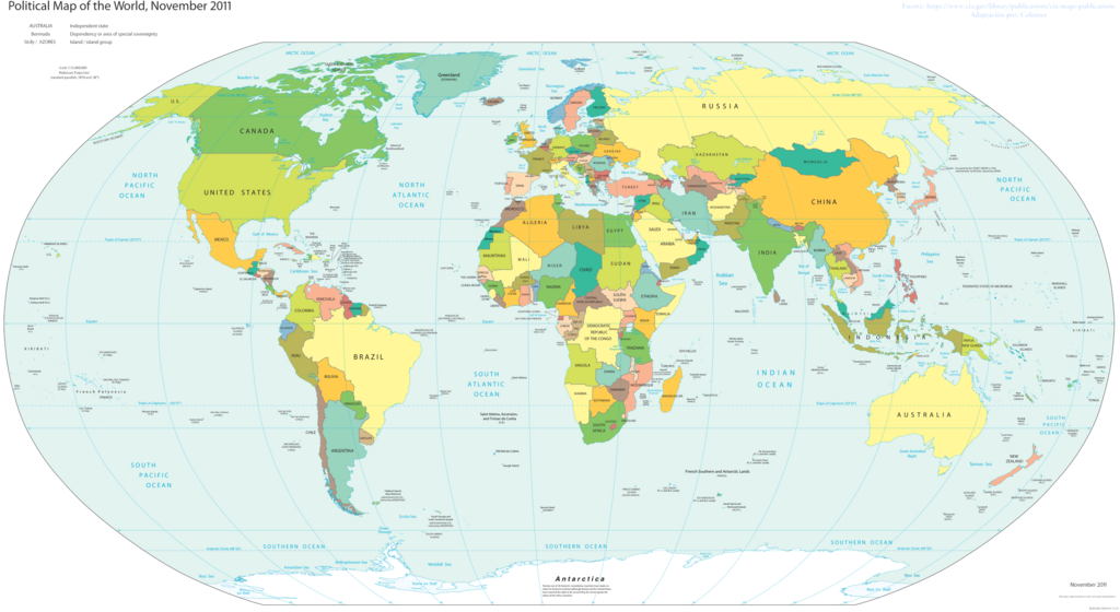
גודל התצוגה המקדימה הזאת: 800 × 437 פיקסלים. רזולוציות אחרות: 320 × 175 פיקסלים | 640 × 350 פיקסלים | 1,024 × 560 פיקסלים | 1,280 × 700 פיקסלים | 2,560 × 1,400 פיקסלים | 4,572 × 2,500 פיקסלים.
לקובץ המקורי (4,572 × 2,500 פיקסלים, גודל הקובץ: 3.46 מ"ב, סוג MIME: image/png)
כיתובים
כיתובים
נא להוסיף משפט שמסביר מה הקובץ מייצג
תקציר[עריכה]
| תיאור |
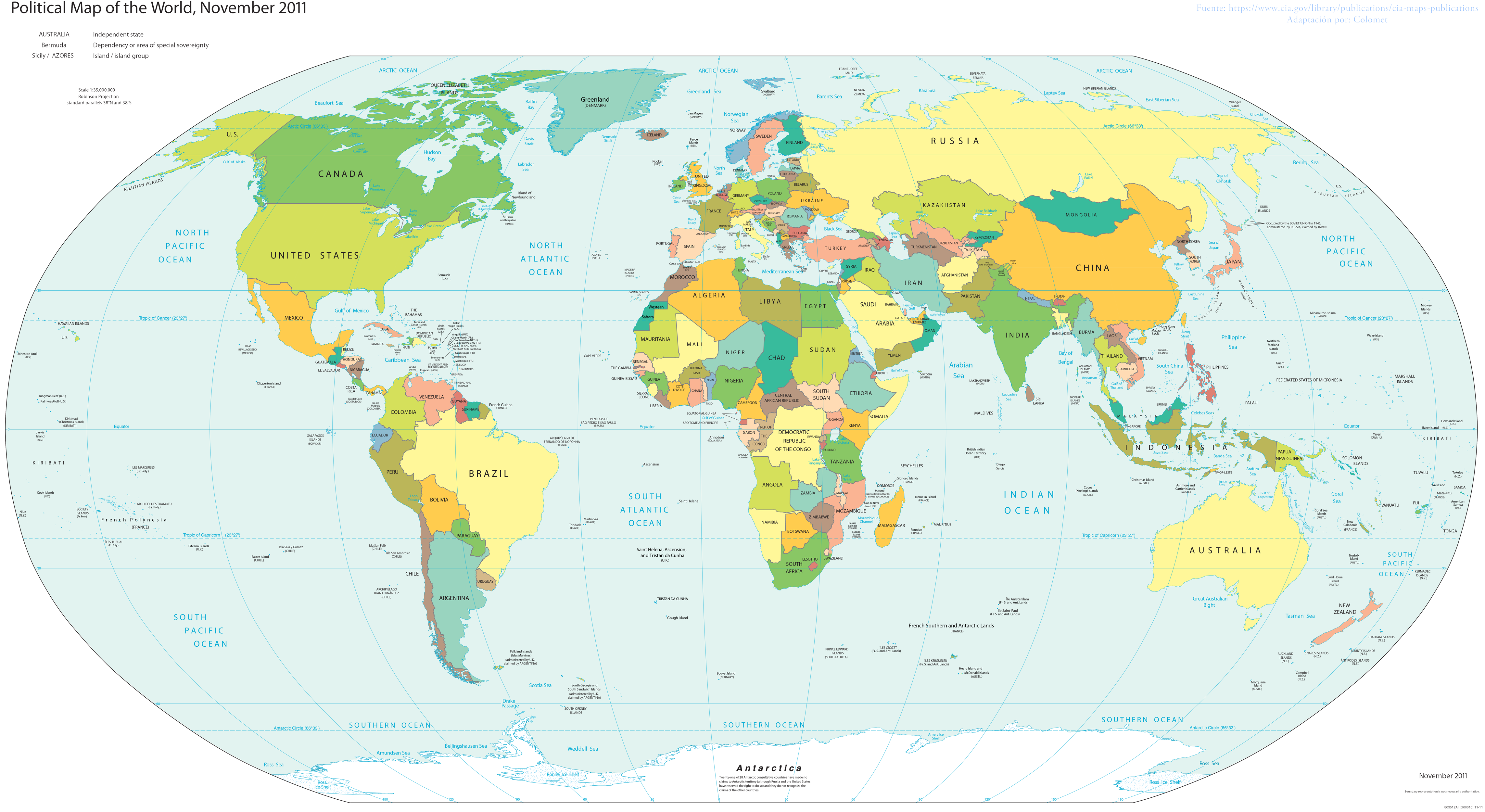
English: World map; partially inaccurate, as Taiwan is shown as part of China. POV-pushing users have reverted attempts to update this map to include other partially-unrecognized countries, due to the 2011 date on the map; however, South Sudan did not exist in 2011, and it's still on the map. |
| תאריך יצירה | |
| מקור | Basado en el Mapa politico de la CIA |
| יוצר | Colomet |
| גרסאות אחרות |
 |


.png&action=edit§ion=1)
רישיון[עריכה]
.png&action=edit§ion=2)
אני, בעל זכויות היוצרים על עבודה זו, מפרסם בזאת את העבודה תחת הרישיון הבא:
הקובץ הזה מתפרסם לפי תנאי רישיון קריאייטיב קומונז ייחוס-שיתוף זהה 3.0 לא מותאם.
- הנכם רשאים:
- לשתף – להעתיק, להפיץ ולהעביר את העבודה
- לערבב בין עבודות – להתאים את העבודה
- תחת התנאים הבאים:
- ייחוס – יש לתת ייחוס הולם, לתת קישור לרישיון, ולציין אם נעשו שינויים. אפשר לעשות את זה בכל צורה סבירה, אבל לא בשום צורה שמשתמע ממנה שמעניק הרישיון תומך בך או בשימוש שלך.
- שיתוף זהה – אם תיצרו רמיקס, תשנו, או תבנו על החומר, חובה עליכם להפיץ את התרומות שלך לפי תנאי רישיון זהה או תואם למקור.
This image is in the public domain because it contains materials that originally came from the United States Central Intelligence Agency's World Factbook.
|
 |
היסטוריית הקובץ
ניתן ללחוץ על תאריך/שעה כדי לראות את הקובץ כפי שנראה באותו זמן.
.png&uselang=he&dir=prev)
.png&uselang=he&offset=20170108210230)
.png&uselang=he&offset=&limit=20)
.png&uselang=he&offset=&limit=50)
.png&uselang=he&offset=&limit=100)
.png&uselang=he&offset=&limit=250)
.png&uselang=he&offset=&limit=500)
| תאריך/שעה | תמונה ממוזערת | ממדים | משתמש | הערה | |
|---|---|---|---|---|---|
| נוכחית | 18:00, 24 בנובמבר 2017 | | 2,500 × 4,572 (3.46 מ"ב) | Rob984 (שיחה | תרומות) | Reverted to version as of 23:35, 16 November 2017 (UTC) Crimea wasn't controlled by Russia in November 2011. Please fix the date. Also dont add Turkish occupation zones as Turkey, they are not. |
| 19:17, 23 בנובמבר 2017 |  | 2,500 × 4,572 (3.43 מ"ב) | Koxem918 (שיחה | תרומות) | Slight coloring fix in Russian area around Abkhazia. | |
| 19:13, 23 בנובמבר 2017 |  | 2,500 × 4,572 (3.43 מ"ב) | Koxem918 (שיחה | תרומות) | Added back in Russian control over Ukraine as well as Turkish control of northern Syria, neither of which had been established when the map was created. Also added back in Abkhazia. | |
| 23:35, 16 בנובמבר 2017 |  | 2,500 × 4,572 (3.46 מ"ב) | Mitolith (שיחה | תרומות) | Reverted to version as of 23:13, 31 January 2012 (UTC) | |
| 02:37, 30 ביולי 2017 |  | 2,500 × 4,572 (2.79 מ"ב) | Salem.leo.1 (שיחה | תרומות) | Added in Donetsk's People's Republic, South Ossetia, Abkhazia | |
| 21:03, 26 במרץ 2017 |  | 2,500 × 4,572 (3.43 מ"ב) | Salem Leo (שיחה | תרומות) | Added in Kosovo. | |
| 19:58, 26 במרץ 2017 |  | 2,500 × 4,572 (3.43 מ"ב) | Salem Leo (שיחה | תרומות) | Added in area controlled by Turkey in Northern Syria due to Operation Euphrates Shield. | |
| 18:45, 26 במרץ 2017 |  | 2,500 × 4,572 (3.41 מ"ב) | Salem Leo (שיחה | תרומות) | Colouring fix. | |
| 21:04, 8 בינואר 2017 |  | 2,500 × 4,572 (3.43 מ"ב) | Rob984 (שיחה | תרומות) | Reverted to version as of 03:16, 30 November 2016 (UTC) ISIS is not a recognised country.... | |
| 21:02, 8 בינואר 2017 |  | 2,500 × 4,572 (3.43 מ"ב) | Rob984 (שיחה | תרומות) | Reverted to version as of 04:11, 30 November 2016 (UTC) |
אין באפשרותך לדרוס את הקובץ הזה.
שימוש בקובץ
הדפים הבאים משתמשים בקובץ הזה:
- User:Sanandros/ogre/secret intelligence/2016 December 11-20
- User:Sanandros/ogre/secret intelligence/2016 February 20-29
- User:Sanandros/ogre/secret intelligence/2016 November 1-10
- User:Sanandros/ogre/secret intelligence/2016 November 11-20
- User:Sanandros/ogre/secret intelligence/2016 November 21-30
- User:Sanandros/ogre/secret intelligence/2016 October 11-20
- User:Sanandros/ogre/secret intelligence/2016 October 21-31
- User:Sanandros/ogre/secret intelligence/2016 September 21-30
- User:Sanandros/ogre/secret intelligence/2017 January 1-10
- Commons:Files used on the OpenStreetMap Wiki/1
- Commons:Files used on the OpenStreetMap Wiki/32
- Commons:WikiProject Aviation/recent uploads/2016 February 26
- File:1-12 Blue-White Map World.png
- File:1-12 Grey Map World.png
- File:1-12 Political Color Map World.png (הפניה של קובץ)
- File:Political Grey Map World.png
- File:1-12 Blue-White Map World.png
- File:1-12 Grey Map World.png
- User:Sanandros/ogre/secret intelligence/2016 February 20-29
- Commons:WikiProject Aviation/recent uploads/2016 February 26
- User:Sanandros/ogre/secret intelligence/2016 September 21-30
- User:Sanandros/ogre/secret intelligence/2016 October 11-20
- User:Sanandros/ogre/secret intelligence/2016 October 21-31
- User:Sanandros/ogre/secret intelligence/2016 November 1-10
- User:Sanandros/ogre/secret intelligence/2016 November 11-20
- User:Sanandros/ogre/secret intelligence/2016 November 21-30
- User:Sanandros/ogre/secret intelligence/2016 December 11-20
- User:Sanandros/ogre/secret intelligence/2017 January 1-10
- Commons:Files used on the OpenStreetMap Wiki/1
- File:Political Grey Map World.png
- File:World11 Names-Colors.png (הפניה של קובץ)
שימוש גלובלי בקובץ
אתרי הוויקי השונים הבאים משתמשים בקובץ זה:
- שימוש באתר ar.wikipedia.org
- שימוש באתר awa.wikipedia.org
- שימוש באתר crh.wikipedia.org
- שימוש באתר cv.wikipedia.org
- שימוש באתר en.wikipedia.org
- שימוש באתר eo.wikipedia.org
- שימוש באתר es.wikipedia.org
- שימוש באתר fa.wikiquote.org
- שימוש באתר fi.wikipedia.org
- שימוש באתר gl.wikipedia.org
- שימוש באתר ha.wikipedia.org
- שימוש באתר he.wikipedia.org
- שימוש באתר ht.wikipedia.org
- שימוש באתר incubator.wikimedia.org
- שימוש באתר ka.wikipedia.org
- שימוש באתר lo.wikipedia.org
- שימוש באתר nl.wikipedia.org
- שימוש באתר pt.wikipedia.org
- שימוש באתר ru.wikipedia.org
- שימוש באתר sco.wikipedia.org
- שימוש באתר si.wikipedia.org
- שימוש באתר sv.wikipedia.org
- שימוש באתר th.wikipedia.org
- שימוש באתר tly.wikipedia.org
- שימוש באתר uk.wikipedia.org
- שימוש באתר za.wikipedia.org
.png&oldid=692369339)