File:San Jose Skyline Silicon Valley.jpg
File originale (2 496 × 1 664 pixel, dimensione del file: 1,44 MB, tipo MIME: image/jpeg)
Didascalie
Didascalie
| Descrizione |
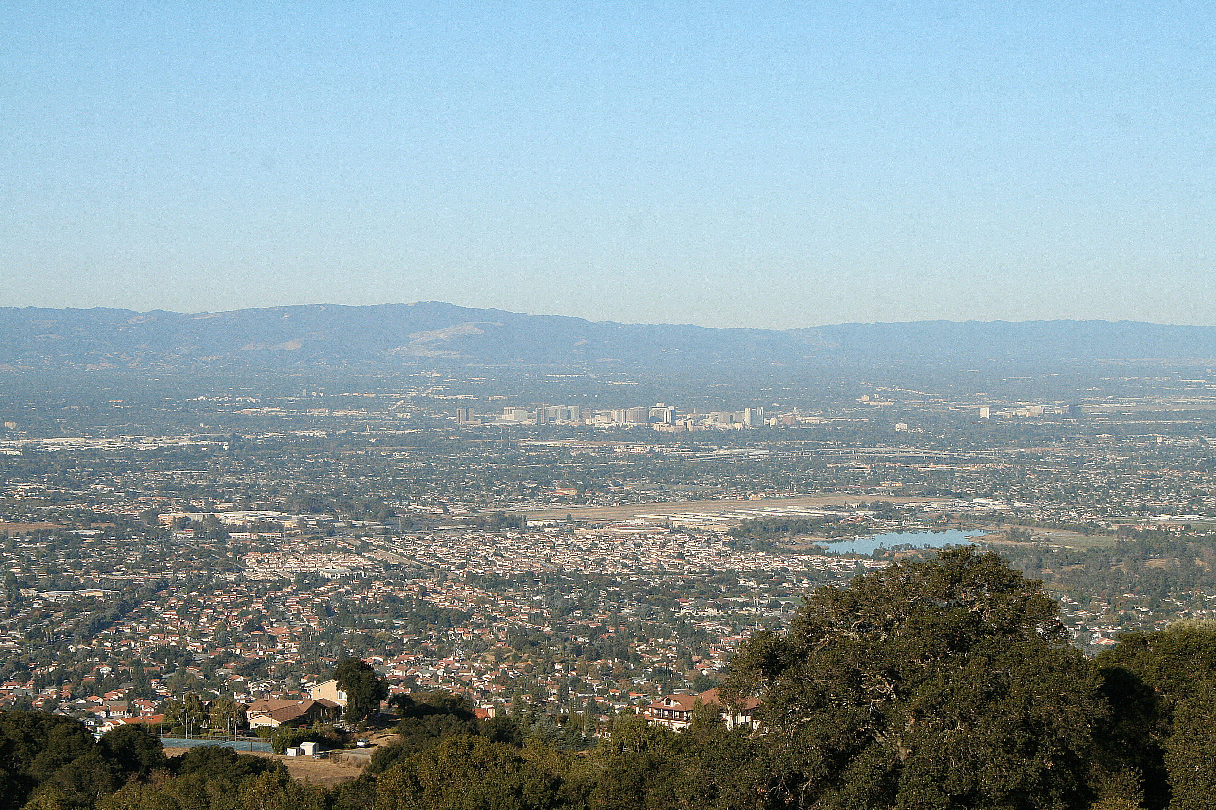
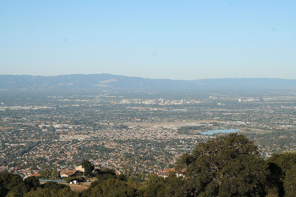
Santa Clara Valley "The Valley of Heart's Delight". Looking west across the valley from Quimby Road, Lake Cunningham Park is in the right foreground, with Reid-Hillview Airport at low center and the high-rise buildings in downtown San Jose beyond. The Santa Clara Valley is a valley just south of the San Francisco Bay in Northern California in the United States. Much of Santa Clara County, California and its county seat San Jose, are in the Santa Clara Valley. The valley was originally known as the Valley of Heart’s Delight for the miles and miles of orchards. Once primarily agricultural because of its highly fertile soil, it is now largely urbanized, although its far southern reaches south of Gilroy remain rural. Silicon Valley is roughly coterminous with the Santa Clara Valley, although since the former is as much a state of mind as an actual location, people often refer to parts of the San Francisco Peninsula as being part of Silicon Valley as well. Locally, the Santa Clara Valley is also referred to as the "South Bay." However, the Santa Clara Valley American Viticultural Area remains important. The northern end of the Santa Clara Valley is at the southern tip of the San Francisco Bay, and the southern end is in the vicinity of Gilroy. The valley is bounded by the Santa Cruz Mountains on the southwest and by the Diablo Range on the northeast. It is about 30 miles (50 km) long and about 15 miles (20 km) wide. The valley's largest city, by an 86.7% margin, is San Jose. Taken with Canon XT (350D) |
| Data | |
| Fonte | Santa Clara Valley - California |
| Autore | Michael from San Jose, California, USA |
| Altre versioni |
|

| Luogo dello scatto | | Posizione di questa e altre immagini su: OpenStreetMap |
|---|
Licenza[modifica]
- Tu sei libero:
- di condividere – di copiare, distribuire e trasmettere quest'opera
- di modificare – di adattare l'opera
- Alle seguenti condizioni:
- attribuzione – Devi fornire i crediti appropriati, un collegamento alla licenza e indicare se sono state apportate modifiche. Puoi farlo in qualsiasi modo ragionevole, ma non in alcun modo che suggerisca che il licenziante approvi te o il tuo uso.
| Questa immagine, originariamente caricata su Flickr, è stata controllata in data 19 luglio 2009 dall'amministratore o reviewer Abigor, il quale ha confermato che, a quella data, l'immagine era disponibile su Flickr sotto la licenza indicata. |
Cronologia del file
Fare clic su un gruppo data/ora per vedere il file come si presentava nel momento indicato.
| Data/Ora | Miniatura | Dimensioni | Utente | Commento | |
|---|---|---|---|---|---|
| attuale | 00:51, 18 lug 2009 | | 2 496 × 1 664 (1,44 MB) | Sanjosecalifornia (discussione | contributi) | {{Information |Description= Santa Clara Valley "The Valley of Heart's Delight" The Santa Clara Valley is a valley just south of the San Francisco Bay in Northern California in the United States. Much of Santa Clara County, California and its county sea |
Impossibile sovrascrivere questo file.
Utilizzo del file
La seguente pagina usa questo file:
Utilizzo globale del file
Anche i seguenti wiki usano questo file:
- Usato nelle seguenti pagine di en.wikipedia.org:
- Usato nelle seguenti pagine di it.wikipedia.org:
- Usato nelle seguenti pagine di nn.wikipedia.org: