File:United States Congressional Districts in Maryland (metro highlight), 2003–2013.tiff
Vai alla navigazione
Vai alla ricerca

Dimensioni di questa anteprima PNG per questo file TIF: 800 × 468 pixel. Altre risoluzioni: 320 × 187 pixel | 640 × 375 pixel | 1 024 × 599 pixel | 1 370 × 802 pixel.
File originale (1 370 × 802 pixel, dimensione del file: 1,43 MB, tipo MIME: image/tiff)
Didascalie
Didascalie
Aggiungi una brevissima spiegazione di ciò che questo file rappresenta
Dettagli
[modifica]| Descrizione |
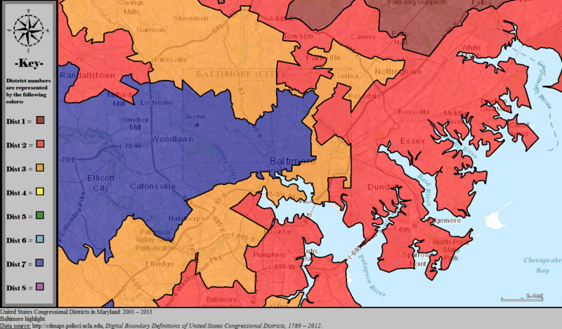
English: Boundaries for United States congressional districts in Maryland, 2003-2013. Baltimore area is map focus. Map color key is provided inside the image. |
| Data | |
| Fonte | US Department of the Interior, public data retrieved from http://cdmaps.polisci.ucla.edu on October 18, 2014. |
| Autore | Authors: 1) All GIS data presented in this project was originally collected and published by the United States Department of the Interior. 2) US district GIS shapefile data created in association with the UCLA by Jeffrey B. Lewis, Brandon DeVine, Lincoln Pitcher, and Kenneth C. Martis. (2013) Digital Boundary Definitions of United States Congressional Districts, 1789-2012. 3) Data was rendered using ArcGIS® software by Esri. 4) File developed for use on Wikipedia and elsewhere by 7partparadigm. |
Licenza
[modifica]| This image or media file contains material based on a work of a United States Department of the Interior employee, created as part of that person's official duties. As a work of the U.S. federal government, such work is in the public domain in the United States. See the Department of the Interior copyright policy for more information. |  |
Cronologia del file
Fare clic su un gruppo data/ora per vedere il file come si presentava nel momento indicato.
| Data/Ora | Miniatura | Dimensioni | Utente | Commento | |
|---|---|---|---|---|---|
| attuale | 01:38, 30 ott 2014 |  | 1 370 × 802 (1,43 MB) | 7partparadigm (discussione | contributi) | User created page with UploadWizard |
Impossibile sovrascrivere questo file.
Utilizzo del file
La seguente pagina usa questo file:
- File:United States Congressional Districts in Maryland (metro highlight), 2003 – 2013.tif (reindirizzamento file)
Utilizzo globale del file
Anche i seguenti wiki usano questo file:
- Usato nelle seguenti pagine di en.wikipedia.org:
- Usato nelle seguenti pagine di it.wikipedia.org: