Mount Hood
ナビゲーションに移動
検索に移動
Čeština: Mount Hood je stratovulkán ležící v americkém státě Oregon. Náleží do horského pásma Kaskádových vrchů
Deutsch: Der Stratovulkan Mount Hood liegt ca. 70 km östlich von Portland. Mit 3.425 m ist er der höchste Berg in Oregon und der vierthöchste der Kaskadenkette.
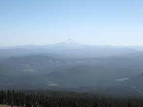
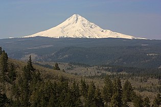
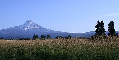
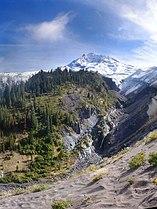
English: Mount Hood is a 3,429 meter dormant stratovolcano in northern Oregon, in the Pacific Northwest region of the United States. It is about 50 miles (80 km) east-southeast of Portland, on the border between Clackamas and Hood River counties. It is the highest mountain in Oregon and the fourth-highest in the Cascade Range. It can be seen easily from both Portland and en:Vancouver, Washington.
Français : Mount Hood est un stratovolcan endormi situé dans le nord de l’Oregon, au nord-ouest des États-Unis. La montagne est à environ 100 km (60 miles) à l’est de Portland. Ces pics couverts de neige marquent la frontière entre les comtés de Clackamas et de Hood River. C’est le plus haut sommet de l’Oregon et le 4 de la fr:Chaîne des Cascades. On peut voir facilement la montagne depuis Portland et Vancouver, ville de l'état de Washington.
Slovenčina: Hood môže byť:
Slovenščina: Hood je lahko:
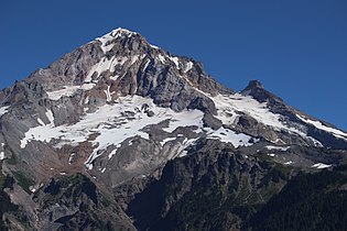
Close up
[編集]-
Mt. Hood from Mirror Lake Oregon
-
from Bald Mountain
-
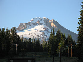
from Timberline
-
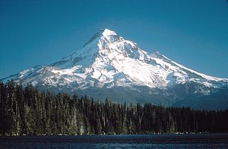
Lost Lake, ca1985
-
Mount Hood (Oregon)
-
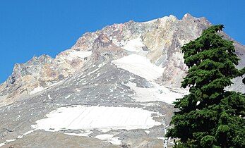
Mount Hood seen from the south. Crater Rock, the remnants of a 200-year-old lava dome, is visible just below the summit.
-
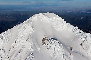
Aerial photograph of Mount Hood's summit
From afar
[編集]-
Sunset, Trillium Lake
-
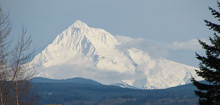
Portland and Mount Hood
-
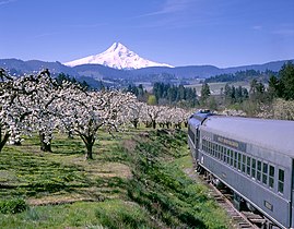
Mount Hood Railroad
-
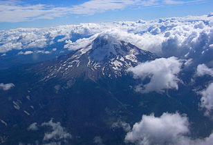
Mt. Hood from a passenger jet, 7-19-2007
-
View from the peak of Mount Hood
-
Mt. Hood at sunrise
-
Mount Hood seen from Portland
-
View from McCall Point
-
Mount Hood from Parkdale
-
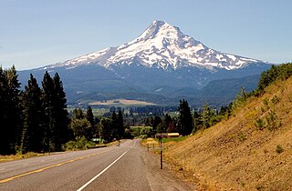
North side of Mount Hood as seen from the Mount Hood Scenic Byway
-
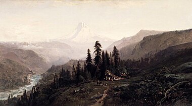
Mount Hood, Oregon: painting by William Keith in the Brooklyn Museum
-
as seen from Warm Springs Reservation)
-
Mount Hood as seen from Timothy Lake
-
An aerial panorama of Mount Hood and Lolo Pass from above Lost Creek
Details
[編集]-
East side of mountian
-
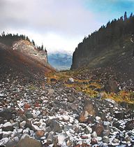
Glaciated valley
-
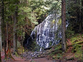
Ramona falls
-
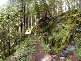
Temperate rain forest
-
Early summer panorama of aerial photos of the mountain's crater.
-
Sandy River head waters, from the Reid glacier


