Atlas Mountains
Jump to navigation
Jump to search
Satellite photos[edit]
-
 Summer; North-West Africa; Brings out the Atlas Mountains
 -
 Mountains,
Sahara Desert -
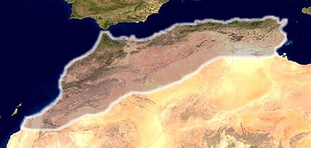
 Summer; Africa; Brings out the Atlas Mountains
 -
 Morocco, January and April
 -
 Atlas Mountains, Strait of Gibraltar, NASA
 -

-
 ISS photo with annotations, mountains in South of Marrakech


.png)


Maps[edit]
-
 Topographical and political map showing the location of the Atlas Mountains (English names)
 -
 Topographical and political map with German names
 -
 Topographical and political map with German names (and the Hochland der Schotts)
 -
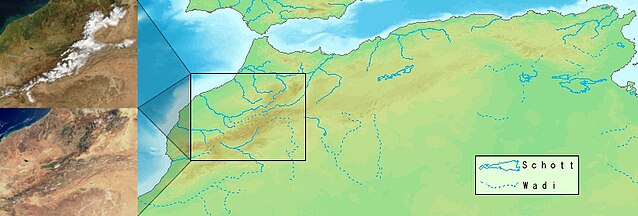
 Some of Morocco's mountains in January and in April and an explanation of the Wadis and Schott's
 -
 Same but more quality and more bytes
 -
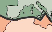 Showing the Atlas Mountains and it's tectonic plates (North: Eurasian Plate, South: African Plate)
 -
 2023 earthquake, Al Haouz Province
 -
 Shake map, 8 September 2023, Marrakesh-Safi earthquake


Photos[edit]
-
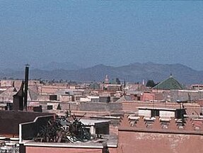 Atlas Mountains can be seen over the roofs of Marrakech
 -
Map showing seasonal variations of the Canyons and Wadis in the High Atlas Mountains
-
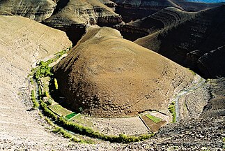
 High Atlas, Ait Benhaddou
 -
 A Valley in the High Atlas
 -
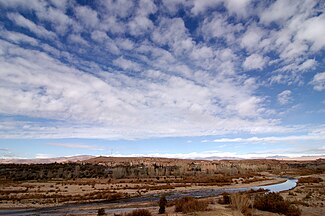
 NASA image of High Atlas
 -
 Jebel Toubkal mountain
 -
 Jebel Toubkal close-up
 -
-
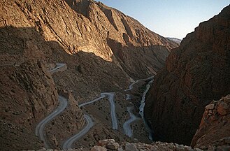
 Dadès Gorges
 -
 Dadès Gorges
 -
 road in Dades Gorge, photo
 -
 agriculture, Col du Ouano, photo
 -
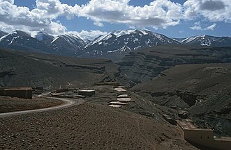
 High Atlas
 -
 Jbel Tignousti and Jbel Rhat (a photo of High Atlas Mountains), a view to Jbel Toubkal massif (in background)
 -
 Tislit Gorges in the Anti-Atlas


Earthquakes[edit]
-
 Tectonic map
 -
 magnitude 6.8 earthquake, Atlas Mountains, Safi Province
 -
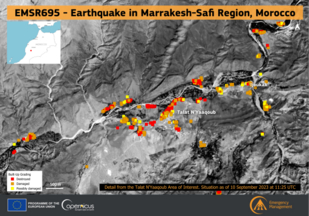
 2023 earthquake impact in Taroudant Province

_1_(53173412757).png)
