Category:16th-century maps of Thuringia
Jump to navigation
Jump to search
Federal states of Germany:
Subcategories
This category has only the following subcategory.
M
Media in category "16th-century maps of Thuringia"
The following 7 files are in this category, out of 7 total.
-
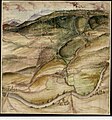
 Weimar 1569.jpg 2,620 × 1,948; 3.31 MB
-
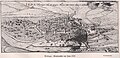 (1570) Mellingers Stadtansicht von Jena.jpg 2,660 × 1,285; 2.57 MB
-

-
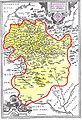 Henneberg-1594.jpg 1,042 × 1,530; 477 KB
-

-

-

_Mellingers_Stadtansicht_von_Jena.jpg)


