Category:Airport diagrams of John F. Kennedy International Airport
Jump to navigation
Jump to search
Media in category "Airport diagrams of John F. Kennedy International Airport"
The following 9 files are in this category, out of 9 total.
-
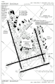
 FAA JFK Airport map 2011.svg 605 × 929; 1.36 MB
-
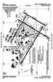
 FAA JFK Airport map 2012.png 1,137 × 751; 160 KB
-
 FAA JFK Airport map 2013.gif 500 × 768; 153 KB
-
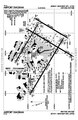
 FAA JFK Airport map 2013.png 399 × 576; 154 KB
-
 FAA JFK Airport map 2013.svg 378 × 550; 979 KB
-
 FAA JFK Airport map 2014.pdf 806 × 1,237; 333 KB
-
 FAA JFK Airport map 2016.pdf 806 × 1,237; 240 KB
-
 FAA JFK Airport map 2019.pdf 806 × 1,237; 245 KB
-
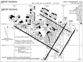 FAA JFK Airport map 2019.png 1,126 × 842; 311 KB


