Category:Geography of Gyoda, Saitama
Jump to navigation
Jump to search
Wikimedia category | |||||
| Upload media | |||||
| Instance of | |||||
|---|---|---|---|---|---|
| |||||
Media in category "Geography of Gyoda, Saitama"
The following 28 files are in this category, out of 28 total.
-
 Gyoda in Saitama Prefecture Ja.svg 628 × 360; 14 KB
-
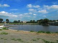
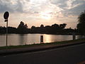 20040716 IMG2469 GyodaLake.JPG 320 × 240; 20 KB
-
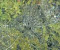 Gyoda city center area Aerial photograph.1990.jpg 6,973 × 5,784; 35.45 MB
-
 Gyoda Confluence Of Minuma Canal And Hoshikawa 1.JPG 3,264 × 2,448; 2.13 MB
-
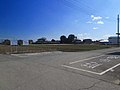
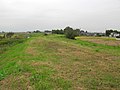 Gyoda Cyujyo Bank 1.jpg 640 × 480; 222 KB
-
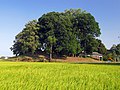 Gyoda Hakusanjinjya Tumulus 1.JPG 3,223 × 2,418; 2.82 MB
-
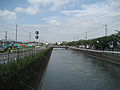
 Gyoda Hoshi River 1.JPG 3,120 × 2,340; 1.74 MB
-
 Gyoda Ishida Bank 1.JPG 2,592 × 1,944; 1.95 MB
-
 Gyoda Kyuoshi River 1.JPG 3,200 × 2,400; 1.79 MB
-
 Gyoda Minumamotoiri Park 1.JPG 3,264 × 2,176; 2.61 MB
-
 Gyoda Musashi Waterway 1.JPG 3,264 × 2,448; 2.2 MB
-
 Gyoda Musasi Suiro Kaitiku 1.jpg 640 × 480; 35 KB
-
 Gyoda Ooike 1.jpg 640 × 480; 40 KB
-
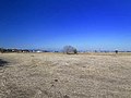
 Gyoda Osakinuma Tyuusyazyou 1.jpg 640 × 480; 25 KB
-
 Gyoda Osakinuma Zenkei 1.jpg 640 × 480; 58 KB
-
 Gyoda Paddy Field Art Of Gyoda City 2012.JPG 4,200 × 2,800; 3.33 MB
-
 Gyoda Saijyo Hoshikawa 1.JPG 2,592 × 1,944; 1.12 MB
-
 Gyoda Tyouzen-numa Kita 1.jpg 640 × 480; 57 KB
-
 Gyoda Tyouzen-numa Minami 1.jpg 640 × 480; 43 KB
-
 Gyoda Wakaoji Tumulus Remains 1.JPG 3,175 × 2,381; 2.3 MB
-
 Musashi suiro gyoda city.JPG 2,816 × 2,112; 1.42 MB
-
 Panoramic view from Shogun-yama tomb - panoramio.jpg 4,912 × 1,080; 2.33 MB
-
 Population distribution of Gyoda, Saitama, Japan.svg 512 × 256; 22 KB
-
 Suka, Gyoda, Saitama Prefecture 361-0004, Japan - panoramio (1).jpg 4,272 × 2,848; 1.65 MB
-
 Suka, Gyoda, Saitama Prefecture 361-0004, Japan - panoramio (2).jpg 4,272 × 2,848; 4.83 MB
-
 地図-埼玉県行田市-2006.png 267 × 143; 5 KB
-
 埼玉県行田市.png 216 × 98; 5 KB
-
 総合公園テニス場 - panoramio.jpg 3,200 × 2,400; 3.08 MB


.jpg)
.jpg)


