Category:Georgia State Route 133
Jump to navigation
Jump to search
 | number: | (one hundred thirty-three) |
|---|---|---|
| State highways in Georgia (U.S. state): | 113 · 114 · 115 · 116 · 117 · 119 · 120 · 121 · 122 · 124 · 125 · 126 · 127 · 128 · 129 · 130 · 132 · 133 · 135 · 136 · 138 · 139 · 140 · 141 · 144 · 147 · 149 · 150 |
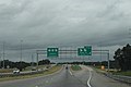
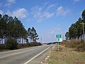
English: State Route 133 is a southeast-to-northwest state highway in southwestern Georgia. The route begins in Valdosta, GA (locally known as St. Augustine Rd) on a northwesterly jaunt through Lowndes County and Brooks County before reaching Moultrie, GA in Colquitt County. From here, the route heads northwest through Doerun, GA, and southern Worth County. From Worth County, the route travels north to its junction with US 19, bypassing Albany, GA along the Liberty Expressway then turns due north until ending at its junction with US 19 and SR 3, adjacent to the GA State Route 3 Bypass in Lee County, north of the Kinchafoonee Creek and south of Leesburg, GA.
highway in Georgia  | |||||
| Upload media | |||||
| Instance of | |||||
|---|---|---|---|---|---|
| Location | Georgia | ||||
| Transport network | |||||
| Owned by | |||||
| Maintained by | |||||
| Length |
| ||||
| |||||
Subcategories
This category has the following 5 subcategories, out of 5 total.
G
L
Media in category "Georgia State Route 133"
The following 17 files are in this category, out of 17 total.
-
 Georgia 133 Alternate.svg 750 × 600; 8 KB
-
 Albany Housefurnishing Co..JPG 4,320 × 3,240; 4.48 MB
-
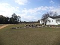 Antioch Missionary Baptist Church North Cemetery, 3512 Moultrie Rd.jpg 4,320 × 3,240; 4.46 MB
-
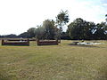 Antioch Missionary Baptist Church South Cemetery, 3512 Moultrie Rd.JPG 4,320 × 3,240; 4.52 MB
-
 Antioch Missionary Baptist Church, 3512 Moultrie Rd.JPG 4,320 × 3,240; 4.45 MB
-
 Federal Courthouse, Albany.JPG 4,262 × 3,152; 5.43 MB
-
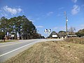 GA 112 133 Junction, Worth County.JPG 4,320 × 3,240; 4.49 MB
-
 GA520eUS82eRoad-Exit1-GA234-GA133-USMC (30707003840).jpg 2,400 × 1,600; 1.67 MB
-
 Georgia 133.svg 750 × 600; 7 KB
-
 Georgia I75sb Exit 18 1 mile.jpg 5,184 × 3,456; 4.76 MB
-
 Georgia state route 133 map.png 1,002 × 549; 142 KB
-
 MM 6 GA 133 NB.jpg 5,184 × 3,456; 8 MB
-
 Moree's Gas Station sign and old hotel sign, GA 133, Dougherty County.JPG 4,320 × 3,240; 4.44 MB
-
 US 19 Exit 5.jpg 5,184 × 3,456; 4.79 MB
-
 US19sGA3sGA133sGA300sSignsAlbany (30973178606).jpg 2,400 × 1,600; 1.82 MB
-
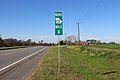
 Worth County Line, GA 133 NB.JPG 4,320 × 3,240; 4.51 MB
-
 Worth County Line, GA 133 SB.JPG 4,320 × 3,240; 4.49 MB


.jpg)


.jpg)

