Category:Henry Clay Village Historic District
Jump to navigation
Jump to search
|
This is a category about a place or building that is listed on the National Register of Historic Places in the United States of America. Its reference number is 71000230. |
| Object location | | View all coordinates using: OpenStreetMap |
|---|
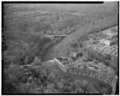
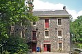
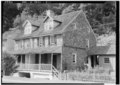
historic district in Wilmington, Delaware, USA  | |||||
| Upload media | |||||
| Instance of | |||||
|---|---|---|---|---|---|
| Location | Wilmington, New Castle County, Delaware | ||||
| Heritage designation |
| ||||
 | |||||
Media in category "Henry Clay Village Historic District"
The following 15 files are in this category, out of 15 total.
-
-

-
 Brandywine Creek at Hagley Museum Wilmington DE.JPG 3,008 × 2,000; 2.85 MB
-
 Brecks Mill DE.jpg 2,566 × 1,710; 2.29 MB
-
-
 Irisbrook Raskob Mansion.JPG 3,008 × 2,000; 3.3 MB
-

-

-

-

-

-
-

-
-


