Category:Horní luka
Jump to navigation
Jump to search
protected area in Czech Republic  Blatouchy v PP Horní luka | |||||
| Upload media | |||||
| Instance of | |||||
|---|---|---|---|---|---|
| Located in protected area | |||||
| Location | Holubov, Český Krumlov District, South Bohemian Region, Czechia | ||||
| Maintained by | |||||
| IUCN protected areas category | |||||
| Inception |
| ||||
| Area |
| ||||
| Partially coincident with |
| ||||
 | |||||
Media in category "Horní luka"
The following 20 files are in this category, out of 20 total.
-
 Horní luka, břízy.jpg 3,312 × 4,416; 8.29 MB
-
 Horní luka, les s náletem.jpg 4,416 × 3,312; 11.09 MB
-
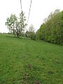
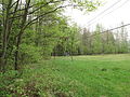 Horní luka, louka a vlek.jpg 4,416 × 3,312; 10.06 MB
-
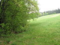
 Horní luka, louka I.jpg 4,416 × 3,312; 10.1 MB
-
 Horní luka, louka II.jpg 4,416 × 3,312; 9.23 MB
-
 Horní luka, louka III.jpg 4,416 × 3,312; 5.97 MB
-
 Horní luka, louka IV.jpg 4,416 × 3,312; 9.54 MB
-
 Horní luka, louka V.jpg 4,416 × 3,312; 7.59 MB
-
 Horní luka, označení.jpg 4,416 × 3,312; 9.7 MB
-
 Horní luka, prstnatec Fuchsův pravý, list.jpg 4,416 × 3,312; 7.58 MB
-
 Horní luka, rostliny II.jpg 4,416 × 3,312; 10.2 MB
-
 Horní luka, rostliny III.jpg 4,416 × 3,312; 12.32 MB
-
 Horní luka, rostliny.jpg 3,312 × 4,416; 9.4 MB
-
 Horní luka, trať II.jpg 3,312 × 4,416; 8.83 MB
-
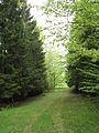
 Horní luka, trať.jpg 4,416 × 3,312; 9.44 MB
-
 Horní luka, tráva.jpg 4,416 × 3,312; 12.25 MB
-
 Horní luka, vlek.jpg 3,312 × 4,416; 7.76 MB
-
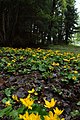 Kleť, PP Horní luka, blatouchy.jpg 3,178 × 4,770; 4.7 MB
-
 Kleť, PP Horní Luka.jpg 4,770 × 3,178; 6.35 MB
-
 Kleť, PP Horní luka.jpg 4,770 × 3,178; 6.36 MB


