Category:Kahl-Burg
Jump to navigation
Jump to search
| Object location | | View all coordinates using: OpenStreetMap |
|---|
 | |||||
| Upload media | |||||
| Instance of | |||||
|---|---|---|---|---|---|
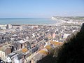
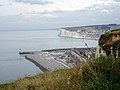
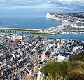
| Location | Le Tréport, Seine-Maritime, Normandy, Metropolitan France, France | ||||
| Street address |
| ||||
| Owned by | |||||
 | |||||
Media in category "Kahl-Burg"
The following 14 files are in this category, out of 14 total.
-

-
-
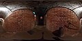 Kahl-Burg – interieur 1 – 360° panorama – 2019.jpg 5,376 × 2,688; 4.06 MB
-
 Kahl-burg01.jpg 768 × 1,024; 174 KB
-
 Kahl-burg02.jpg 768 × 1,024; 169 KB
-
 Kahl-burg03.jpg 1,024 × 768; 232 KB
-
 Kahl-burg04.jpg 1,024 × 768; 225 KB
-
 Kahl-burg05.jpg 1,024 × 768; 162 KB
-
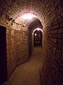
 Kahl-burg06.jpg 1,024 × 768; 204 KB
-
 Kahl-burg07.jpg 768 × 1,024; 172 KB
-
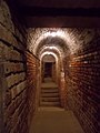
 LE TREPORT (76) - Kahl-Burg - escalier d'accès au poste d'observation supérieur.jpg 1,522 × 2,030; 421 KB
-
 Le Tréport Falaise.jpg 5,184 × 2,912; 3.74 MB
-
 LeTréport les falaises donnant sur Mers (1).jpg 4,499 × 3,374; 2.88 MB
-
 LeTréport les falaises donnant sur Mers (7).jpg 3,117 × 2,954; 2.71 MB


_-_Kahl-Burg_-_escalier_d%27acc%C3%A8s_au_poste_d%27observation_sup%C3%A9rieur.jpg)

.jpg)
.jpg)