Category:Locator maps of former parliamentary constituencies of England 1948
Jump to navigation
Jump to search
Maps of constituencies as created by the Representation of the People Act 1948, largely based on those proposed in the interim report of the Parliamentary Boundary Commission for England.
Media in category "Locator maps of former parliamentary constituencies of England 1948"
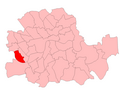
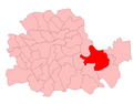
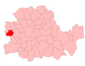
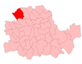
The following 44 files are in this category, out of 44 total.
-
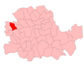
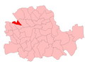
 BaronsCourt.png 700 × 550; 26 KB
-
 BatterseaNorth1950.png 700 × 550; 26 KB
-
 BatterseaSouth1950.png 700 × 550; 26 KB
-
 Bermondsey1950.png 700 × 550; 26 KB
-
 BethnalGreen1950.png 700 × 550; 26 KB
-
 Brixton1950.png 700 × 550; 26 KB
-
 Chelsea1950.png 700 × 550; 26 KB
-
 Clapham1950.png 700 × 550; 26 KB
-
 Deptford1950.png 700 × 550; 26 KB
-
 Dulwich1950.png 700 × 550; 26 KB
-
 FulhamEast1950.png 700 × 550; 26 KB
-
 FulhamWest1950.png 700 × 550; 26 KB
-
 Greenwich1950.png 700 × 550; 26 KB
-
 HackneySouth1950.png 700 × 550; 26 KB
-
 HammersmithNorth1950.png 700 × 550; 26 KB
-
 HammersmithSouth1950.png 700 × 550; 26 KB
-
 Hampstead1950.png 700 × 550; 26 KB
-
 HolbornStPancrasSouth1950.png 700 × 550; 26 KB
-
 IslingtonEast1950.png 700 × 550; 26 KB
-
 IslingtonNorth1950.png 700 × 550; 26 KB
-
 IslingtonSouthWest1950.png 700 × 550; 26 KB
-
 KensingtonNorth1950.png 700 × 550; 26 KB
-
 KensingtonSouth1950.png 700 × 550; 26 KB
-
 LewishamNorth.png 700 × 550; 26 KB
-
 LewishamSouth.png 700 × 550; 26 KB
-
 LewishamWest1950.png 700 × 550; 26 KB
-
 Norwood1950.png 700 × 550; 26 KB
-
 PaddingtonNorth1950.png 700 × 550; 26 KB
-
 PaddingtonSouth1950.png 700 × 550; 26 KB
-
 Peckham1950.png 700 × 550; 26 KB
-
 Poplar1950.png 700 × 550; 26 KB
-
 Putney1950.png 700 × 550; 19 KB
-
 ShoreditchFinsbury1950.png 700 × 550; 26 KB
-
 Southwark1950.png 700 × 550; 26 KB
-
 Stepney1950.png 700 × 550; 26 KB
-
 StMarylebone1950.png 700 × 550; 18 KB
-
 StokeNewingtonHackneyN1950.png 700 × 550; 26 KB
-
 StPancrasNorth1950.png 700 × 550; 26 KB
-
 Streatham1950.png 700 × 550; 26 KB
-
 TwoCities1950.png 700 × 550; 26 KB
-
 Vauxhall1950.png 700 × 550; 26 KB
-
 WandsworthCentral1950.png 700 × 550; 26 KB
-
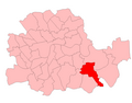
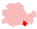
 WoolwichEast1950.png 700 × 550; 26 KB
-
 WoolwichWest1950.png 700 × 550; 26 KB


