Category:Locator maps of neighborhoods in Velsen
Jump to navigation
Jump to search
Media in category "Locator maps of neighborhoods in Velsen"
The following 71 files are in this category, out of 71 total.
-
-
-

-

-

-

-
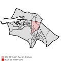
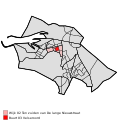
 Map - NL - Velsen - Wijk 00 Velsen-Zuid en Driehuis.svg 625 × 575; 15 KB
-
-

-

-

-
-

-

-
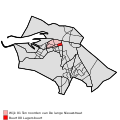
 Map - NL - Velsen - Wijk 01 Ten noorden van De lange Nieuwstraat.svg 625 × 575; 15 KB
-

-

-

-
-

-

-

-
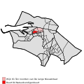
 Map - NL - Velsen - Wijk 02 Ten zuiden van De lange Nieuwstraat.svg 625 × 575; 15 KB
-

-

-

-

-
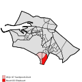
 Map - NL - Velsen - Wijk 03 IJmuiden-West.svg 625 × 575; 15 KB
-

-

-

-

-

-

-

-
 Map - NL - Velsen - Wijk 04 Duin-en Zeewijk.svg 625 × 575; 15 KB
-
 Map - NL - Velsen - Wijk 05 Velsen-Noord - Buurt 00 Gildenbuurt.svg 375 × 375; 40 KB
-

-

-

-

-

-
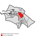
 Map - NL - Velsen - Wijk 05 Velsen-Noord.svg 625 × 575; 15 KB
-

-

-

-

-

-

-

-

-
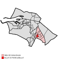
 Map - NL - Velsen - Wijk 06 Santpoort-Noord.svg 625 × 575; 15 KB
-

-

-

-
 Map - NL - Velsen - Wijk 07 Santpoort-Zuid - Buurt 03 Eltabuurt.svg 375 × 375; 40 KB
-
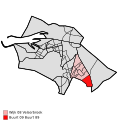
 Map - NL - Velsen - Wijk 07 Santpoort-Zuid.svg 625 × 575; 15 KB
-
 Map - NL - Velsen - Wijk 08 Velserbroek - Buurt 00 Hofgeest.svg 375 × 375; 40 KB
-
 Map - NL - Velsen - Wijk 08 Velserbroek - Buurt 01 Kampbuurt.svg 375 × 375; 40 KB
-
 Map - NL - Velsen - Wijk 08 Velserbroek - Buurt 02 Weidbuurt.svg 375 × 375; 40 KB
-
-
 Map - NL - Velsen - Wijk 08 Velserbroek - Buurt 04 Buurt 84.svg 375 × 375; 40 KB
-
 Map - NL - Velsen - Wijk 08 Velserbroek - Buurt 05 Buurt 85.svg 375 × 375; 40 KB
-
 Map - NL - Velsen - Wijk 08 Velserbroek - Buurt 06 Buurt 86.svg 375 × 375; 40 KB
-
 Map - NL - Velsen - Wijk 08 Velserbroek - Buurt 07 Buurt 87.svg 375 × 375; 40 KB
-
 Map - NL - Velsen - Wijk 08 Velserbroek - Buurt 08 Buurt 88.svg 375 × 375; 40 KB
-
 Map - NL - Velsen - Wijk 08 Velserbroek - Buurt 09 Buurt 89.svg 375 × 375; 40 KB
-
 Map - NL - Velsen - Wijk 08 Velserbroek.svg 625 × 575; 15 KB
-
-

-
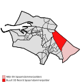
 Map - NL - Velsen - Wijk 09 Spaarndammerpolders.svg 625 × 575; 15 KB


