Category:Locator maps of populated places in Somerset County, New Jersey
Jump to navigation
Jump to search
Media in category "Locator maps of populated places in Somerset County, New Jersey"
The following 20 files are in this category, out of 20 total.
-
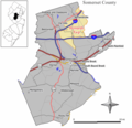
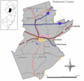
 Bedminster twp nj 035.png 600 × 580; 46 KB
-
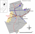
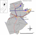
 Bernards twp nj 035.png 600 × 580; 45 KB
-
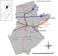
 Bernardsville nj 035.png 600 × 580; 45 KB
-
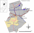
 Branchburg twp nj 035.png 600 × 580; 47 KB
-
 Far hills nj 035.png 600 × 580; 45 KB
-
 Franklin twp nj 035.png 600 × 580; 47 KB
-
 Green brook twp nj 035.png 600 × 580; 46 KB
-
 Hillborough twp nj 035.png 600 × 580; 47 KB
-
 Manville nj 035.png 600 × 580; 45 KB
-
 Millstone nj 035.png 600 × 580; 45 KB
-
 Montgomery twp nj 035.png 600 × 580; 47 KB
-
 North plainfield nj 035.png 600 × 580; 45 KB
-
 Peapack and gladstone nj 035.png 600 × 580; 45 KB
-
 Raritan nj 035.png 600 × 580; 45 KB
-
 Rocky hill nj 035.png 600 × 580; 45 KB
-
 Somerset cdp nj 035.png 600 × 580; 47 KB
-
 Somerville nj 035.png 600 × 580; 44 KB
-
 South bound brook nj 035.png 600 × 580; 45 KB
-
 Warren twp nj 035.png 600 × 580; 46 KB
-
 Watchung nj 035.png 600 × 580; 46 KB


