Category:Maps of Ceredigion
Jump to navigation
Jump to search
Wikimedia category | |||||
| Upload media | |||||
| Instance of | |||||
|---|---|---|---|---|---|
| Category combines topics | |||||
| Ceredigion | |||||
principal area in mid-Wales, corresponding to the historic county of Cardiganshire     | |||||
| Pronunciation audio | |||||
| Instance of | |||||
| Location | Wales | ||||
| Located in or next to body of water | |||||
| Capital | |||||
| Highest point |
| ||||
| Population |
| ||||
| Area |
| ||||
| official website | |||||
 | |||||
Subcategories
This category has the following 5 subcategories, out of 5 total.
Media in category "Maps of Ceredigion"
The following 24 files are in this category, out of 24 total.
-
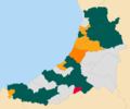 2022 Ceredigion County Council election map.png 1,200 × 1,004; 128 KB
-
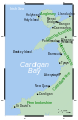
 BaeCeredigion.svg 2,030 × 3,120; 71 KB
-
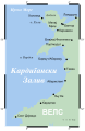
 CardiganBay cy.svg 2,030 × 3,120; 65 KB
-
 CardiganBay mk.svg 2,030 × 3,120; 252 KB
-
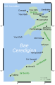
 CardiganBay.svg 2,030 × 3,120; 66 KB
-
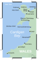
 CardiganBay2.svg 2,030 × 3,120; 69 KB
-
 CardiganshireBrit6.PNG 398 × 459; 11 KB
-
 Ceredigion county council election 2012 map.png 1,396 × 1,124; 203 KB
-
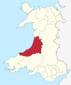 Ceredigion in Wales.svg 1,047 × 1,252; 395 KB
-
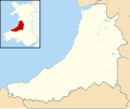
 Ceredigion UK community map (blank).svg 1,425 × 1,192; 1.1 MB
-
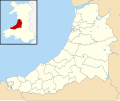
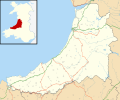 Ceredigion UK location map.svg 1,425 × 1,192; 799 KB
-
 Ceredigion UK map.svg 1,425 × 1,192; 526 KB
-
 Ceredigion UK relief location map.jpg 1,999 × 1,672; 391 KB
-
 Ceredigion UK ward map (blank).svg 1,425 × 1,192; 1,000 KB
-
 CeredigionConstituency.svg 200 × 240; 293 KB
-
 Deheubarth.PNG 396 × 411; 9 KB
-
 Deheubarth1.PNG 570 × 591; 32 KB
-
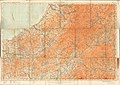 Ordnance Survey Half-inch Sheet 21 Brecon and Lampeter, Published 1913.jpg 11,480 × 8,123; 9.71 MB
-
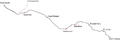 ValeofRheidolMap.png 2,612 × 864; 79 KB
-
 Wales Ceredigion locator map.svg 1,047 × 1,251; 149 KB
-
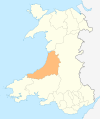
 Wales Ceredigion.png 335 × 431; 7 KB
-
 Wales Ceredigion.svg 512 × 612; 277 KB
-
 WalesCardiganshireTrad.png 200 × 250; 24 KB
-
 WalesCeredigion.png 200 × 225; 12 KB


.svg)
.svg)